Browse Listings in Africa > North Africa
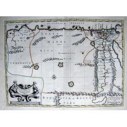
Aegyptus Antiqua Divisa in Nomos.
A map of ancient Egypt that is oriented with West at the top of the page. Sourced from a map by Pierre Duval and published in a Dutch text edition of J. Jansson's histori...
Date: Amsterdam, 1684
Selling price: ????
Please login to see price!
Sold in 2018
Aegyptus Antiqua Divisa in Nomos
A fine map of ancient Egypt oriented with west at the top of the page. Compiled and drawn by Pierre Duval for Jansson's historical atlas. No text on verso. The map featur...
Date: Amsterdam, 1684
Selling price: ????
Please login to see price!
Sold in 2016
Die Statt Alkeir in Aegypten (Cairo).
A copper engraved view of Caire from Johann Christoph WAGNER's " Delineatio provinciarum Pannoniae et imperii Turcici in oriente. Eine grundrichtige Beschreibung deĂ...
Date: Augsburg, ca 1684
Selling price: ????
Please login to see price!
Sold in 2020
Mediterranean Sea divided into its Principall Parts of Seas
This marvelous very rare map depicts the Mediterranean Sea including its entire coastline, and much of the Ottoman Empire as it was in the late 17th century.The map is de...
Date: London, 1685
Selling price: ????
Please login to see price!
Sold in 2023
Insulae Canariae alias Fortunatae
A 17th century copper-engraved map (nautical chart) of the Canary Islands and Madeira, from a French edition of Olfert Dapper's ´Naukeurige Beschrijvinge der Afrikaensch...
Date: Amsterdam, 1686
Selling price: ????
Please login to see price!
Sold in 2023
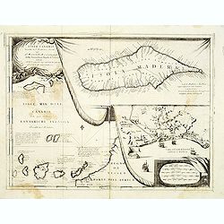
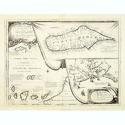
Isole Canarie..
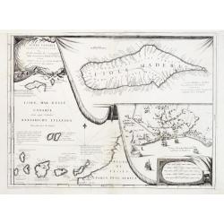
Decorative and highly detailed map of the Islands of the Canaries and Madeira, with a large inset of the port of Funchal. Includes two decorative cartouches.The remarkabl...
Date: Venice 1690
Selling price: ????
Please login to see price!
Sold
Aegyptus antiqua.
From the Hornius edition of the Ancient Atlas by Janssonius. No text on verso.
Date: Amsterdam, ca 1690
Selling price: ????
Please login to see price!
Sold in 2012
Penon de Velez.
Magnificent panoramic of Penon de Velez de la Gomera, a Spanish rock in North Africa off the Moroccan coast (Plazas de soberanĂa). Etched by Gaspar Bouttats (1640-1695)...
Date: Antwerp, c.1690
Selling price: ????
Please login to see price!
Sold in 2017
Tuni
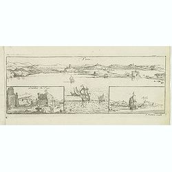
Magnificent bird's eye- of Tunis. Etched by Gaspar Bouttats (1640-1695).The Antwerp-based publisher Jacques Peeters published ca. 1690 a series of prints related to the H...
Date: Antwerp, c.1690
Selling price: ????
Please login to see price!
Sold in 2022
Gibraltar.
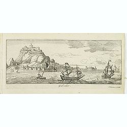
A magnificent bird's eye- of Gibraltar. Etched by Gaspar Bouttats (1640-1695).The Antwerp-based publisher Jacques Peeters published ca. 1690 a series of prints related to...
Date: Antwerp, c.1690
Selling price: ????
Please login to see price!
Sold in 2015
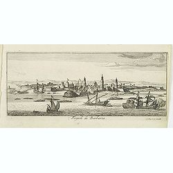
Tripoli de Barbaria.
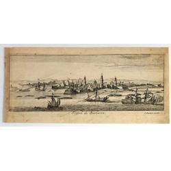
Magnificent bird's eye- of Tripoli. Etched by Gaspar Bouttats (1640-1695).The Antwerp based publisher Jacques Peeters published ca. 1690 a series of prints related to the...
Date: Antwerp, c.1690
Selling price: ????
Please login to see price!
Sold in 2013
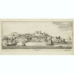
Tangere.
Magnificent bird's eye- of Tanger. Etched by Gaspar Bouttats (1640-1695).The Antwerp based publisher Jacques Peeters published ca. 1690 a series of prints related to the ...
Date: Antwerp, c.1690
Selling price: ????
Please login to see price!
Sold in 2013
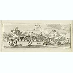
Algiers.
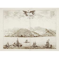
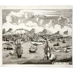
Magnificent bird's eye- of Algiers. Etched by Gaspar Bouttats (1640-1695).The Antwerp based publisher Jacques Peeters published ca. 1690 a series of prints related to the...
Date: Antwerp, c.1690
Selling price: ????
Please login to see price!
Sold in 2013
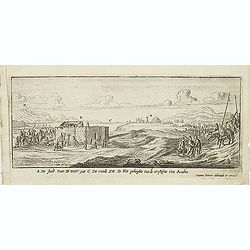
A De Stadt Zues. B Water put. C De roode Zee. D het geberghte van de wofteyne van Arabia. (Suez)
Magnificent early view of Suez. Etched by Gaspar Bouttats (1640-1695).The Antwerp based publisher Jacques Peeters published ca. 1690 a series of prints related to the Hab...
Date: Antwerp, c.1690
Selling price: ????
Please login to see price!
Sold in 2016
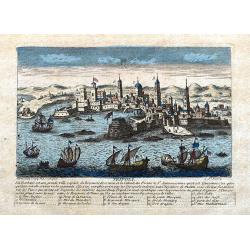
Tripoli de Barbaria.
Fine bird's eye view of the city of Tripoli, Lybia. Etched in about 1690 by Gaspar Bouttats (1640-1695).The Antwerp based publisher, Jacques Peeters, published ca. 1690 a...
Date: Antwerp, c. 1690
Selling price: ????
Please login to see price!
Sold in 2017
Isola e Castello di Gerbi.
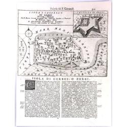
A large antique sheet from Vincenzo Coronelli's well known “Isolario” or Island Book, with a map the island of Djerba (Gerbi), off the north coast of Africa (Tunisia)...
Date: Venice, 1691
Selling price: ????
Please login to see price!
Sold in 2017
Isola della Goletta. Tunisi.
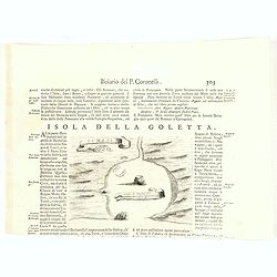
Rare plan of Tunis.Vincenzo Coronelli (August 16th, 1650 - December 9th, 1718) was a Franciscan monk, a Venetian cosmographer, cartographer, publisher, and encyclopaedist...
Date: Venice, 1691
Selling price: ????
Please login to see price!
Sold in 2020
Alexandria d'Egiptio. (Panoramic view of Alexandria)
Rare panoramic view of Alexandria in Egypt.The print is signed in the lower right hand corner. Underneath the signature are the remains of a earlier signature slightly vi...
Date: Antwerp 1692
Selling price: ????
Please login to see price!
Sold
Algiers. (Panoramic view of Algiers)
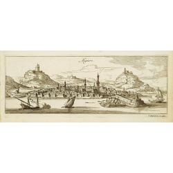
Rare panoramic view of Algiers in Algeria.The print is signed in the lower right hand corner. Underneath the signature are the remains of a earlier signature slightly vis...
Date: Antwerp 1692
Selling price: ????
Please login to see price!
Sold
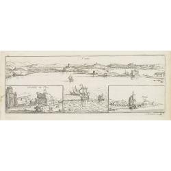
Tuni (Panoramic view of Tunis)
Rare panoramic of Tunis. With two smaller insets of the Caste of Tunis and the town of Argila.The print is signed in the lower right hand corner. Engraved by Lucas Voste...
Date: Antwerp, 1692
Selling price: ????
Please login to see price!
Sold in 2011
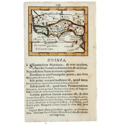
GUINEA, 1692
Lovely miniature map showing the western and central African regions on the Gulf of Guinea as Cameroon, Nigeria, Benin, Togo, Ghana, Ivory Coast, Liberia, Sierra Leone. ...
Date: Frankfurt, 1692
Selling price: ????
Please login to see price!
Sold in 2020
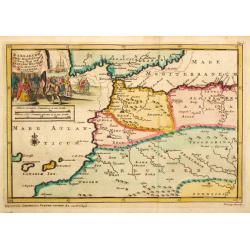
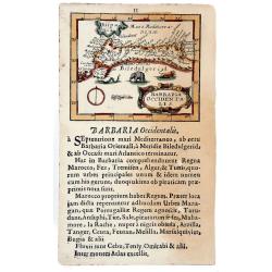
BARBARIA Occidentalis, 1692.
Lovely miniature map showing the north west Africa. Marok, Suz, Alger. Also, showing south Spain, with illustrating animals. From the "Neu aussgeffertigter kleiner A...
Date: Frankfurt, 1692
Selling price: ????
Please login to see price!
Sold in 2020
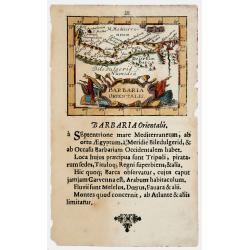
BARBARIA Orientalis, 1692
Lovely miniature map showing the north Egypt with Cairo and Numidia. Also showing Malta and Candia. From the ""Neu aussgeffertigter kleiner Atlas" one of t...
Date: Frankfurt, 1692
Selling price: ????
Please login to see price!
Sold in 2020
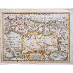
Bitedulgerid & Zaara. 1692 [Sahara]
Lovely miniature map showing the north west Africa depicting Nigritia, Nubia, Azara desert, etc. From the "Neu aussgeffertigter kleiner Atlas" one of the rarest...
Date: Frankfurt, 1692
Selling price: ????
Please login to see price!
Sold in 2020
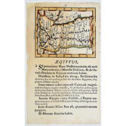
AEGYPTUS. 1692
Lovely miniature map showing Egypt. From the "Neu aussgeffertigter kleiner Atlas" one of the rarest and most interesting of all miniature atlases published in F...
Date: Frankfurt, 1692
Selling price: ????
Please login to see price!
Sold in 2020
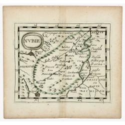
NUBIE (NUBIA)
Nubie old, outlined colored historical miniature map of Nubia along the Nile river located in what is today northern Sudan and southern Egypt. The map is copperplate engr...
Date: Nuremberg, 1694
Selling price: ????
Please login to see price!
Sold in 2020
Isole Canarie. . .
Decorative and highly detailed map of the Islands of the Canaries and Madeira, with a large inset of the port of Funchal. Includes two decorative cartouches.On verso Ital...
Date: Venice, ca.1696
Selling price: ????
Please login to see price!
Sold in 2012
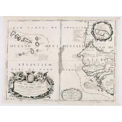
Bocche del Fiume Negro et Isole di Capo Verde. . .
This is a splendid map of the northwestern coast of Africa and the Cape Verde Islands.The map provides details of the various Portuguese discoveries in the region in the ...
Date: Venice, 1696
Selling price: ????
Please login to see price!
Sold in 2020
Aegyptus et Cyrene.
An attractive antique map of Egypt and Libya by Philip Cluver. It details the Mediterranean coast from the Red Sea to Libya and south to Garama. The coastal region of Lib...
Date: Paris, 1697
Selling price: ????
Please login to see price!
Sold in 2018
Isole Canarie. . .
Decorative and highly detailed map of the Islands of the Canaries and Madeira, with a large inset of the port of Funchal. Includes two decorative cartouches.On verso a vi...
Date: Venice, 1698
Selling price: ????
Please login to see price!
Sold in 2012
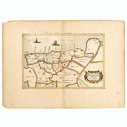
Appendix Tab. III. Africae, Aegyptum Inferiorem Exhibens.
Map of the Nile delta based on the Ptolemaic model. Mercator originally published this map in his 1578 edition of Ptolemy's great Geography. Although he is most renowned ...
Date: Amsterdam, 1698
Selling price: ????
Please login to see price!
Sold in 2015
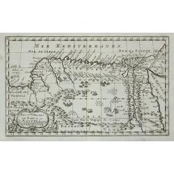
Royaume et desert de Barca, et Aegypte ...
An attractive miniature map of Egypt prepared by N.Sanson. Engraved by A.de Winter.
Date: Paris, c.1700
Selling price: ????
Please login to see price!
Sold in 2011
PATRIARCHATUS ALEXANDRINI...
Very interesting copper engraved map of Egypt and Lybia.Shows the Nile river with numerous ancient place names and some more cities along the coast are named.Mystical lar...
Date: Amsterdam, ca. 1700
Selling price: ????
Please login to see price!
Sold in 2011
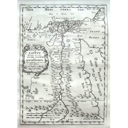
Egypte divisée en ses Douze Cassilifs, ...
Map of Egypt. From Description de tout l'Univers, published by François Halma.
Date: Amsterdam, 1700
Selling price: ????
Please login to see price!
Sold in 2012
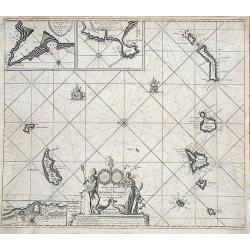
Nieuwe Pascaert van al de Carnarisse Eylande.
One of the most rare and sought after early maps of the Canary Islands. This large nautical map includes a latitude scale, a compass rose in the centre and a complex syst...
Date: Amsterdam, 1700
Selling price: ????
Please login to see price!
Sold in 2017
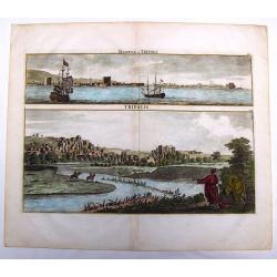
Marina di Tripoli & Tripoli.
This hand-colored, copper plate engraving shows two views of the port and city of Tripoli,Lybia. This scarce print is from: 'Voyage au Levant…” published by Henri de ...
Date: Amsterdam, 1700
Selling price: ????
Please login to see price!
Sold in 2013
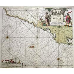
Paskaart van de Kuste van Gualate en Arguyn...
A very decorative seah-chart of the coastline of Western Sahara, between Cape Bojador and Ras Nouadhibou. Oriented to the east. With attractive hand-color, a sailing ship...
Date: Amsterdam, ca. 1680-1700
Selling price: ????
Please login to see price!
Sold in 2016
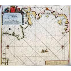
Nieuwe Pascaart voor een Gedeelte van de Zeekusten van Barbaria... Candia...
A very decorative sea-chart of the coastline of Libya, from Misurata to Crete. Curious shape of the coast with several cities shown. Oriented with south on the top. With ...
Date: Amsterdam, ca. 1680-1700
Selling price: ????
Please login to see price!
Sold in 2017
Egypte divisée en ses Douze Cassilifs. . .
A fine map of Egypt with parts of the Red Sea and Israel. Very detailed representation of the Nile River Valley, showing major cities, mountains and oases.
Date: Paris, ca 1700
Selling price: ????
Please login to see price!
Sold in 2018
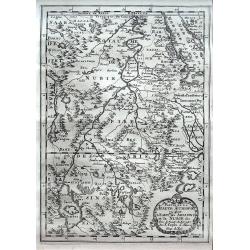
Partie de La Haute Aethiopie ou sont L'Empire des Abissins et la Nubie, & c.
An excellent map of the Nile with its mythical sources. Shows the Nile River from Zaire Lake and Zaflant Lake, until Assuan (Aswan). Richly detailed with place names, hil...
Date: Paris, ca 1700
Selling price: ????
Please login to see price!
Sold in 2020
FEZZAE et MAROCCHI Regna Africae Celeberrima.
A beautiful, old color map of Morocco, showing large fortified towns of Marakesh, Taradante and Fez, towns, mountains, rivers, lakes, etc. Tanger, Cueta and Rio Rabata al...
Date: Amsterdam, 1700
Selling price: ????
Please login to see price!
Sold in 2021
ROYAUME et Desert De BARCE, et L'AEGYPTE divisee en ses Principales Parties.
Very fine, decorative map of Egypt prepared by N.Sanson. Engraved by A.de Winter.
Date: Paris, 1700
Selling price: ????
Please login to see price!
Sold in 2019
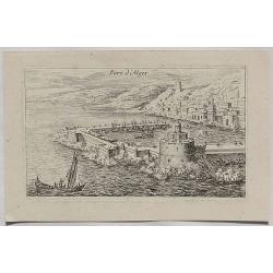
Port d'Alger.
A fine copper engraved city view of Algiers, in Algeria from about 1700.
Date: Paris, ca 1700
Selling price: ????
Please login to see price!
Sold in 2020
Salee, een vermaerde Koopstadt, en roofnest, gelegen aen de Atlantische of Spaense zee.
From Schenk's Hecatompolis sive Totius Terrarum Oppida Nobiliora Centrum.. , a collection of 100 views, dedicated to the 14-year old Prussian crown prince, the later king...
Date: Amsterdam, 1702
Selling price: ????
Please login to see price!
Sold in 2009
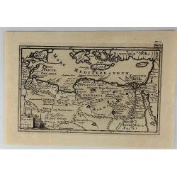
Egypten theilet sich.
Fantastic miniature map of Egypt, despite it size with many place names. Below the map it lists the areas and main cities. An increasingly rare map.
Date: Ulm, 1702
Selling price: ????
Please login to see price!
Sold in 2017
Canary, Azores+Cape Verde Islands. -ARCHIPELAGUS ATLANTICUS, CUM SUIS INSULIS CANARIIS, HESPERIDIBUS [CAPE VERDE] ET AZORIBUS.
A very decorative map of Northwestern Africa and the Canary, Azores and Cape Verde Islands, with a large inset of Tenerife and Grand Canary Island. The richly decorated m...
Date: Munich, 1702
Selling price: ????
Please login to see price!
Sold in 2021
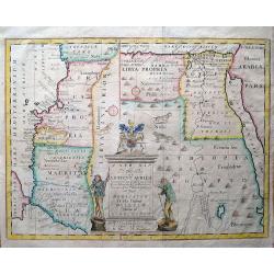
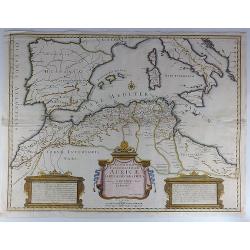
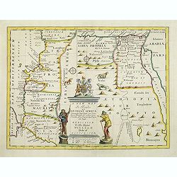
A new map of the north part of Antient Africa, shewing the chiefe people, cities, towns, rivers, and mountains in Mauritania, Numidia, Africa Propria, Libya Propria, and Egypt...
Ancient North Africa in two parts, the left portion shows Morocco to Cyrenaica (Libya), and is oriented to the east; the right portion from Cyrenaica to the Red Sea, orie...
Date: London, c1704
Selling price: ????
Please login to see price!
Sold in 2013
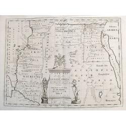
A new map of the north part of Ancient Africa, shewing the chiefe people, cities, towns, rivers, and mountains in Mauritania, Numidia, Africa Propria, Libya Propria, and Egypt...
Ancient North Africa in two parts, the left portion shows Morocco to Cyrenaica (Libya), and is oriented to the east; the right portion from Cyrenaica to the Red Sea, orie...
Date: London, ca.1704
Selling price: ????
Please login to see price!
Sold in 2017
T koninkryk en de Woestyne van Aegypten.
Nicolas Sanson (1600-67), ' father of the French cartography' and founder of the Sanson firm. Atlas ' Cartes générales de toutes les parties du Monde', 1658-70 and a po...
Date: Amsterdam, F. Halma, 1705
Selling price: ????
Please login to see price!
Sold in 2016
' T Ryk van Fez verdeelt in zeven Landschappen
Nicolas Sanson (1600-67), ' father of the French cartography' and founder of the Sanson firm. Atlas ' Cartes générales de toutes les parties du Monde', 1658-70 and a po...
Date: Amsterdam, F. Halma, 1705
Selling price: ????
Please login to see price!
Sold in 2009
Egypten, verdeelt in zyne twaalf Cassilifen of Landvoogdyen.
An attractive map of Egypt from Nicolas Sanson's pocket atlas. Nicolas Sanson (1600-67), the father of the French cartography' and founder of the Sanson firm. Published a...
Date: Amsterdam, F. Halma, 1705
Selling price: ????
Please login to see price!
Sold in 2019
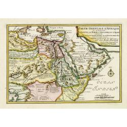
Partie Orientale d'Afrique ou se trouvent l'Egipte, La Nubie. . . L.Arabie . . . Et la Mer Rouge.
The map includes Northern Africa and the Arabian peninsular. Engraved by C.Inselin. Dated in the lower right corner. From his "Atlas Curieux", published 1700-17...
Date: Paris, 1705
Selling price: ????
Please login to see price!
Sold in 2011
Gedeelte van Barbaryen, waar in legt 't Rijk van Algiers verdeelt in zyne Lanschappen.
Northern part of Algeria. Published by Frans Halma
Date: Utrecht, F. Halma,1705
Selling price: ????
Please login to see price!
Sold in 2013
T Ryk van Fez verdeelt in zeven Landschappen, getrokken uit Sanutus enz.
Map of Fez in Morocco. Published by Frans Halma
Date: Utrecht, F. Halma,1705
Selling price: ????
Please login to see price!
Sold in 2013
T Ryk van Fez verdeelt in zeven Landschappen
Nicolas Sanson (1600-67), ' father of the French cartography' and founder of the Sanson firm. Atlas ' Cartes générales de toutes les parties du Monde', 1658-70 and a po...
Date: Amsterdam, F. Halma, 1705
Selling price: ????
Please login to see price!
Sold in 2018
Barbaryen.
Pieter van der Aa was a prolific publisher. He published a.o. ' Naaukeurige versameling der gedenkwaardigste zee- en land-reysen', a series of accounts of voyages (1706-0...
Date: Leiden, 1707
Selling price: ????
Please login to see price!
Sold
Theatrum historicum ad Annum Christi Quadringentesimum...
Striking map of the world in two Hemispheres from the time of the Roman Empire. Dating from the 8th century, the Roman empire expanded to become one of the largest empi...
Date: London, 1710
Selling price: ????
Please login to see price!
Sold in 2018
Tripoli.
A decorative view of Tripoli. With detailed sailing ships and buildings. Below the view with descriptive French text of the city and its (pirate) history. A 1-16 legend k...
Date: Paris, ca 1710
Selling price: ????
Please login to see price!
Sold in 2020
The Making of the Canary Islands.
The Making of the Canary Islands, a woodblock chart by Samuel Thornton showing the approaching coast lines of The Island of Madera, Gran Canaries and Island of Palma on t...
Date: London, 1711
Selling price: ????
Please login to see price!
Sold in 2014
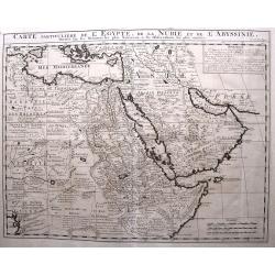
CARTE Particuliere de L' EGYPTE, de la NUBIE, et de L' ABYYSSINIE.
Detailed map of Cyprus, Asia Minor, the Middle East and North Africa, colored by regions.
Date: Amsterdam, 1711
Selling price: ????
Please login to see price!
Sold in 2020
A new map of the north of antient Africa. . .
Decorative map of the north part of Ancient Africa. East to the top.This decorative map was part of a set of 22 maps dedicated to William, Duke of Gloucester, who was the...
Date: Oxford, 1712
Selling price: ????
Please login to see price!
Sold in 2011
Carte Particuliere de L'Egypte, de l Nubie et de L'Abbisinie.
This (large) beautiful map is based on the work of the important French cartographer Guillaume Delisle. It is a very detailed and fascinating view of northeastern Africa,...
Date: Amsterdam, 1719
Selling price: ????
Please login to see price!
Sold in 2016
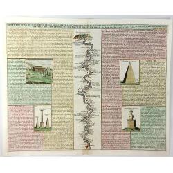
Description du Nil de Ses Sources de Son Cours Depuis les Cataractes Jusques au Caire ....
A fine folio engraving centred on the river Nile (with north at the bottom), stretching from the 1st cataract at Aswan to Cairo with accompanying text in French. On eithe...
Date: Amsterdam, 1719
Selling price: ????
Please login to see price!
Sold in 2021
De stadt Algier.
Rare panoramic view of Algiers in Algeria.Printed by Covens and Mortier, who used the plates originally engraved for Montanus. Uncommon issue.
Date: Amsterdam 1720
Selling price: ????
Please login to see price!
Sold
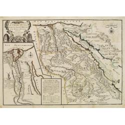
Le Cours Du Nil, Suivant Les Auteurs Modernes et les dernieres Relations.
Two maps on one sheet: a general depiction of the Nile Valley and Egypt, and a smaller map focusing on the delta region with detail of ancient civilization.
Date: Paris, 1720
Selling price: ????
Please login to see price!
Sold
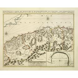
Nouvelle carte du Roiaume D\'Alger divisée en toutes ses provinces, avec une partie due cotes D\'Espagne . . .
Rare and detailed map of the coast of Algeria. Large inset map of the Bay of Alger (El-Jazir). Shows a coastline of Spain around Alicante. Two compass roses in the Medite...
Date: Amsterdam, 1720
Selling price: ????
Please login to see price!
Sold in 2012
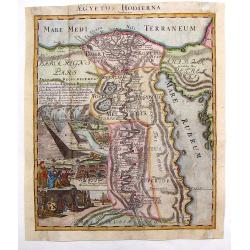
Aegyptus Hodierna.
Highly decorative map depicting the Nile River. Large vignette featuring the pyramids, Sphinx, tombs of the kings and waterfall. Johann Baptist Homann (1664 – 1724) wa...
Date: Nuremberg, 1720
Selling price: ????
Please login to see price!
Sold in 2013
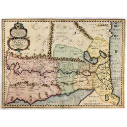
Aegyptus Antiqua Divisa in Nomos.
Very interesting copper engraved map of Northern Egypt and parts of Lybia, showing the are from the Mediterranean Sea with the Nile delta and Alexandria, to the Red Sea, ...
Date: Amsterdam, c1720
Selling price: ????
Please login to see price!
Sold in 2011
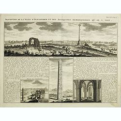
Description de la Ville d'Alexandrie et des Antiquites Remarquables qu'on y voit.
Panoramic view of the ancient Egyptian port city of Alexandria accompanied by insets of "Palais de Cleopatre" (the ruins of Cleopatra's palace), Obelisque d'Ale...
Date: Amsterdam, 1720
Selling price: ????
Please login to see price!
Sold in 2016
Singularitez Curieuses des Royaumes de Maroc et de Fez dans la Barbarie . . .
In the top a map of the Barbary Coast entitled La Barbarie. The text in the center of the sheet describes the Kingdoms of Morocco and Fez. The panel is bordered with thei...
Date: Amsterdam, 1720
Selling price: ????
Please login to see price!
Sold in 2023
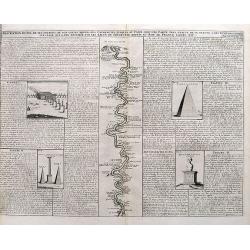
Description Du Nil de ses Sources, De Son Cours Depuis Les Cataractes Jusques Au Caire,...
A detailed map of the course of the Nile River, from the cataracts of the Nile at the south (top of the image) to Cairo and Giza. Shows one of the Pyramids (1400 feet tal...
Date: Amsterdam, ca. 1720
Selling price: ????
Please login to see price!
Sold in 2017
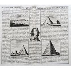
Description des Piramides d'Egypte...
An interesting sheet with four views of the Pyramids of Giza and one image of the Sphinx. With extensive descriptive text in French.
Date: Amsterdam, ca. 1720
Selling price: ????
Please login to see price!
Sold in 2017
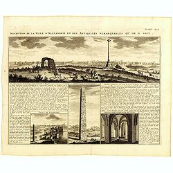
Description de la Ville d'Alexandrie et des Antiquites Remarquables qu'on y voit.
Panoramic view of the ancient Egyptian port city of Alexandria accompanied by insets of "Palais de Cleopatre" (the ruins of Cleopatra's palace), Obelisque d'Ale...
Date: Amsterdam, 1720
Selling price: ????
Please login to see price!
Sold in 2019
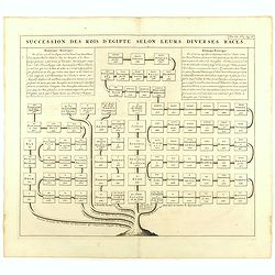
Succession des Rois d'Egipte selon leurs diverses races.
Genealogical tree, showing the Kings of Egypt.Zacharie Chatelain (d.1723) was the father of Henri Abraham (1684-1743) and Zacharie Junior (1690-1754).They worked as a par...
Date: Amsterdam, ca. 1720
Selling price: ????
Please login to see price!
Sold in 2023
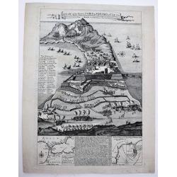
A Plan of the Famous Town & Fortress of Ceuta, Besieg'd by the Moors in 1693 & raid by ye Spaniards after 26 Years Siege in 1720. . .
A very rare separately published broad sheet map of Ceuta, with two insets of Gibraltar and explanatory text, as well as 29 keys, explaining the various strongholds and i...
Date: London, 1721
Selling price: ????
Please login to see price!
Sold in 2020
Nieuwe Paskaart vant Naauw van de Straat. op gedragen aan den Hoog Edel geboren Heer F. Van Aerssen Van Sommelsduk
This is a scarce and well designed sea chart of the Strait of Gibraltar, oriented east with Spain on the left and the Barbary Coast (present-day Morocco) on the right. Th...
Date: Amsterdam 1726
Selling price: ????
Please login to see price!
Sold in 2023
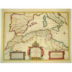
In Notitiam Ecclesiasticam Africae...
A finely engraved map of the northern coast of Africa and western Mediterranean sea, including southern Europe. The African portion of the work offers exceptional detail,...
Date: Amsterdam, ca. 1727
Selling price: ????
Please login to see price!
Sold
Statuum Marocca Norum.
Large and very graphic map by the preeminent German cartographer. The map itself is very detailed showing the domains of desert tribes by means of little tent cities. It ...
Date: Nuremberg 1728
Selling price: ????
Please login to see price!
Sold
Habillemens des Arabes & des Juifs qui sont au Caire avec..
An interesting sheet from Volume Six of Chatelain's Atlas Historique containing a description of "The dress of the Arabs and Jews residing in Cairo with part of thei...
Date: Amsterdam 1728
Selling price: ????
Please login to see price!
Sold
Statuum Marocca Norum.
Large and very graphic map by the prominent German cartographer. The map itself is very detailed showing the domains of desert tribes by means of little tent cities. It e...
Date: Nuremberg, 1728
Selling price: ????
Please login to see price!
Sold





![Bitedulgerid & Zaara. 1692 [Sahara]](/uploads/cache/82891-250x250.jpg)





![Canary, Azores+Cape Verde Islands. -ARCHIPELAGUS ATLANTICUS, CUM SUIS INSULIS CANARIIS, HESPERIDIBUS [CAPE VERDE] ET AZORIBUS.](/uploads/cache/85216-250x250.jpg)
