Browse Listings in Africa > North Africa
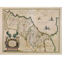
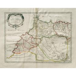
Fezzae et Marocchi regna Africae celeberrima.
North to the right. A finely engraved, decorative map, who influenced subsequent maps for the rest of the century.
Date: Amsterdam 1638
Selling price: ????
Please login to see price!
Sold
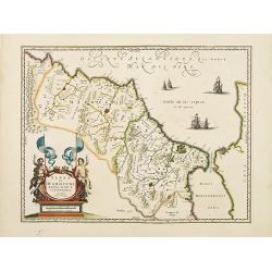
Fezzae et Marocchi regna Africae celeberrima.
North to the right. A finely engraved, decorative map, who influenced subsequent maps for the rest of the century.
Date: Amsterdam, 1638
Selling price: ????
Please login to see price!
Sold in 2009
Fezzae et Marocchi regna Africae celeberrima.
North to the right. A finely engraved, decorative map, who influenced subsequent maps for the rest of the century.As Willem Blaeu died in 1638 most of his maps are actual...
Date: Amsterdam, 1638
Selling price: ????
Please login to see price!
Sold in 2016
Fezzae et Marocchi regna Africae celeberrima.
North to the right. Showing the Atlas Mountains in the south to the southern coast of Spain, along the coast at Ceuta, Tangiers, and Arzilla.A finely engraved, decorative...
Date: Amsterdam, 1638
Selling price: ????
Please login to see price!
Sold in 2015
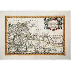
Nova Barbariae Descriptio
Fantastic and highly decorative map of North Africa covers from Morocco to the Nile delta, and large parts of the Mediterranean from Portugal to Cyprus. Africa is filled ...
Date: Amsterdam, ca. 1638
Selling price: ????
Please login to see price!
Sold in 2016
Fezzae et Marocchi regna Africae celeberrima.
A finely engraved, decorative map of Fez and Morocco by Blaeu, who cartography greatly influenced subsequent maps for the rest of the century. North is orientated to the ...
Date: Amsterdam, 1638
Selling price: ????
Please login to see price!
Sold in 2017
Fezzae et Marocchi Regna Africae Celeberrima.
A fine and detailed map of Morocco showing the large fortified towns of Marakesh, Taradante and Fez. A large decorative cartouche depicts two Centaurs holding flags, and ...
Date: Amsterdam, 1638
Selling price: ????
Please login to see price!
Sold in 2019
Fezzae et Marocchi regna Africae celeberrima.
An attractive map of northwest Africa and Morocco. The Pillars of Hercules & Straits of Gibraltar, and Spain are shown to the right of the map (north is to the right ...
Date: Amsterdam, 1638
Selling price: ????
Please login to see price!
Sold in 2018
Fezzae et Marocchi regna Africae celeberrima.
An attractive map of northwest Africa and Morocco. The Pillars of Hercules & Straits of Gibraltar, and Spain are shown to the right of the map (north is to the right ...
Date: Amsterdam, 1640
Selling price: ????
Please login to see price!
Sold
Fezzae et Marocchi regna Africae celeberrima
Old colored map of Morocco by W. Blaeu. With the Strait of Gibraltar, several sailing ships and a large figural cartouche. The map is based on Ortelius map of 1570. From ...
Date: Amsterdam, 1640
Selling price: ????
Please login to see price!
Sold in 2009
Fezzae et Marocchi Regna Africae Celeberrima, describebat Arab. Ortelius.
A detailed map of Morocco, oriented with north on the right. Showss Morocco, the Kingdom of Fez, the Atlas Mountains, and the coast of Spain. The Strait of Gibraltar is a...
Date: Amsterdam, ca. 1640
Selling price: ????
Please login to see price!
Sold in 2019
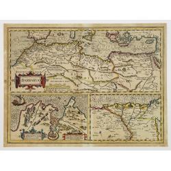
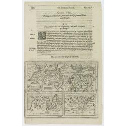
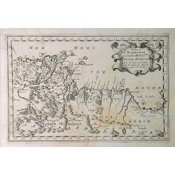
Barbaria./ Egypt/ Tunesia.
Three maps on one sheet. Upper part, it shows the coast of Barbaria from Morocco to Egypt: the map on the left corner of Tunis includes a plan of Goletiae, and the right ...
Date: Amsterdam, 1641
Selling price: ????
Please login to see price!
Sold in 2015
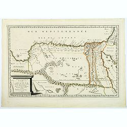
Aegypti Libiae Marmaricae Et Cyrenaicae Tractus Maritimus.
Rare early map of north-east Africa. Morisot (1592-1661) was one of the great intellectuals of his time and his works enjoyed great success. The European expeditions to t...
Date: Dijon, 1643
Selling price: ????
Please login to see price!
Sold in 2011
MAURITANIAE
Rare early map of north-west Africa, showing Algeria and Morocco, and parts of Spain. Only places on the coast, and a few rivers are named. Embellished with a large decor...
Date: Dijon, 1643
Selling price: ????
Please login to see price!
Sold in 2013
BARBARIA.
Charming map of the whole of North Africa and the famed Barbary coast. Two large insets at bottom, Carthaginensis Sinus with the city of Tunis, and a map of the Nile Delt...
Date: Amsterdam 1639-1644
Selling price: ????
Please login to see price!
Sold
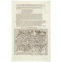
Barbaria / Egypt / Tunesia.
Samuel Purchas' edition of the Mercator/Hondius "Atlas Minor". Northern Africa published in his famous collection of voyages "His Pilgrimes". With des...
Date: London 1645
Selling price: ????
Please login to see price!
Sold
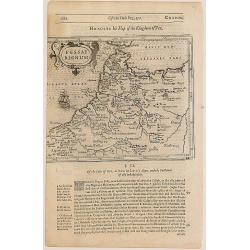
Fessae regnum.
The rare Samuel Purchas' edition of the Mercator/Hondius Atlas Minor atlas map. Early map of Morocco published in his famous collection of voyages His Pilgrimes . With de...
Date: London, 1645
Selling price: ????
Please login to see price!
Sold
Marocchi Regnum.
Samuel Purchas' edition of the Mercator/Hondius "Atlas Minor". Early map of Morocco published in his famous collection of voyages "His Pilgrimes". Wit...
Date: London, 1645
Selling price: ????
Please login to see price!
Sold in 2020
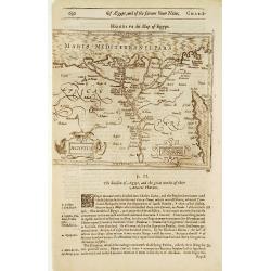
Aegyptus.
Samuel Purchas' edition of the Mercator/Hondius "Atlas Minor". Early map of the Nile delta with swash lettering and title cartouche with strapwork surrounds, pu...
Date: London 1645
Selling price: ????
Please login to see price!
Sold in 2011
Barbaria / Egypt / Tunesia.
An illustrated page with three maps describing the coastal region in Northern Africa extending from Egypt to the Atlantic Ocean.The lower right map is of the Nile delta.T...
Date: London, 1645
Selling price: ????
Please login to see price!
Sold in 2020
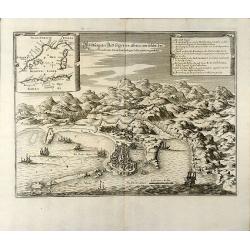
Abbildung der Statt Gigeri in affrica, wie solche der König in Franckreich durch den Hertzogen de Beaufort eingenohmen
Attractive engraving of the Jijel (Djidjelli) in North-west Algeria from Matthaus Merian. Showing the city with several ships and the Atlas Mountains in background. With ...
Date: Frankfurt, 1646
Selling price: ????
Please login to see price!
Sold in 2009
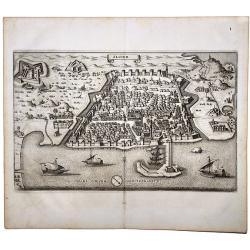
Algier
Attractive birdeye view of Algiers in Algeria from Matthäus Merian. Showing the city with city walls, outlying forts and several ships in the harbour. From J. Gottfried'...
Date: Frankfurt, 1646
Selling price: ????
Please login to see price!
Sold in 2009
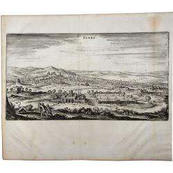
TUNIS.
A beautiful, antique town view of Tunisia, Tunis. Printed in Frankfurt by Merian in 1646. Including zoological and botanical gardens. From J. Gottfried's "Neuwe Arch...
Date: Frankfurt, 1646
Selling price: ????
Please login to see price!
Sold in 2021
ALGIER.
A beautiful, antique town view of Algiers, printed in Frankfurt by Merian in 1646. An attractive birds-eye view of Algiers in Algeria showing the city with its walls, out...
Date: Frankfurt, 1646
Selling price: ????
Please login to see price!
Sold in 2020
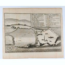
Abris der Vestung Tripoli in Barbarien.
Interesting engraving of the fort of Tripoli in Libya from Matthäus Merian. Showing details of the fort with an 29 key indexMatthäus Merian the Elder was born September...
Date: Frankfurt, 1646
Selling price: ????
Please login to see price!
Sold in 2020
Nova Aegypti Tabula.
With an ornate cartouche and two surveyors supporting the mileage scale.
Date: Amsterdam, 1650
Selling price: ????
Please login to see price!
Sold in 2011
Nova Aegypti Tabula.
With an ornate cartouche and two surveyors supporting the mileage scale.
Date: Amsterdam, 1650
Selling price: ????
Please login to see price!
Sold in 2008
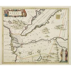
Nova Aegypti Tabula.
Beautiful map of northern Egypt and the Red Sea. With an ornate cartouche and two surveyors supporting the mileage scale. Top right a coat of arms emblazoned with three v...
Date: Amsterdam, 1650
Selling price: ????
Please login to see price!
Sold in 2015
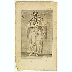
Femme moresque de Tripoly en Barbarie. (61)
Sought-after copper engraved plate of a woman with child from Tripoli. Plate from Laonikos Chalcocondyle’s "L'histoire de la décadence de l'empire grec et establi...
Date: Paris, Mathieu Guillemot, 1650
Selling price: ????
Please login to see price!
Sold in 2021
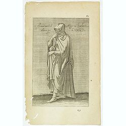
Femme More d'Ager en Barbarie ammant par la Ville. (62)
Sought-after copper engraved plate of a woman from Algeria. Plate from Laonikos Chalcocondyle’s "L'histoire de la décadence de l'empire grec et establissement de ...
Date: Paris, Mathieu Guillemot, 1650
Selling price: ????
Please login to see price!
Sold in 2023
(Chorographia orginis Nili juxta obervationem Odardi Lopez Fol 55. [together with] Chorographia Originis Nili... ex Arabum Geographis deprobpta. Fol. 53 [and] Vera et ...
(Chorographia orginis Nili juxta obervationem Odardi Lopez Fol 55. [together with] Chorographia Originis Nili... ex Arabum Geographis deprobpta. Fol. 53 [and] Vera et Gen...
Date: Amsterdam, 1652
Selling price: ????
Please login to see price!
Sold in 2015
Partie de Barbarie ou Sont les Royaumes de Tunis et Tripoli. . .
A coastal map of Tunisia and Libya prepared by N.Sanson and published by Pierre Mariette. Published in an early edition of the small Sanson atlas L'Europe Dediée a Monse...
Date: Paris, 1652
Selling price: ????
Please login to see price!
Sold in 2019
ROYAUME de MAROC divise en sept-Provinces &c.
A very fine, old color, decorative map of Morocco, first published by Nicholas Sanson in 1654. The map is based in part on the maps in the atlas of Livio Sanuto.
Date: Paris 1654
Selling price: ????
Please login to see price!
Sold in 2019
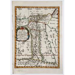
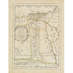
EGYPTE divisee en ses DOUZE CASSILIFS, ou GOUVERNEMENS.
A very fine, detailed map of Egypt, first issued by Nicolas Sanson in 1654. Extends from the Red Sea and Israel to the Nile River Valley.
Date: Paris 1654
Selling price: ????
Please login to see price!
Sold in 2019
Partie de la Coste de Barbarie en Africque..
Decorative map of northern part of Africa with Tunisia and Libya, including Malta.Engraved by Joannes Somer. A first state with address A Paris chez Pierre Mariette en la...
Date: Paris 1655
Selling price: ????
Please login to see price!
Sold
Estats et Royaumes de Fez et Maroc, Darha et Segelmesse.
A striking map of today's Morocco and Algeria that includes the southern tip of Spain and the Strait of Gibraltar. Decorated by a large title cartouche.Nicolas Sanson (16...
Date: Paris, 1655
Selling price: ????
Please login to see price!
Sold in 2014
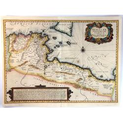
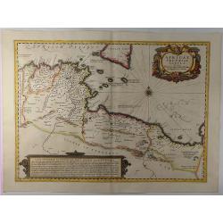
Africae Propriae Tabula. In Qua, Punica Regna Vides, Tyrios, et Agenoris Urbem
A fine decorative map of the coasts of present day Tunisia and Libya, with southern Sicily and Malta. It has a fancy title cartouche, a detailed compass rose, and a large...
Date: Amsterdam, ca.1655
Selling price: ????
Please login to see price!
Sold in 2016
Royaume et Desert de Barca et L'Egypte. . .
A striking map of Egypt and the eastern parts of Libya by Nicholas Sanson, "the founder of French cartography" (Tooley). The map extent is from Sidon in the Hol...
Date: Paris, 1655
Selling price: ????
Please login to see price!
Sold in 2018
Estats et Royaumes de Fez et Maroc, Darha et Seglmesse.
A decorative map of Morocco with illustrated topography and many towns and villages. Beautifully engraved title cartouche. Extends into Algeria with good detail of rivers...
Date: Paris, 1655
Selling price: ????
Please login to see price!
Sold in 2019
Africae Propriae Tabula. . .
A fine example of Jansson's map of Sicily and North Africa. Decorative map showing the North African coast (Tunisia), Malta and its neighbouring islands, and a part of S...
Date: Amsterdam, 1657
Selling price: ????
Please login to see price!
Sold in 2019
PARTIE DU BILEDULGERID ou sont TESSET, DARHA et SEGELMESSE &c.
A very fine decorative map of Morocco and the Canary Islands. In upper left hand corner decorative title cartouche. Engraved by A.de Winter.
Date: Paris 1657
Selling price: ????
Please login to see price!
Sold in 2019
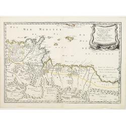
Partie de BARBARIE ou Sont les ROYAUMES de TUNIS et TRIPOLI.
Very decorative map of part of the Mediterranean Coastlines o Tunisia and Libya, first published by Nicholas Sanson in 1657.
Date: Paris, 1657
Selling price: ????
Please login to see price!
Sold in 2019
De Kust van Barbarien. . . / De Reede voor de Stadt Angra. . . / De Eylanden van Madera. . . / De Vlaamsche Eylanden By Jacob Colom. . . /
Rare of the Canaries. Lower right pagination number 35. Unusually large scale chart. Eight charts on one sheet, with on verso Dutch text and two wood cut profiles of Mar...
Date: Amsterdam, 1658
Selling price: ????
Please login to see price!
Sold in 2018
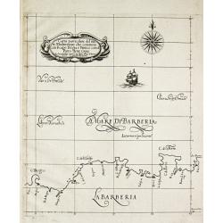
Carta particolare del mare Mediterraneo che comincia con il capo Bogia è Finisce con il porto de tre Croce.
Robert Dudley (1574-1649). English geographer. His rare atlas 'Arcano del Mare' was the first English sea-atlas, the first with charts -all in Mercator-projection- of the...
Date: Florence, 1661
Selling price: ????
Please login to see price!
Sold in 2009
Africae Antiquae, et quarundam Europae Asiaeque Adiacentium Regionum, accurata delineatio, ad Historiarum lucem edita a Nicolao Blancardo, Batavo, Leidensi, Historiarum et Politices Professore.
Historical map of the Northern part of Africa dedicated to Nikolaas Blankaart (1624-1703). Published in a Latin text edition of J. Janssonius' Historical Atlas from 1662.
Date: Amsterdam, 1662
Selling price: ????
Please login to see price!
Sold in 2011
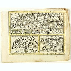
La Barbarie et l'Egypte.
Scarce map of the African coastline of the Mediterranean, with two inset maps Egypt and Carthage published by Antoine de Fer in 1661 or 1662 in "Cartes de géographi...
Date: Paris, Antoine de Fer, 1657 but 1661 or 1662
Selling price: ????
Please login to see price!
Sold in 2020
Le Royaume de Fez. (11).
Scarce map of the kingdom of Fes in Morocco published by Antoine de Fer in 1661 or 1662 in "Cartes de géographie revues et augmentées". With Antoine de Fer's ...
Date: Paris, Antoine de Fer, 1657 but 1661 or 1662
Selling price: ????
Please login to see price!
Sold in 2020
Le Royaume de Maroc. (12).
Scarce map of Morocco published by Antoine de Fer in 1661 or 1662 in "Cartes de géographie revues et augmentées". With number 12 in lower right bottom of the ...
Date: Paris, Antoine de Fer, 1657 but 1661 or 1662
Selling price: ????
Please login to see price!
Sold in 2020
Aegyptus Antiqua Divisa in Nomos Authore P. Duval. . .
A decorative map of ancient Egypt oriented with West at the top. Very detailed map, showing the Nile River, Red Sea, Pyramids, and much more information. Also shows sever...
Date: Amsterdam, ca. 1662
Selling price: ????
Please login to see price!
Sold in 2018
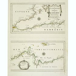
Les Costes Des Royaumes de Fez, Alger, Tunis et Tripoli en Barbarie suivant les Routiers et Portolans de divers Pilotes . . .
Two Uncommon maps on one sheet of the Mediterranean Sea with the coast of North Africa with the kingdoms of Tunis and Tripoli. Including the southeastern coast of Spain w...
Date: Paris, 1664
Selling price: ????
Please login to see price!
Sold in 2020
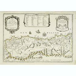
Carte du Royaume d'Alger . . .
Uncommon map of the Algerian coast, with fine title and scale cartouches in the top.
Date: Paris, 1665
Selling price: ????
Please login to see price!
Sold
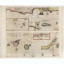
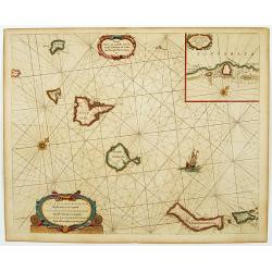
Caarte voor.. Canarise Eylanden als Canaria, Tenerifa..
Very rare chart of the Canaries. Showing Palma, Ferro, Tenerife, Gran Canary, Forte Ventura, Lancelot. In upper right hand corner inset of harbor of Lancerota.Pieter Goos...
Date: Amsterdam, 1666
Selling price: ????
Please login to see price!
Sold in 2017
Royaume de Maroc. . .
Map of Morocco prepared by N.Sanson and published by Pierre Mariette.Published in an early edition of the small Sanson atlas L'Europe Dediée a Monseigneur . . . Le Telli...
Date: Paris, P. Mariette, 1667
Selling price: ????
Please login to see price!
Sold in 2012
Egypte divisée en ses douze cassilifs, ou gouvermens. . .
Map of Egypt prepared by N.Sanson and published by Pierre Mariette.Published in an early edition of the small Sanson atlas L'Europe Dediée a Monseigneur . . . Le Tellier...
Date: Paris, P. Mariette, 1667
Selling price: ????
Please login to see price!
Sold in 2013
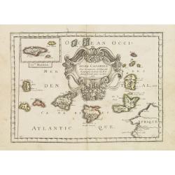
Isles Canaries. . .
Map of Canary Islands prepared by N.Sanson and published by Pierre Mariette.Published in an early edition of the small Sanson atlas L'Europe Dediée a Monseigneur . . . L...
Date: Paris, P. Mariette, 1667
Selling price: ????
Please login to see price!
Sold in 2011
Le Royaume de Marroc.
Rare map of Morocco published by Jollain in 1667. Published in "Trésor Des Cartes Geographiques Des Principaux Estats de Lunivers". This atlas is based upon B...
Date: Paris, 1667
Selling price: ????
Please login to see price!
Sold in 2016
Le Royaume de Fez.
Rare map of a part of Morocco published by Jollain in 1667. Published in "Trésor Des Cartes Geographiques Des Principaux Estats de Lunivers". This atlas is ba...
Date: Paris, 1667
Selling price: ????
Please login to see price!
Sold in 2020
Barbarie.
Rare map of the Barbary Coast of Africa, published by Jollain in 1667. Published in "Trésor Des Cartes Geographiques Des Principaux Estats de Lunivers". This ...
Date: Paris, 1667
Selling price: ????
Please login to see price!
Sold in 2019
Fezzae et Marocchi Regna Africae Celeberrima.
A lovely example of John Ogilby's map of Fez and Morocco in north Africa, published in London during the second half of the 17th century. North is orientated to the left,...
Date: London, 1670
Selling price: ????
Please login to see price!
Sold in 2020
Figure de la seconde Pyramide.
An early print of a pyramid published from 1672 onwards in "Relations de Divers Voyages Curieux" by the French geographer, Melchisédech Thévenot. Thévenot's ...
Date: Paris, 1672
Selling price: ????
Please login to see price!
Sold in 2016
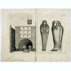
Plan de Caves des mummies.
An early print of mummies in Cairo published from 1672 onwards in "Relations de Divers Voyages Curieux" by the French geographer, Melchisédech Thévenot. Thév...
Date: Paris, 1672
Selling price: ????
Please login to see price!
Sold in 2015
Fezzae et Marochi.
Decorative map of Morocco based on Blaeu's map of the same title. It is oriented with north on the right and includes the Strait of Gibraltar. The sea is filled with seve...
Date: Amsterdam, 1673
Selling price: ????
Please login to see price!
Sold in 2015
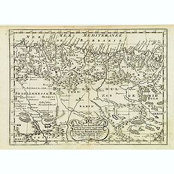
Barbaria, Biledulgerid, Libye et pars Nigritarum terra.
A map from Olfert Dapper's Africa. It depicts Algeria, Tunesia and western Libya. Embellished with a very decorative cartouche.
Date: Amsterdam, 1673
Selling price: ????
Please login to see price!
Sold in 2020
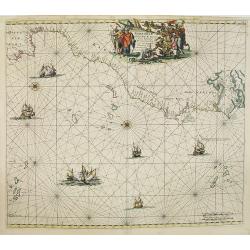
Barbariae et Guineae Maritimi. . .
A highly decorative sea chart of the northwest coast of Africa, including from Spain, across the Straits of Gibraltar to Gambia. The various islands groups in the Atlant...
Date: Amsterdam, 1675
Selling price: ????
Please login to see price!
Sold in 2008
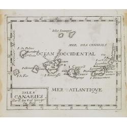
Isles Canaries.
Uncommon miniature map of Canary Islands from Pierre Duval's La Geographie Universeille dated 1676. Following his Cartes de geographie in 1657, Pierre Duval published thi...
Date: Paris, 1676
Selling price: ????
Please login to see price!
Sold in 2008
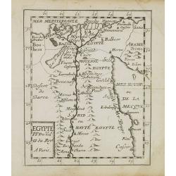
Egypte.
Uncommon miniature map of Egypt, from Pierre Duval's La Geographie Universeille dated 1676. Following his Cartes de geographie in 1657, Pierre Duval published this smalle...
Date: Paris, 1676
Selling price: ????
Please login to see price!
Sold in 2010
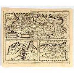
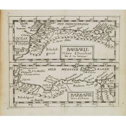
Barbarie vers L'Occident/Barbarie Vers L'Orient.
Two uncommon miniature maps of the western and eastern African coast from Morocco till Egypt from Pierre Duval's La Geographie Universeille dated 1676. Following his Cart...
Date: Paris, 1676
Selling price: ????
Please login to see price!
Sold in 2009
Aphrodisium.
A very nice view of the city. On the foreground, a man leading three donkeys is depicted. With a verse in two languages underneath the picture.The poet Daniel Meisner fro...
Date: Frankfurt 1623-1678
Selling price: ????
Please login to see price!
Sold
Azaamurum.
A very nice view of the town of Azemmour in Morocco. With a verse in two languages underneath the picture.The poet and topographer from Comothau, Daniel Meisner (1585-162...
Date: Frankfurt, 1623-1678
Selling price: ????
Please login to see price!
Sold in 2017
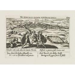
Tunis in Africa.
View of the town of Tunis. With a verse in two languages underneath the picture.The poet Daniel Meisner from Komotau started his Thesaurus Philo-Politicus. Das ist Politi...
Date: Frankfurt, 1623-1678
Selling price: ????
Please login to see price!
Sold in 2011
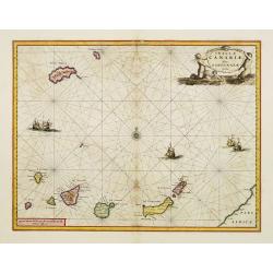
Insulae Canariae Alias Fortunatae dictae.
A well engraved and highly detailed chart including the Canary islands.
Date: Amsterdam, 1680
Selling price: ????
Please login to see price!
Sold
Gedeelte van Barbaryen, Waar in Legt 't Ryk van Algiers. . .
An attractive miniature map of North Africa prepared by N. Sanson. Engraved by A.de Winter.
Date: Amsterdam, Utrecht, F.Halma, 1680
Selling price: ????
Please login to see price!
Sold in 2022
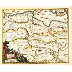
[Libya] Nieuwe Pascaart voor een Gedeelte van de Zeekusten Van BARBARIA. Beginnende Van C. Mesurata Tot Caap Rusato Als Meede de West-kust van CANDIA. . .
A beautiful, old colored example of Van Keulen's chart of the coast of Barbaria, from Cape Rusato to Cape Mesurata, from his 'De Nieuwe Groote Lichtende Zee-Fackel, part ...
Date: Amsterdam, ca 1680
Selling price: ????
Please login to see price!
Sold in 2019
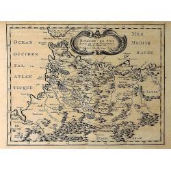
Royaume de Fez Divise en Sept Provinces. . .
A striking map of Morocco and part of present-day Algeria in Northern Africa. Mountain ranges, forests and notable buildings have been included. Title in an ornate cartou...
Date: Paris, 1683
Selling price: ????
Please login to see price!
Sold in 2021
ROYAUME DE FEZ divise en Sept Provinces.
A striking map of Morocco and part of present-day Algeria in Northern Africa. Mountain ranges, forests and notable buildings have been included. Title in an ornate cartou...
Date: Paris 1683
Selling price: ????
Please login to see price!
Sold in 2019
Egypte Ancienne. . .
A charming map of ancient Egypt with a colorful title architectural cartouche.German title in curtain draped at top. No text on verso.From the German text edition publish...
Date: Frankfurt, 1684
Selling price: ????
Please login to see price!
Sold in 2008
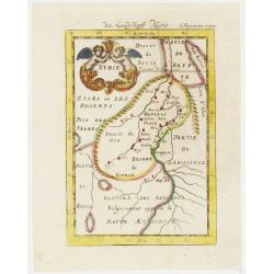
Nubie . . .
A charming map of Nubia which was considered part of the Abyssinian Empire referred to as upper Ethiopia with a colorful title cartouche of two putties holding a burst of...
Date: Frankfurt, 1684
Selling price: ????
Please login to see price!
Sold in 2012
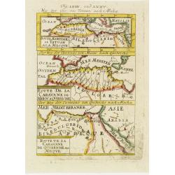
Derr weg der carovane von Maroc nach Mecha et nach Quibriche . .
A charming map of the Route to Mecca from Africa to the Middle East divided into three horizontal detailed route maps with the names of colored towns and coastlines. The ...
Date: Frankfurt, 1684
Selling price: ????
Please login to see price!
Sold in 2008
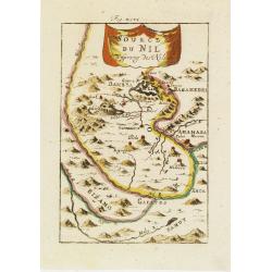
Source du Nil. . .
A charming map of the source of the river Nile. The river are colored along with a colorful title banner.German title in curtain draped at top. No text on verso.From the ...
Date: Frankfurt, 1684
Selling price: ????
Please login to see price!
Sold in 2011
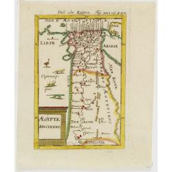
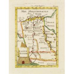
Egypte Moderne. . .
A charming map of Egypt with colored borders and a colorful title cartouche of a stone pyramidal structure in construction.German title in curtain draped at top. No text ...
Date: Frankfurt, 1684
Selling price: ????
Please login to see price!
Sold in 2011









![(Chorographia orginis Nili juxta obervationem Odardi Lopez Fol 55. [together with] Chorographia Originis Nili... ex Arabum Geographis deprobpta. Fol. 53 [and] Vera et ...](/uploads/cache/36419-250x250.jpg)













![[Libya] Nieuwe Pascaart voor een Gedeelte van de Zeekusten Van BARBARIA. Beginnende Van C. Mesurata Tot Caap Rusato Als Meede de West-kust van CANDIA. . .](/uploads/cache/83177-250x250.jpg)
