Browse Listings in Africa > Central Africa > East coast
Kenya Colony
A 1948 map of the Kenya Colony, published by the Directorate of Colonial Surveys, printed by the War Office.
Date: London, 1948
Selling price: ????
Please login to see price!
Sold in 2017
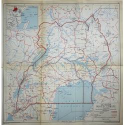
Uganda Protectorate
A 1948 map of Uganda under the British Protectorate, published by the Directorate of Colonial Surveys, and printed by the War Office.
Date: London, 1948
Selling price: ????
Please login to see price!
Sold in 2017
Nyasaland Protectorate
Nyasaland Protectorate published by the Directorate of Colonial Surveys, and printed by the War Office in 1948.
Date: London, 1948
Selling price: ????
Please login to see price!
Sold in 2017
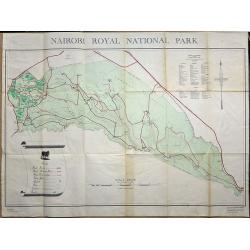
Nairobi Royal National Park.
A large plan of Nairobi National Park, first edition September 1956. A key shows the physical make up of the park plus a list of Mammals and Reptiles found in the park.
Date: Nairobi, 1956
Selling price: ????
Please login to see price!
Sold in 2019


