Browse Listings in Africa
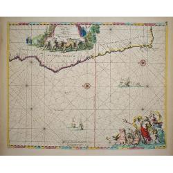
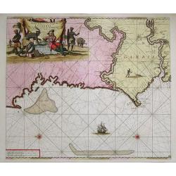
Cimbebas et Caffariae Littora a Catenbela ad Promontorium..
The coast of Angola, South-West Africa and South Africa up to Port Elizabeth. Classic sea chart of Dutch school with excellent baroque embellishment. North oriented to th...
Date: Amsterdam, 1675
Selling price: ????
Please login to see price!
Sold in 2010
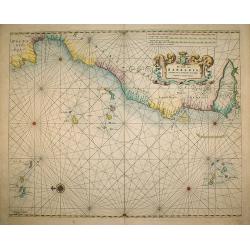
A chart of the Seacoasts from the landsend of England to Cape Bonna Esperanca.
This rare "slave-trade" sea chart depicts the West coast of Africa from Egypt along to the Cape of Good Hope. In upper right corner scales in English, French, D...
Date: London, 1675
Selling price: ????
Please login to see price!
Sold in 2009
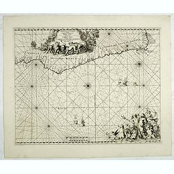
Cimbebas et Caffariae Littora a Catenbela ad Promontorium. . .
The coast of Angola, South-West Africa and South Africa up to Port Elizabeth. Classic sea of Dutch school with excellent baroque embellishment. North oriented to the lef...
Date: Amsterdam, 1675
Selling price: ????
Please login to see price!
Sold in 2014
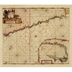
Tractus Littorales Guineae a Promontorio Verde. . .
The West coast of Africa from Mauritania up to Angola. Classic sea of Dutch school with excellent baroque embellishment. In top center a very decorative title cartouche.
Date: Amsterdam, 1675
Selling price: ????
Please login to see price!
Sold in 2014
Zanguebar.
Uncommon miniature map of East Africa including Northern tip of Madagascar, from Pierre Duval's La Geographie Universeille. Following his Cartes de geographie in 1657, Pi...
Date: Paris, 1676
Selling price: ????
Please login to see price!
Sold in 2008
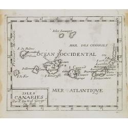
Isles Canaries.
Uncommon miniature map of Canary Islands from Pierre Duval's La Geographie Universeille dated 1676. Following his Cartes de geographie in 1657, Pierre Duval published thi...
Date: Paris, 1676
Selling price: ????
Please login to see price!
Sold in 2008
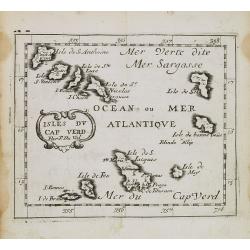
Isles du Cap Verd.
Uncommon miniature map of Cape Verde Islands from Pierre Duval's La Geographie Universeille dated 1676. Following his Cartes de geographie in 1657, Pierre Duval published...
Date: Paris, 1676
Selling price: ????
Please login to see price!
Sold in 2008
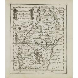
Abissinie ou Haute Ethiopie.
Uncommon miniature map of Ethiopia from Pierre Duval's La Geographie Universeille dated 1676. Following his Cartes de geographie in 1657, Pierre Duval published this smal...
Date: Paris, 1676
Selling price: ????
Please login to see price!
Sold in 2008
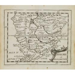
Cafrerie et Monomotapa.
Uncommon miniature map of South Africa from Pierre Duval's "La Geographie Universeille" dated 1676. Following his Cartes de geographie in 1657, Pierre Duval pub...
Date: Paris, 1676
Selling price: ????
Please login to see price!
Sold in 2008
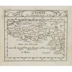
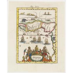
Guinee.
Uncommon miniature map of Guinea and Africa's Gold coast from Pierre Duval's La Geographie Universeille dated 1676. Following his Cartes de geographie in 1657, Pierre Duv...
Date: Paris, 1676
Selling price: ????
Please login to see price!
Sold in 2009
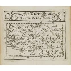
Nigritie.
Uncommon miniature map of Guinea and Africa's Gold Coast, from Pierre Duval's La Geographie Universeille dated 1676. Following his Cartes de geographie in 1657, Pierre Du...
Date: Paris, 1676
Selling price: ????
Please login to see price!
Sold in 2009
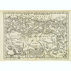
Le Biledulgerid ou Numidie et le Zaara autrement le Desert.
Uncommon miniature map of Sahara Dessert and Algeria, from Pierre Duval's La Geographie Universeille dated 1676. Following his Cartes de geographie in 1657, Pierre Duval ...
Date: Paris, 1676
Selling price: ????
Please login to see price!
Sold in 2009
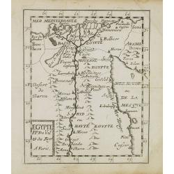
Egypte.
Uncommon miniature map of Egypt, from Pierre Duval's La Geographie Universeille dated 1676. Following his Cartes de geographie in 1657, Pierre Duval published this smalle...
Date: Paris, 1676
Selling price: ????
Please login to see price!
Sold in 2010
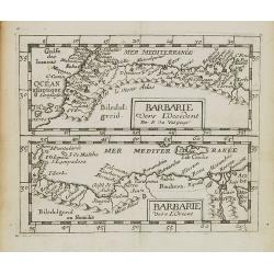
Barbarie vers L'Occident/Barbarie Vers L'Orient.
Two uncommon miniature maps of the western and eastern African coast from Morocco till Egypt from Pierre Duval's La Geographie Universeille dated 1676. Following his Cart...
Date: Paris, 1676
Selling price: ????
Please login to see price!
Sold in 2009
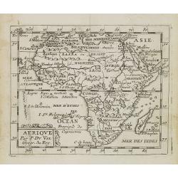
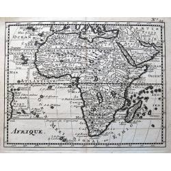
Afrique.
Uncommon miniature map of Africa from Pierre Duval's La Geographie Universeille dated 1676. Following his Cartes de geographie in 1657, Pierre Duval published this smalle...
Date: Paris, 1676
Selling price: ????
Please login to see price!
Sold in 2008
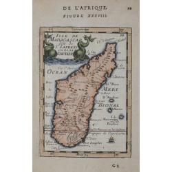
Isle de Madagascar dite de St.Laurens et aujourd'hui Isle Dauphine.
Uncommon miniature map of Madagascar from Pierre Duval's La Geographie Universeille dated 1676. Following his Cartes de geographie in 1657, Pierre Duval published this sm...
Date: Paris, 1676
Selling price: ????
Please login to see price!
Sold in 2008
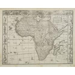
Africae, Described. The manners of their Habits and buildings newly done into English?
A third state of the first English map of the continent of Africa. From the first world atlas produced in England, Speed\'s map of the whole continent is a typically deco...
Date: London, 1627 -1676
Selling price: ????
Please login to see price!
Sold in 2009
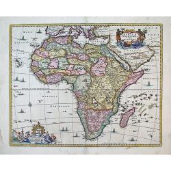
Africae Accurata Tabula
This map captures the European view of Africa in the late 1600s.The map is filled with numerous fictitious towns, rivers, and mountains and continues to reflect the Ptole...
Date: Amsterdam, (c.1658) c. 1677
Selling price: ????
Please login to see price!
Sold in 2013
Aphrodisium.
A very nice view of the city. On the foreground, a man leading three donkeys is depicted. With a verse in two languages underneath the picture.The poet Daniel Meisner fro...
Date: Frankfurt 1623-1678
Selling price: ????
Please login to see price!
Sold
Azaamurum.
A very nice view of the town of Azemmour in Morocco. With a verse in two languages underneath the picture.The poet and topographer from Comothau, Daniel Meisner (1585-162...
Date: Frankfurt, 1623-1678
Selling price: ????
Please login to see price!
Sold in 2017
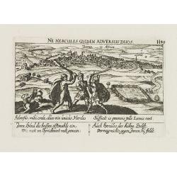
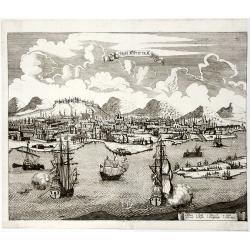
Tunis in Africa.
View of the town of Tunis. With a verse in two languages underneath the picture.The poet Daniel Meisner from Komotau started his Thesaurus Philo-Politicus. Das ist Politi...
Date: Frankfurt, 1623-1678
Selling price: ????
Please login to see price!
Sold in 2011
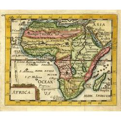
Africa.
Nice miniature map of Africa.
Date: Paris 1679
Selling price: ????
Please login to see price!
Sold
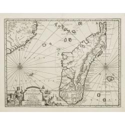
Insula Madagascar dicta St. Laurens.
Handsome miniature map of Madagascar and surrounding islands.Pierre Duval was Nicolas Sanson's nephew and pupil. He published a wide range of atlases and individual maps ...
Date: Nuremberg, 1679
Selling price: ????
Please login to see price!
Sold
Guinee en de omliggende Landen.
A map of the lands along the Gulf of Guinea.
Date: Utrecht, 1680
Selling price: ????
Please login to see price!
Sold in 2022
Insula S.Laurentii vulgo Madagascar.
Showing in great detail the island of Madagascar. In upper left hand corner part of Mozambique.
Date: Amsterdam, 1680
Selling price: ????
Please login to see price!
Sold
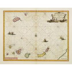
Insulae Canariae Alias Fortunatae dictae.
A well engraved and highly detailed chart including the Canary islands.
Date: Amsterdam, 1680
Selling price: ????
Please login to see price!
Sold
Nigritarum regnum.
Rare and beautiful map of the West coast of Africa with a dedication to Otto Schwerin of Brandenburg. The signature reads Apud Heredes Joannis Janssonii Only a small numb...
Date: Amsterdam, 1680
Selling price: ????
Please login to see price!
Sold in 2010
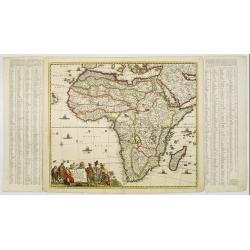
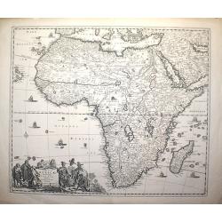
Totius Africae Accuratissima Tabula authore Frederico de Wit
Date: Amsterdam, c. 1680
Selling price: ????
Please login to see price!
Sold in 2008
Totius Africae . . .
The detail of the map includes the traditional depiction of Central Africa with the river Nile rising in two large central Lakes Zaire and Zaflan.
Date: Amsterdam, 1680
Selling price: ????
Please login to see price!
Sold in 2011
Gedeelte van Barbaryen, Waar in Legt 't Ryk van Algiers. . .
An attractive miniature map of North Africa prepared by N. Sanson. Engraved by A.de Winter.
Date: Amsterdam, Utrecht, F.Halma, 1680
Selling price: ????
Please login to see price!
Sold in 2022
Afrique.
Interesting map of Africa, which includes also Arabia and a small part of the coast of Brazil. With two large lakes below the equator, and a rich river system connecting ...
Date: Paris, ca. 1680
Selling price: ????
Please login to see price!
Sold in 2014
Cape of Good Hope Manuscript Landgrant, 1680.
A one-sheet 1680 Cape of Good Hope landgrant, in favour of Hans Calmbach(?), who had been a Corporal in the service of the VOC Company. Also mentions a Jacomina and Hend...
Date: Cape of Good Hope, 1680
Selling price: ????
Please login to see price!
Sold in 2015
Totius AFRICAE Accuratissima Tabula.
The map became the standard for subsequent maps of Africa, and was reissued with minor changes over the next 30 years. The map is very detailed with a comprehensive netwo...
Date: Amsterdam, 1680
Selling price: ????
Please login to see price!
Sold in 2018
Pascaert vande Bocht van Benin..
Uncommon chart showing the coast of Nigeria from Accra (Ghana) till Douala in Cameroon.
Date: Amsterdam, 1680
Selling price: ????
Please login to see price!
Sold in 2016
AFRIQUE.
Decorative, engraved map of Africa that includes Arabia and the Canary and Cape Verde Islands as well as several other Atlantic islands and the coastline of Brazil. Also ...
Date: Paris, ca. 1680
Selling price: ????
Please login to see price!
Sold in 2019
[Libya] Nieuwe Pascaart voor een Gedeelte van de Zeekusten Van BARBARIA. Beginnende Van C. Mesurata Tot Caap Rusato Als Meede de West-kust van CANDIA. . .
A beautiful, old colored example of Van Keulen's chart of the coast of Barbaria, from Cape Rusato to Cape Mesurata, from his 'De Nieuwe Groote Lichtende Zee-Fackel, part ...
Date: Amsterdam, ca 1680
Selling price: ????
Please login to see price!
Sold in 2019
AFRICA.
A copperplate map of Africa from Sir Jonas Moore's "New System of Mathematics" published in London, and printed by A. Godbid and J. Playford, for Robert Scott i...
Date: London, 1681
Selling price: ????
Please login to see price!
Sold in 2019
ZANGUEBAR / MONOMOTAPA.
Lovely double miniature maps of Zanzibare and Monomotapa. Todays' Zanzibar in east Africa and Cape of Good Hope in South Africa.
Date: London, 1681
Selling price: ????
Please login to see price!
Sold in 2019
Nieuwe Paskaert, van de Kust van Genehoa als Mede een Gedeelte van Gambia, Beginnende an C. Blanco tot C. Verde…
This sea chart covers the western coast of Africa from Cape Blanco (Ras Nouadhibou) to Cape Verde. The chart depicts the interior course of both the Gambia and Casamance ...
Date: Amsterdam, ca.1681
Selling price: ????
Please login to see price!
Sold in 2023
Caerte vande Cabo de Bona Esperança / En haer gelegentheyt daer omtrent.
Rare first state, 1682, showing the first land grants, with J.N. in the cartouche. An early Dutch map of the Cape of Good Hope map which first appeared in Johan Nieuhoff\...
Date: Amsterdam, 1682
Selling price: ????
Please login to see price!
Sold in 2008
De cust van Barbaria
A sea chart depicting the west coast of Africa.Doncker ran a flourishing business in Amsterdam as a bookseller and publisher of sea atlases and textbooks on navigation. D...
Date: Amsterdam, 1682
Selling price: ????
Please login to see price!
Sold in 2010
Paskaert Vertoonende van Cambebas en Caffaria streckende van Monte Negro tot Beooste Cabo de Bona Esperanca.
Extremely rare sea chart of the south west coast of Africa, south till Cape of Good Hope. With inset chart of Tafel Bay.
Date: Amsterdam 1683
Selling price: ????
Please login to see price!
Sold
ISLE D' HORN
A charming late 17th century French view of Cape of Good Hope.
Date: Paris 1683
Selling price: ????
Please login to see price!
Sold
Isle de Madagascar dite de St Laurens ou L'isle Daufine.
Copper engraved map shows the Island of Madagascar. from Mallet's "Description de l'Univers" 1st edition. Blank verso.
Date: Paris 1683
Selling price: ????
Please login to see price!
Sold in 2014
(Nine engravings of African interest from Description de l'Univers)
Nine (on seven sheets) of finely etched prints and maps of African subjects. Engravings and maps entitled - Cap de bone Esperance/Isle de St. Helene, Egypte Ancienne, Con...
Date: Paris, 1683
Selling price: ????
Please login to see price!
Sold in 2015
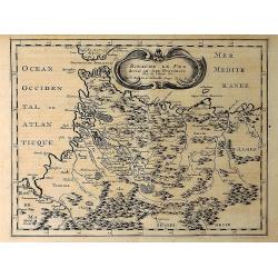
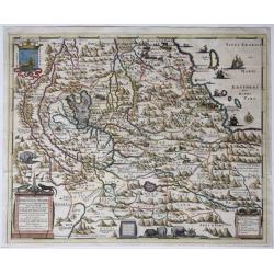
Royaume de Fez Divise en Sept Provinces. . .
A striking map of Morocco and part of present-day Algeria in Northern Africa. Mountain ranges, forests and notable buildings have been included. Title in an ornate cartou...
Date: Paris, 1683
Selling price: ????
Please login to see price!
Sold in 2021
ROYAUME DE FEZ divise en Sept Provinces.
A striking map of Morocco and part of present-day Algeria in Northern Africa. Mountain ranges, forests and notable buildings have been included. Title in an ornate cartou...
Date: Paris 1683
Selling price: ????
Please login to see price!
Sold in 2019
Habessinia Seu Abassia.
A map of Ethiopia and the Eritrean coast, originating from an Ethiopian manuscript. Full title: 'Habessinia Seu Abassia Presbyteri Johannis Regio Perperam Dicta Ad Exemp...
Date: Amsterdam, 1683
Selling price: ????
Please login to see price!
Sold in 2022
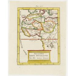
Ancienne Libye Interieure. . .
A charming map of the inland part of Libya with a colorful architectural title cartouche.German title in curtain draped at top. No text on verso.From the German text edit...
Date: Frankfurt, 1684
Selling price: ????
Please login to see price!
Sold in 2012
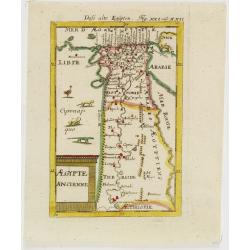
Egypte Ancienne. . .
A charming map of ancient Egypt with a colorful title architectural cartouche.German title in curtain draped at top. No text on verso.From the German text edition publish...
Date: Frankfurt, 1684
Selling price: ????
Please login to see price!
Sold in 2008
Guinee . . .
A charming map of Guinee with hand painted borderlines and a colorful ornamental title cartouche of two male figures , one holding a parrot, the other a spear that are su...
Date: Frankfurt, 1684
Selling price: ????
Please login to see price!
Sold in 2008
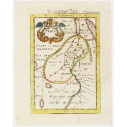
Nubie . . .
A charming map of Nubia which was considered part of the Abyssinian Empire referred to as upper Ethiopia with a colorful title cartouche of two putties holding a burst of...
Date: Frankfurt, 1684
Selling price: ????
Please login to see price!
Sold in 2012
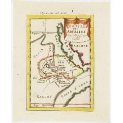
Empire des Abyssins. . .
A charming map of he Abyssinian Empire referred to as Nubia with a colorful title banner.German title in curtain draped at top. No text on verso.From the German text edit...
Date: Frankfurt, 1684
Selling price: ????
Please login to see price!
Sold in 2012
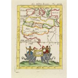
Zaara le Desert . . .
A charming map of the northwestern part of Africa with colored borderlines and a beautiful colorful title banner upheld by two male figures seated on two elephants, one h...
Date: Frankfurt, 1684
Selling price: ????
Please login to see price!
Sold in 2008
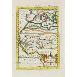
Pays des negres. . .
A charming map of western Africa with colored borderlines and scale in addition to a colorful ornamental title cartouche in lower right corner.German title in curtain dra...
Date: Frankfurt, 1684
Selling price: ????
Please login to see price!
Sold in 2008
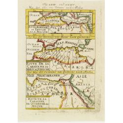
Derr weg der carovane von Maroc nach Mecha et nach Quibriche . .
A charming map of the Route to Mecca from Africa to the Middle East divided into three horizontal detailed route maps with the names of colored towns and coastlines. The ...
Date: Frankfurt, 1684
Selling price: ????
Please login to see price!
Sold in 2008
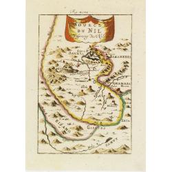
Source du Nil. . .
A charming map of the source of the river Nile. The river are colored along with a colorful title banner.German title in curtain draped at top. No text on verso.From the ...
Date: Frankfurt, 1684
Selling price: ????
Please login to see price!
Sold in 2011
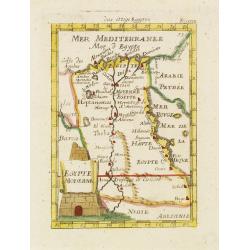
Egypte Moderne. . .
A charming map of Egypt with colored borders and a colorful title cartouche of a stone pyramidal structure in construction.German title in curtain draped at top. No text ...
Date: Frankfurt, 1684
Selling price: ????
Please login to see price!
Sold in 2011
L'Empire du Cherif de Fez Maroc Sud & C. . .
A charming map of Morocco with colored coastlines and a beautiful colorful title cartouche.German title in curtain draped at top. No text on verso.From the German text ed...
Date: Frankfurt, 1684
Selling price: ????
Please login to see price!
Sold in 2008
I. Goree [Ialoffes Royaume]
A charming map featuring a bird's eye view of Island of Goree with hills, dwellings and trees on the island, four ships at sea heading towards the island, and coastal Ara...
Date: Franckfurt, 1684
Selling price: ????
Please login to see price!
Sold in 2008
Isle de Zocotora [Die Insel Zocotora]
A charming map featuring a bird's eye view of Socotra with hills, dwellings and trees on the island, two naval battles with cannons firing at sea, and coastal Arabia and ...
Date: Frankfurt, 1684
Selling price: ????
Please login to see price!
Sold in 2008
Afrique Moderne.
A charming late 17th century French map of Africa. From the German text edition published by Davis Zunners. Allain Manneson Mallet (1630-1706), a well traveled military e...
Date: Frankfurt, 1684
Selling price: ????
Please login to see price!
Sold in 2008
Nieuwe Paskaert, Van de Kust Van Genehoa als Medeen gedeelte van Gambia, beginnende an C. Blanco tot C. Verde, Met al syn diep ten end droogten, dus Ver Naeukeurig op gestelt.
Nice chart, showing the coast of Africa, from Cabo Blanco till Cabo Verde (Dakar) and Gambia River. The Dutch firm and printing house van Keulen was one of the most impor...
Date: Amsterdam, 1684
Selling price: ????
Please login to see price!
Sold in 2009
GUINEE das Land - Guiena.
Beautifully handcolored engraving issued as part of a suite of plates produced for the German text edition of Allain Manesson Mallet’s Description de l’Univers …. P...
Date: Frankfurt, 1684
Selling price: ????
Please login to see price!
Sold in 2015
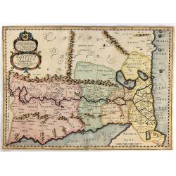
Aegyptus Antiqua Divisa in Nomos.
A map of ancient Egypt that is oriented with West at the top of the page. Sourced from a map by Pierre Duval and published in a Dutch text edition of J. Jansson's histori...
Date: Amsterdam, 1684
Selling price: ????
Please login to see price!
Sold in 2018
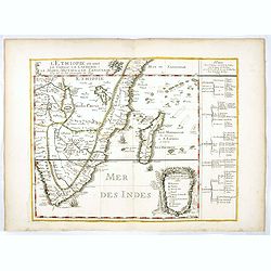
L'Ethiopieoù sont le Congo, La Cafrerie, Le Mono-Montapa et le Zanguebar.
Scarce map of the Southern part of Africa, including Madagascar, etc. Published by Pierre Du Val, who was "geographe de Roy.". Engraved by R. Michault.Part of a...
Date: Paris, 1684
Selling price: ????
Please login to see price!
Sold
Aegyptus Antiqua Divisa in Nomos
A fine map of ancient Egypt oriented with west at the top of the page. Compiled and drawn by Pierre Duval for Jansson's historical atlas. No text on verso. The map featur...
Date: Amsterdam, 1684
Selling price: ????
Please login to see price!
Sold in 2016
Die Statt Alkeir in Aegypten (Cairo).
A copper engraved view of Caire from Johann Christoph WAGNER's " Delineatio provinciarum Pannoniae et imperii Turcici in oriente. Eine grundrichtige Beschreibung de�...
Date: Augsburg, ca 1684
Selling price: ????
Please login to see price!
Sold in 2020
Africae Accurata Tabula ex officina Ioan: De Ram.
A copper engraved map. Overall size 52 x 61 cm.A rare map of the African continent by Johannes de Ram (1648-1693), after de Wit's map of 1660 without the side panels but ...
Date: Amsterdam, ca. 1685
Selling price: ????
Please login to see price!
Sold in 2016
Totius Africae Accuratissima Tabula.
A striking, skilfully engraved, and highly decorative map of the whole continent of Africa, including the island of Madagascar. Much of the information on the map is imag...
Date: Amsterdam, 1685
Selling price: ????
Please login to see price!
Sold in 2018
Mediterranean Sea divided into its Principall Parts of Seas
This marvelous very rare map depicts the Mediterranean Sea including its entire coastline, and much of the Ottoman Empire as it was in the late 17th century.The map is de...
Date: London, 1685
Selling price: ????
Please login to see price!
Sold in 2023
The city of Loango from Dapper.
Copper engraved page view of Loango from Olfert Dapper. The view shows the city of Loango capital of the kingdom of the same name which lay in what is now the Republic of...
Date: Amsterdam, 1686
Selling price: ????
Please login to see price!
Sold in 2019
Insulae Canariae alias Fortunatae
A 17th century copper-engraved map (nautical chart) of the Canary Islands and Madeira, from a French edition of Olfert Dapper's ´Naukeurige Beschrijvinge der Afrikaensch...
Date: Amsterdam, 1686
Selling price: ????
Please login to see price!
Sold in 2023
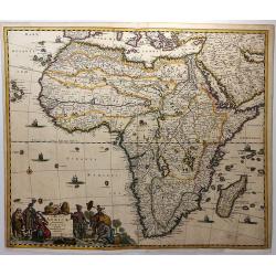
[ Africa]
Charming wood block map of Africa by the Italian XVIth and XVIIth century writer, humanist and cartographer Giuseppe Rosaccio. Taken from the 1688 Bologna "Teatro de...
Date: Bologna, Antonio Pisarri, 1594 - 1688
Selling price: ????
Please login to see price!
Sold in 2014
L'Africa...
Giacomo Rossi's fine late 17th century map of Africa. Issued in Il Mercurio geografico In upper right corner a tittle cartouche. The cartographer was Giacomo Cantelli da ...
Date: Rome, 1677-1688
Selling price: ????
Please login to see price!
Sold in 2018
AUSLANDISCHEN NATIONEN. Von Happel THESAURUS EXOTIROCUM (Congo, Numidien, Madagascar)
Five woodcuts taken from 'Thesaurus Exoticorum'.
Date: Hamburg, 1688
Selling price: ????
Please login to see price!
Sold in 2020
AFRIQVE | selon les Relations les plus Nouvelles | Dressée et Dediée | Par le P. Coronelli Cosmographe de la Sere- | nissime Republique de VENISE . | A Monseigneur le Duc de BRISS
This is an important transitional map of Africa. This map is not regularly found in atlases, but is usually found as a separate map. This map almost completely omits th...
Date: Paris, 1689
Selling price: ????
Please login to see price!
Sold in 2012
Totius Africae Accuratissima Tabula.
The cartouche is a colorful one with people in varied costumes: Moors, Black Africans, children, and a mounted elephant.Map is framed but can be removed from the frame fo...
Date: Amsterdam, ca. 1690
Selling price: ????
Please login to see price!
Sold
Africa Vetus.
A fine map of the African continent.Nicolas Sanson was to bring about the rise of French cartography, although the fierce competition of the Dutch would last until the en...
Date: Paris 1690
Selling price: ????
Please login to see price!
Sold
Totius Africae Accuratissima Tabula.
A handsome copy of this skillfully engraved, highly decorative map, including the island of Madagascar. The title cartouche shows native people among which a tribal chief...
Date: Amsterdam, 1690
Selling price: ????
Please login to see price!
Sold













![[Libya] Nieuwe Pascaart voor een Gedeelte van de Zeekusten Van BARBARIA. Beginnende Van C. Mesurata Tot Caap Rusato Als Meede de West-kust van CANDIA. . .](/uploads/cache/83177-250x250.jpg)






![I. Goree [Ialoffes Royaume]](/uploads/cache/25317-250x250.jpg)
![Isle de Zocotora [Die Insel Zocotora]](/uploads/cache/25316-250x250.jpg)






![[ Africa]](/uploads/cache/30317-250x250.jpg)


