Browse Listings in Africa
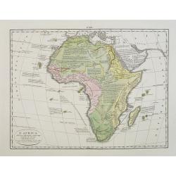
L'Africa. . .
A rare double-page map of the African continent. According to the title cartouche, prepared by A de La Sage for l'Atlante Storico, Letterario, Biografico, Archeologico. ....
Date: Venice, 1840
Selling price: ????
Please login to see price!
Sold in 2009
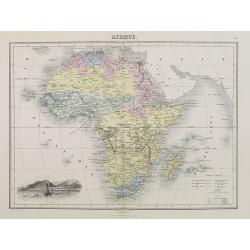
Afrique.
Finely engraved map of Africa prepared by A.H.Dufour and engraved by Giraldon-Bovinet. Published by Jules Renouard in his uncommon atlas "Le globe Atlas classique Un...
Date: Paris, Jules Renouard, ca.1840
Selling price: ????
Please login to see price!
Sold in 2011
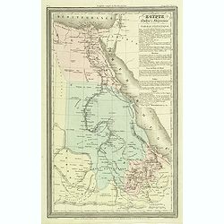
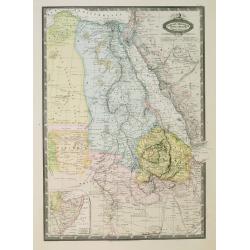
Egypte Nubie et Abyssinie.
Finely engraved map of Egypt prepared by A.H.Dufour and engraved by Giraldon-Bovinet. Published by Jules Renouard in his uncommon atlas "Le globe Atlas classique Uni...
Date: Paris, Jules Renouard, ca.1840
Selling price: ????
Please login to see price!
Sold in 2012
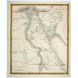
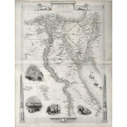
Egypt.
A nice, large scale map of Egypt, published by Longman & Co. toward the middle of the 19th century. Unsurprisingly, most of the cartographic detail centers around the...
Date: London, 1840
Selling price: ????
Please login to see price!
Sold in 2021
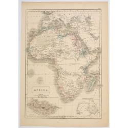
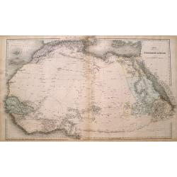
Africa.
Sidney Hall's general map of the continent of Africa, published during the first half of the 19th century by A & C Black in Edinburgh. The map features two inset maps...
Date: Edinburgh, ca 1840
Selling price: ????
Please login to see price!
Sold in 2023
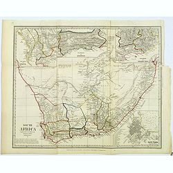
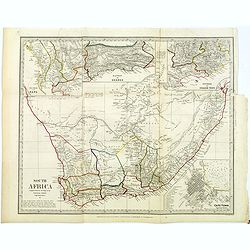
Cape of Good Hope.
This map is possibly one of the most important maps of the region, published as it was during the Great Trek. The Great Trek was a movement of Dutch-speaking colonists up...
Date: London, 1842
Selling price: ????
Please login to see price!
Sold in 2019
Ile Bourbon - Vue de la rade et de St. Denis. . .
Very rare lithography representing a view of Saint-Denis de la Réunion. Plate N° 5.From Souvenirs d\'un voyage dans l\'Inde, exécuté de 1834 à 1839, by A. Delessert....
Date: Paris, 1843
Selling price: ????
Please login to see price!
Sold in 2009
Cafres / Autruches
Two engraving for one sheet. Engraving depict typical warriors of Africa and Ostrich.
Date: Paris,1844
Selling price: ????
Please login to see price!
Sold in 2015
Afrique.
Detailed map of Africa, prepared by Charles V. Monin (fl.1830-1880) a French cartographer of Caen and Paris. Published in Atlas Universel de Géographie Ancienne &c M...
Date: Paris, 1845
Selling price: ????
Please login to see price!
Sold in 2022
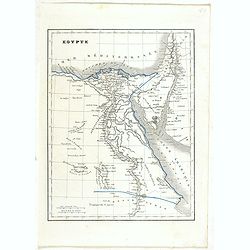
Egypte.
Detailed map of Egypt, prepared by Charles V. Monin (fl.1830-1880) a French cartographer of Caen and Paris. Published in Atlas Universel de Géographie Ancienne &c Mo...
Date: Paris, 1845
Selling price: ????
Please login to see price!
Sold in 2022
Afrique Meridionale.
Detailed map of the Southern part of Africa, including Madagascar and close islands, prepared by Charles V. Monin (fl.1830-1880) a French cartographer of Caen and Paris. ...
Date: Paris, 1845
Selling price: ????
Please login to see price!
Sold in 2022
Empire et Marches D'Alexandrie.
Detailed map of Egypt, part of Arabia, prepared by Charles V. Monin (fl.1830-1880) a French cartographer of Caen and Paris. Published in Atlas Universel de Géographie An...
Date: Paris, 1845
Selling price: ????
Please login to see price!
Sold in 2023
Egypte Nubie et Abyssinie..
Decorative map of Egypt and the Red Sea, prepared by J.G.Barbié du Bocage.Engraved by Ch.Smith, published by Basset who was established in Paris, rue de Seine 33. From a...
Date: Paris, 1846
Selling price: ????
Please login to see price!
Sold
Carte de l'Algérie, dressée Au Dépôt Général de La Guerre sous la direction de M. le Lieut.t Général Pelet
Date: Paris, 1846
Selling price: ????
Please login to see price!
Sold in 2008
Africa, North Part.
A pair of maps of northern and southern Africa on one sheet, from “Black's General Atlas”, published by A. & C. Black in Edinburgh in 1846. A pair of precisely de...
Date: Edinburgh, 1846
Selling price: ????
Please login to see price!
Sold in 2017
Carte de la Province de Constantine, dressée Au Dépôt Général de La Guerre sous la direction de M. le Lieutenant Général Pelet
Date: Paris, 1847
Selling price: ????
Please login to see price!
Sold in 2008
Karta öfver Africa.
An very rare map of Africa with Swedish text. This is an heavenly updated version of his map of 1818 and is now dated 1828.In lower part a color key to Portuguese, Spanis...
Date: A. Wiborgs förlag, Stockholm, ca. 1848
Selling price: ????
Please login to see price!
Sold in 2017
Impero di Marocco
Very attractive and scarce map of Morocco by Benedetto Marzolla, a cartographer from Naples. Marzolla prints extensive notes with his maps, listing his cartographic sourc...
Date: Naples, 1848
Selling price: ????
Please login to see price!
Sold in 2017
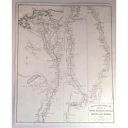
Map to Illustrate the Sketches of David Roberts, Esq. in Egypt and Nubia, 1849.
An original lithograph for the subscription edition of David Robert's “Egypt and Nubia”, published by F.G. Moon & Son, London, 1846-49.Tripartite map of the Nile ...
Date: London, 1849
Selling price: ????
Please login to see price!
Sold in 2017
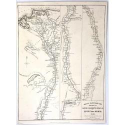
Map to Illustrate the Sketches of David Roberts, Esq: R.A. in Egypt and Nubia
An original lithograph map for the subscription edition of David Robert's “Egypt and Nubia”, published in London by F.G. Moon & Son in 1846. It is a tripartite ma...
Date: London, 1849
Selling price: ????
Please login to see price!
Sold in 2016
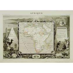
Afrique.
A very decorative 19th century map showing Africa. The map is surrounded by portraits, animals, vegetation, etc.. Includes also three views of Alexandria, Cairo and Alger...
Date: Paris 1850
Selling price: ????
Please login to see price!
Sold
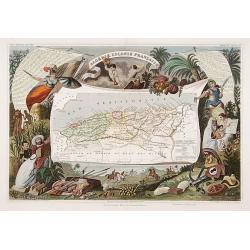
Algerie Colonie Française.
A very decorative 19th century map of Algeria. The map is surrounded by horses, products of the country, natives, etc.
Date: Paris 1850
Selling price: ????
Please login to see price!
Sold
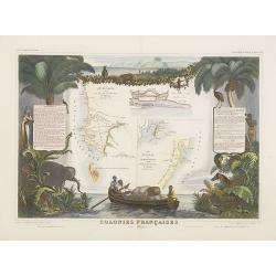
Colonies Françaises (en Afrique).
A very decorative 19th century map of western coast of Africa and includes a map of the coast of Madagascar. The map is surrounded by portraits, animals, vegetation, etc....
Date: Paris, 1850
Selling price: ????
Please login to see price!
Sold in 2018
Afrique.
A decorative 19th century map of the continent colored to show the colonial possessions and major tribal kingdoms. The interior is mostly void of detail. The map is surro...
Date: Paris 1850
Selling price: ????
Please login to see price!
Sold
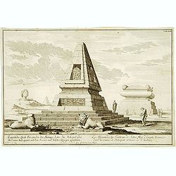
Les Pyramides du tombeau de Sotis?
Imaginary view.
Date: France c.1850
Selling price: ????
Please login to see price!
Sold
Afrique
Classic Levasseur treatment; smaller map (8" x 9") embedded in very elaborate engraved scenes about the people, animals and plants of the subject region. Small ...
Date: Paris, 1850
Selling price: ????
Please login to see price!
Sold
Hottentot Vrouw.
Decorative, hand colored, woodcut engraving illustrating a woman from the South African Hottentots tribe.
Date: Amsterdam, ca. 1850
Selling price: ????
Please login to see price!
Sold in 2011
Hottentot.
Decorative, hand colored, woodcut engraving illustrating a warrior from the South African Hottentots tribe.
Date: Amsterdam, ca. 1850
Selling price: ????
Please login to see price!
Sold in 2011
Afrique.
A decorative 19th century map of the continent colored to show the colonial possessions and major tribal kingdoms. The interior is mostly void of detail. The map is surro...
Date: Paris, 1850
Selling price: ????
Please login to see price!
Sold in 2008
Afrique Septentrionale.
A uncommon map of northern part of Africa with nice detail to the different borders and depiction of the "Zahara ou Grand désert".
Date: Paris, 1850
Selling price: ????
Please login to see price!
Sold in 2009
Afrique. Physique et division. Etudes 33 et 35.
Map of Africa. With an empty central Africa " Pays entievement inconnu aux Européens".
Date: Paris, c.1850
Selling price: ????
Please login to see price!
Sold in 2010
Madagascar marchais Malais.
Steel engraving depicting a typical market scene on Madagascar. From "Extrait de voyage autour du monde et naufrages celebres".
Date: Paris, c.1850
Selling price: ????
Please login to see price!
Sold in 2016
Northern Africa.
Large and detailed map Northern Africa. Shows several routes through the Sahara desert including place names and oasis. However large parts are left blank. An excellent u...
Date: London, ca. 1850
Selling price: ????
Please login to see price!
Sold in 2016
'EGYPT AND ARABIA PETRAEA'
A highly decorative and detailed mid-19th century map of Egypt with large vignettes of the Mosque of the Sultan Hassan, Alexandria, Ruins of the Great Temple Karnac, Grea...
Date: London 1851
Selling price: ????
Please login to see price!
Sold in 2016
Cape Colony.
The five vignettes show: Cape Town, Graham's Town, the entrance to the Knysna, native people and a lion.
Date: London, Edinburgh, Dublin, 1851
Selling price: ????
Please login to see price!
Sold in 2019
Natal and Kaffraria.
Tallis' map of Natal and Kaffraria, with vignettes of Port Natal and Durban atlas. This map was printed from a steel engraving by John Rifkin for Tallis’s The Illustrat...
Date: London, 1851
Selling price: ????
Please login to see price!
Sold in 2020
Cape Colony.
A detailed map of the "Cape Colony" of South Africa. It is surrounded by a decorative borders and included vignettes depicting the entrance to the Knysna, Graha...
Date: London, 1851
Selling price: ????
Please login to see price!
Sold in 2020
[Untitled Map of Africa]
Fine manuscript map of Africa with relief shown pictorially. Signed by the author in the lower right corner.Lower left Décembre 1852.
Date: Paris, 1852
Selling price: ????
Please login to see price!
Sold
Colonies Françaises (en Afrique). N°91.
Handsome map divided into two sections shows a section of the coast of French West Africa titled 'Senegambie' (Senegal & Gambia) with a drawing of the Senegal River a...
Date: Paris, A. Combette, 1852
Selling price: ????
Please login to see price!
Sold in 2009
Carte D'Une Portion de L'Abyssinie
Large, detailed, rare map of the coast of Abyssinia, Egypt, Ethiopia, Somalia and the Red Sea. The cartographers were M.M. Ferret and Galinier, the engraver was Henry Coo...
Date: Paris, 1852
Selling price: ????
Please login to see price!
Sold in 2013
Egypt, and Arabia Petraea
A highly decorative and detailed mid-19th century map of Egypt. Very detailed with many places named along the Nile river, and several Oasis shown, complete with vignette...
Date: London, ca 1852
Selling price: ????
Please login to see price!
Sold in 2016
Afrique/Publiee par Logerot.
Original map on steel drawn by A. R. Frémin, engraved by Ch. Dyonnet, published by Logerot.
Date: Paris, 1853
Selling price: ????
Please login to see price!
Sold in 2008
Britische colonien von Süd Africa.
Detailed steel engraved miniature map of South Africa, with inset of Cape Town. The map was prepared and engraved by Lieutenant L. Renner., who was a military officer, re...
Date: Hildburghausen / Amsterdam / Philadelphia, 1853
Selling price: ????
Please login to see price!
Sold in 2015
Cape Colony
This is the uncommon and slightly later edition by Rapkin based on Tallis' maps. The vignettes have been removed and the map is issued in black and white.With decorative ...
Date: London, 1855
Selling price: ????
Please login to see price!
Sold in 2008
Africa.
Map of Africa. From Sidney E. Morse''s: System of Geography for the use of schools , published by Harper and brothers, 329 Pearl Street, New York.An 150 years old map wit...
Date: New York, 1855
Selling price: ????
Please login to see price!
Sold in 2008
A Chart of the Cape Verde Islands, Drawn from the Latest Authorities by J.W. Norie, Hydrogrpher.
An original and striking, mariners chart of the Cape Verde Islands in the Atlantic Ocean, off the coast of Africa. It is by J. W. Norie one of the most important chart ma...
Date: London, 1855
Selling price: ????
Please login to see price!
Sold in 2018
South Africa.
A large map of South Africa with considerable detail; it includes modern day Botswana, Namibia and Mozambique.
Date: Edinburgh, 1856
Selling price: ????
Please login to see price!
Sold in 2018
South Africa.
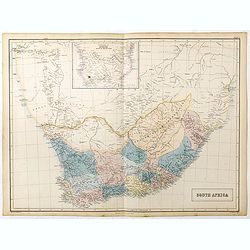
A large map of South Africa with considerable detail, it includes modern day Botswana, Namibia and Mozambique. Inset map at upper centerfold of 'Continuation of Africa so...
Date: Edinburgh, 1856
Selling price: ????
Please login to see price!
Sold in 2023
Percement de l'isthme de Suez. Atlas des cartes, plans, sondages, profils et forages à l'appuie du projet de la commission internationale. . .
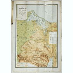
Atlas from the third series only illustrated with 12 plates, maps, plans, sections and elevations, most folding.Surveys carried out in 1855 and 1856 in the Suez Isthmus f...
Date: Paris, aux bureaux de L'Isthme de Suez, Henri Plon, 1856
Selling price: ????
Please login to see price!
Sold in 2020
Impero di Marocco.
An interesting and uncommon detailed and large-scale Italian map of Morocco. The Italian text below provides historical, political and commercial information. Published i...
Date: Naples, 1856
Selling price: ????
Please login to see price!
Sold in 2021
Western Africa.
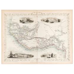
Original steel engraved map of Western Africa. Map accompanied by vignette scenes of Christiansborg, Cape Coast Castle, Sierra Leone and Bakel. Decorative scrolling and t...
Date: London & New York: John Tallis & Company, 1856
Selling price: ????
Please login to see price!
Sold in 2023
Africa Mappa d'Insieme.
Uncommon map of the African continent prepared by Francesco Costantino Marmocchi. Above the map "Geografia Commerciale". From "Il Globo Atlante di carte Ge...
Date: Genova, Paolo Rivara fu Giacomo, 1858
Selling price: ????
Please login to see price!
Sold in 2021
La Nubia E l'Abissinia . . .
Uncommon map of East coast of Africa with Sudan, Nubia and lower Nile, prepared by Francesco Costantino Marmocchi. Above the map "Geografia Commerciale". From &...
Date: Genova, Paolo Rivara fu Giacomo, 1858
Selling price: ????
Please login to see price!
Sold in 2021
Il Gran Deserto di Sahara . . .
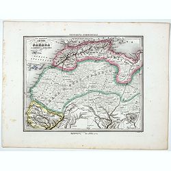
Uncommon map of the Sahara Dessert, Senegal, Morocco and Tunisia, prepared by Francesco Costantino Marmocchi. Above the map "Geografia Commerciale". From "...
Date: Genova, Paolo Rivara fu Giacomo, 1858
Selling price: ????
Please login to see price!
Sold in 2020
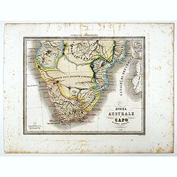
Africa Australe E Capo di buona Speranza.
Uncommon map of Southern Africa and islands prepared by Francesco Costantino Marmocchi. Above the map "Geografia Commerciale". From "Il Globo Atlante di ca...
Date: Genova, Paolo Rivara fu Giacomo, 1858
Selling price: ????
Please login to see price!
Sold in 2021
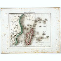
Madagascar e le Isole E le Coste Circonvicine Dell' Africa nel Mar Delle Indie.
Uncommon map of Madagascar, Seychelles, La Réunion and Mauritius and East Coast of Africa around Mozambique, prepared by Francesco Costantino Marmocchi. Above the map &q...
Date: Genova, Paolo Rivara fu Giacomo, 1858
Selling price: ????
Please login to see price!
Sold in 2022
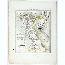
Egitto.
Uncommon map of Egypt prepared by Francesco Costantino Marmocchi. Above the map "Geografia Commerciale". From "Il Globo Atlante di carte Geografiche compil...
Date: Genova, Paolo Rivara fu Giacomo, 1858
Selling price: ????
Please login to see price!
Sold in 2021
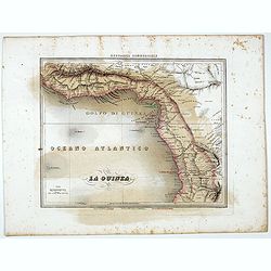
La Guinea.
Uncommon map of Guinea prepared by Francesco Costantino Marmocchi. Above the map "Geografia Commerciale". From "Il Globo Atlante di carte Geografiche compi...
Date: Genova, Paolo Rivara fu Giacomo, 1858
Selling price: ????
Please login to see price!
Sold in 2021
Afrique Orientale, L'Egypte, L'Abyssinie..Takbour Oriental.
Very detailed map from Atlas Spherodidal & Universel de geographie , Prepared by F.A.Garnier and edited by Jules Renouard, rue de Tournon, Paris. Uncommon map with de...
Date: Paris, 1860
Selling price: ????
Please login to see price!
Sold in 2008
Afrika.
Uncommon map of Africa. Lithography by J.H. van Weijer, published in Atlas der geheele Aarde [?] in 24 kaarten. With colored key to English, French, Dutch, Spanish, Port...
Date: Groningen, ca. 1860
Selling price: ????
Please login to see price!
Sold in 2008
Algérie d'après les cartes de L'état-major et les documents du Ministère de la Guerre
A map of Algeria.
Date: Paris, 1860
Selling price: ????
Please login to see price!
Sold in 2008
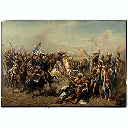
Lot of eleven chromolithographed plates showing Napoleon in Egypt.
Lot of 11 similar sheets with chromolithographed scene of "Battle of the Pyramids" after a painting of Antoine-Jean Gros.
Date: France, ca. 1860
Selling price: ????
Please login to see price!
Sold in 2018
South Africa.
An informative map of South Africa.
Date: London, ca 1860
Selling price: ????
Please login to see price!
Sold in 2018
South Africa.
An informative map of South Africa, when it was under British influence. The various districts are highlighted in different outline colors mountains, rivers, coastal town...
Date: London, ca 1860
Selling price: ????
Please login to see price!
Sold in 2022
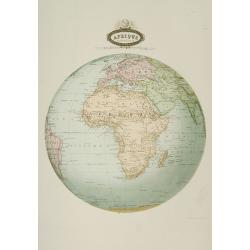
Afrique spheroidale..
Very detailed map from Atlas Spherodidal & Universel de géographie , Prepared by F.A.Garnier and edited by Jules Renouard, rue de Tournon, Paris. Uncommon map with d...
Date: Paris 1861
Selling price: ????
Please login to see price!
Sold
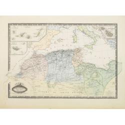
Afrique Septentrionale, Maroc, Algerie.. Canaries..Malte.
Very detailed map from Atlas Sphérodoïdal & Universel de géographie , Prepared by F.A.Garnier and edited by Jules Renouard, rue de Tournon, Paris. Uncommon map wit...
Date: Paris 1861
Selling price: ????
Please login to see price!
Sold
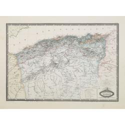
Afrique Francaise. Algerie.
Very detailed map from Atlas Sphérodoïdal & Universel de géographie , Prepared by F.A.Garnier and edited by Jules Renouard, rue de Tournon, Paris. Uncommon map wit...
Date: Paris 1861
Selling price: ????
Please login to see price!
Sold
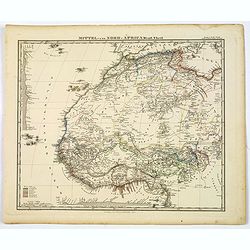
Mittel und Nord-Africa. Westl. Theil.
An informative and detailed map of middle, western and northern Africa, published in Gotha by Perthes in Stieler's Hand Atlas in 1863. It shows elevations, cities, tracks...
Date: Gotha, 1863
Selling price: ????
Please login to see price!
Sold in 2019
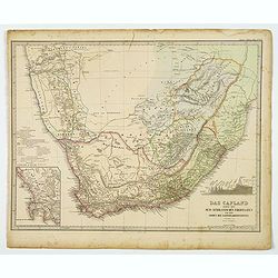
Das Capland nebst den Sud-Afrikanischen Freistaaten und dem gebeit der Kaffern & Hottentotten.
A detailed German map of South Africa, published during the second half of the 19th century. Coastal detail is very good with many place names, bays and points identified...
Date: Gotha, 1863
Selling price: ????
Please login to see price!
Sold in 2021
Afrika nach den neuesten Entdeckungen
A ''smaller'' Stieler map no 27, from his atlas for schools. About 8x10 inches. Unusual version as the cartouche is not in the usual circle upper right corner, but has be...
Date: Gotha/Perthes 1864
Selling price: ????
Please login to see price!
Sold
[Set of three maps] Africa.
The first map is large scale map of the continent of Africa by Edward Weller. Nicely colored with plenty of map detail.The second map of Africa is by A.K. Johnston,(600 x...
Date: London, ca. 1865
Selling price: ????
Please login to see price!
Sold in 2017
Plan du Port et du Mouillage de Suez..
A very detailed and historically important of the Suez bay showing a plan of the town Suez, and the entry of the Suez canal. The map is updated to August 1869, only a fe...
Date: Paris, 1869
Selling price: ????
Please login to see price!
Sold in 2012
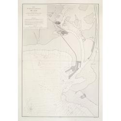
[2 sheets] Cartes du Canal de Suez.. 1ère Partie. De Port-Saïd a Kantara. 2ème Partie. De Kantara aux Lacs Amers./ 3ère Partie. De L'Entrée Nord Dans Les Lacs Amers A Suez.
A set of two detailed charts: The first and second part on one sheet illustrating 2 parts of the Suez Canal and its surroundings, from Port Said to Al Qantarah and from t...
Date: Paris, 1869
Selling price: ????
Please login to see price!
Sold in 2012
Province ou dèpt de Constantine.
Decorative map of one of the provinces in Algeria from "Géographie Universelle, Atlas Migeon." published by J. Migeon. Very nice engraving of the view of Const...
Date: Paris, 1874
Selling price: ????
Please login to see price!
Sold in 2017
Algérie
Decorative map of Algeria from Géographie Universelle, Atlas Migeon. published by J. Migeon. From one of the last decorative atlases published in the 19th century.
Date: Paris 1874
Selling price: ????
Please login to see price!
Sold
Tunis et Tripoli .. / Empire de Maroc. Par A.T.Chartier.
Decorative map of the cities of Tunis and Tripoli as well as the Maroc from Géographie Universelle, Atlas Migeon. published by J. Migeon. From one of the last decorative...
Date: Paris, 1874
Selling price: ????
Please login to see price!
Sold in 2015
Afrique.
A decorative map of Africa from Géographie Universelle, Atlas Migeon. With an engraving of Saint Helena Island lower left corner. Saint Helena is located in the South At...
Date: Paris, 1874
Selling price: ????
Please login to see price!
Sold
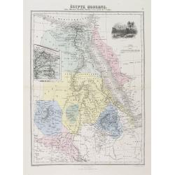
Egypte Moderne. Nubie, Abyssinie, Kordofan, Darfour, et une partie de l'Arabie.
A decorative map of Egypt from Géographie Universelle, Atlas Migeon. With an inset map of the Suez Canal center left and an engraving of Jerusalem upper right corner. Pu...
Date: Paris, 1874
Selling price: ????
Please login to see price!
Sold in 2011
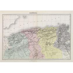
Algérie.
A decorative map of Algeria from Géographie Universelle, Atlas Migeon, published by J. Migeon.< br />From one of the last decorative atlases published in the 19th ...
Date: Paris, 1874
Selling price: ????
Please login to see price!
Sold
Empire de Maroc. / Tunis et Tripoli.
A decorative map of Morocco, with Tunis and Tripoli from Géographie Universelle, Atlas Migeon, published by J. Migeon.< br />From one of the last decorative atlase...
Date: Paris, 1874
Selling price: ????
Please login to see price!
Sold












![[Untitled Map of Africa]](/uploads/cache/23279-250x250.jpg)










![[Set of three maps] Africa.](/uploads/cache/39122-250x250.jpg)
![[2 sheets] Cartes du Canal de Suez.. 1ère Partie. De Port-Saïd a Kantara. 2ème Partie. De Kantara aux Lacs Amers./ 3ère Partie. De L'Entrée Nord Dans Les Lacs Amers A Suez.](/uploads/cache/23502-250x250.jpg)


