Browse Listings in Africa
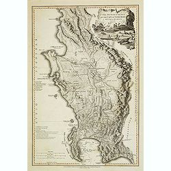
Carte générale de la colonie du Cap de Bonne Espérance.. Par John Barrow.
A very nice and rare map of the tip of South Africa, showing Cape of Good Hope. From Voyage dans la partie méridionale de l'Afrique: fait dans les années 1797 et 1798. ...
Date: France c.1801
Selling price: ????
Please login to see price!
Sold
L'Afrique divisée en ses principaux Etats et Royaumes.
Uncommon Italian map of Africa. Interestinngly the map has several pencil annotations in the map.
Date: Venise, 1802
Selling price: ????
Please login to see price!
Sold in 2008
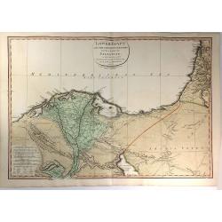
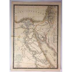
Lower Egypt and the Adjacent Deserts, with a part of Palestine; to which has been added the Nomenclature of the Roman age
A pleasing map featuring the site of Napoleon’s campaign in Egypt, Palestine, and Syria, (1798-1801). Detail is given to the network of roads, rivers, and canals criss-...
Date: London, 1802
Selling price: ????
Please login to see price!
Sold in 2020
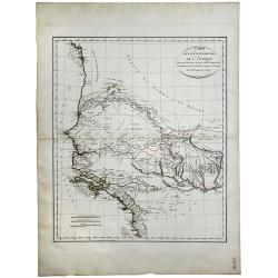
Carte de la Cote Ociidentale de l' Afrique.
A map showing the west Africa coasts, from Sierra Leone to Senegal and Gambia. Engraved by Tardieu. Shows all the up to then explored areas in the region.
Date: Paris, 1804
Selling price: ????
Please login to see price!
Sold in 2020
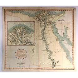
A new Map of Egypt From the Latest Authorities.
A striking example of this detailed map of Egypt, the Gulf of Suez, Red Sea and the Course of the Nile, with a large inset of the Nile Delta. Published by John Cary in Lo...
Date: London, 1805
Selling price: ????
Please login to see price!
Sold in 2017
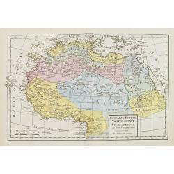
Barbarie, Egypte, Nigrite, Guinée, Nubie, Abissinie.
Map of Morocco, Tunisia, Libya, Egypt, Guinea, Nubia and Abyssinia. By C. F. Delamarche, successor of Robert de Vaugondy, Geographer.
Date: Paris, 1794 - 1806
Selling price: ????
Please login to see price!
Sold in 2009
L'Afrique.
Map of Africa. By C. F. Delamarche, successor of Robert de Vaugondy, Geographer.
Date: Paris, 1794 - 1806
Selling price: ????
Please login to see price!
Sold in 2008
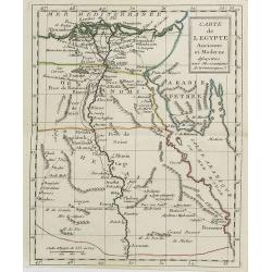
Carte de l'Egypte . . .
Map of Egypt, from Atlas moderne portatif composé de vingt-huit cartes sur toutes les parties du globe terrestre .. A l'usage des Colléges, des Pensions & des Maiso...
Date: Paris, Prudhomme, Levrault, Debray, 1806
Selling price: ????
Please login to see price!
Sold in 2011
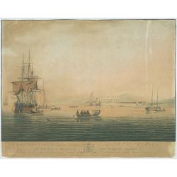
Cape Coast Castle, a British Settlement on the Gold Coast, Africa...
The image views Cape Coast Castle from the sea, it is positioned to the right of centre, a large ship is on the right with several smaller sailing ships, in the foregroun...
Date: G. Webster & J. Barrow, London Oct. 26th 1806
Selling price: ????
Please login to see price!
Sold in 2009
Africa, from the Best Authorities
“Africa, from the Best Authorities”. An attractive small map of the whole of Africa, engraved by James Barlow, with original hand coloring.Published by C. Brightly, a...
Date: Bungay, 1806
Selling price: ????
Please login to see price!
Sold in 2017
L'Afrique avec ses divisions geographiques, les colonies Europeennes. . .
Interesting map of Africa, bordered with geographical notes. color key to 5 travels by de la Vailland, Park, Browne, Hornmann and Bruce.
Date: Florence, 1806
Selling price: ????
Please login to see price!
Sold in 2020
Cape of Good Hope.
Aaron Arrowsmith (1750-1833) , London-based, prolific cartographer and publisher, Hydrographer to His Majesty (1820).Map of the colony of the Cape of Good Hope. The bound...
Date: London, 1807
Selling price: ????
Please login to see price!
Sold
Carte d'Afrique. Par J.B. Poirson. An 1809
Detailed map of Africa prepared by Jean-Baptiste POIRSON (1761-1831).
Date: Paris, J.B.P.Tardieu, c.1809
Selling price: ????
Please login to see price!
Sold in 2011
Carte d'Afrique. Par J.B. Poirson. An 1809
Detailed map of Africa prepared by Jean-Baptiste POIRSON (1761-1831).
Date: Paris, J.B.P.Tardieu, c.1809
Selling price: ????
Please login to see price!
Sold
Carte d'Afrique. Par J.B. Poirson. An 1809
A comprehensive and quite detailed map of Africa prepared by Jean-Baptiste Poirson (1761-1831). With plenty of good coastal detail, vast 'chunks' of the interior of the c...
Date: Paris, 1809
Selling price: ????
Please login to see price!
Sold in 2020
The Island & Forts of St. Helena.
Striking and extremely detailed map of St. Helena. Shows many individual buildings with their residents' last names. Including Farms, Napoleon Bonapartes Residence, an Al...
Date: England ?, c.1810
Selling price: ????
Please login to see price!
Sold in 2009
[BATTLE PLANS]
Two general plans of the Battles of Pyramides and Aboukir, dated 1798 and 1799, showing the events when Napoleon defeated the Egyptian and Turkish armies.
Date: Paris, 1810
Selling price: ????
Please login to see price!
Sold in 2016
La Ville du Cap de Bonne Esperance.
A very pretty and attractive view of Cape Town in South Africa, from Bertuch's Bilderbuch fur Kinder.The view is beautifully hand colored and comes with original accompan...
Date: Weimer, 1810
Selling price: ????
Please login to see price!
Sold in 2018
The Dutch colony of the Cape of Good Hope / by L.S. De La Rochette.
Uncommon detailed map of the Cape of Good Hope, showing kraals or villages, fountains, river crossings, early settlers, anchorages, etc. Prepared by Louis Stanislas d'Arc...
Date: London, 1795-1811
Selling price: ????
Please login to see price!
Sold in 2010
The Dutch colony of the Cape of Good Hope / by L.S. De La Rochette.
Uncommon detailed map of the Cape of Good Hope, showing kraals or villages, fountains, river crossings, early settlers, anchorages, etc. Prepared by Louis Stanislas d'Arc...
Date: London, 1795-1811
Selling price: ????
Please login to see price!
Sold in 2013
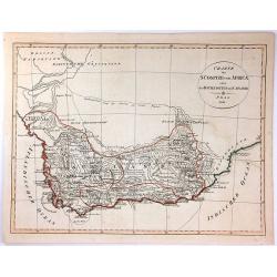
Charte der Sudspize von Africa oder des Hottentotten und Caplands.
A copper engraved map, published in 1811 in Prague. A rare Prague Issue of John Barrow's Map, originally published in 1802 for "An Account of Travels Into the Interi...
Date: Prague, 1811
Selling price: ????
Please login to see price!
Sold in 2016
Africa & Asia (2 Maps)
Two separate maps published by Cadell & Davies in London in 1811. One is of Africa, and the other is of Asia. They are by John Pinkerton, and are from his atlas, the ...
Date: London, 1811
Selling price: ????
Please login to see price!
Sold in 2016
Afrika.
Nice small map of Africa published by Johannes Walch in his rare Allgemeiner Atlas Nach den bewährsten Hülfsmitteln und astronomischen Ortsbestimungen..., edition of 18...
Date: Augsburg, 1812
Selling price: ????
Please login to see price!
Sold in 2013
Plan du Port Napoleon a l'Ile de France [picture] / dresse sous la direction de Mr. L.F. par Mr. Hubert Brue, d'apres plusieurs plans inedits et les observations de l'Abbe de la Caille.
Map of Napoléon harbour, on Isle de France (Île de France in modern French). The island in the Indian Ocean island which is known as Mauritius and its dependent territo...
Date: Paris, 1812
Selling price: ????
Please login to see price!
Sold in 2021
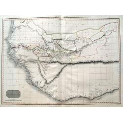
Western Africa.
Elephant folio sized map of Western Africa, extending from the Kingdom of Brak and Damel's Kingdom to the Gold Coast and the Slave Coast, and inland to Bibbie Lake, Jinba...
Date: London, 1813
Selling price: ????
Please login to see price!
Sold in 2016
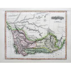
South Africa.
A nicely engraved map with fine hand-coloring. Excellent detail with numerous place names. It also Includes several wells, missionary villages, and short notes.
Date: London, 1813
Selling price: ????
Please login to see price!
Sold in 2017
General chart of the East Coast of Africa from various Authorities and corrected by many
Detailed map of the east coast of Africa, supplemented by profiles and a detailed view of the coast from Mozambique to Cape Delgado. Drawn by John Outhett and engraved by...
Date: London, F.C. & J. Rivington, 1814
Selling price: ????
Please login to see price!
Sold in 2020
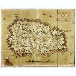
This Geographical Plan of the Island & Forts of St Helena is Dedicated by permission to Field Marshal His Ro.l Highness The Duke of Kent and Strathearn By Lieu.t R.P. Read.
FIRST EDITION. A map of the island of St Helena, decorated with trees, ships, cannons, residences, and even whales (perhaps sperm whales) firing powerful jets of water fr...
Date: London: Burgess & Barfoot, October 1815
Selling price: ????
Please login to see price!
Sold in 2021
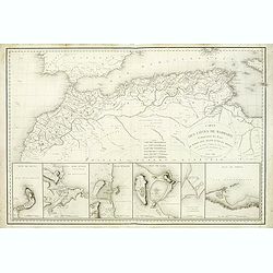
Carte des Cotes de Barbarie.
A very attractive and uncommon map of northern Africa, including plans of Ceuta, Alger, Oran, Tunis, Tripoli and the canal of Gouelette. With the address : Engraved by E....
Date: Paris, 1816
Selling price: ????
Please login to see price!
Sold
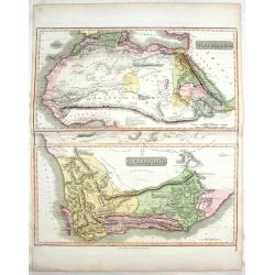
North Africa & South Africa.
Large hand-colored map of North & South Africa (two maps on one sheet). The interesting map include details of the locations of historic events, cave paintings and ca...
Date: Edinburgh, 1817
Selling price: ????
Please login to see price!
Sold in 2017
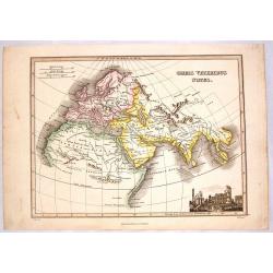
Orbus Veteribus Notus.
Fine map illustrating the ancient world, showing Europe, North Africa & South Asia. Striking vignette of the ruins of ancient Greece. Map by James Wyld, engraved by N...
Date: Edinburgh, 1817
Selling price: ????
Please login to see price!
Sold in 2014
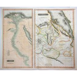
Egypt & Abyssinia.
A fine map of Egypt and Abyssinia by Thomson. It includes two maps on a single sheet, namely, Egypt and Abyssinia.The map of Egypt covers the area from the Nile Delta sou...
Date: Edinbourgh, 1817
Selling price: ????
Please login to see price!
Sold in 2023
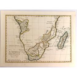
L'Africa Meridionale.
A fine map of southern Africa and Madagascar, by Borghi, from his atlas "Atlante Geograpfico". Bartolomeo Borghi (1750-1821) was an Italian cartographer, engrav...
Date: Florence, 1818
Selling price: ????
Please login to see price!
Sold in 2017
Pianta della Fortezza di Rosas colle opere di assedio eseguite nel 1808.
Map of Africa made for I.M.F. Schmidt, for "Ritter Erdkunde". Published by S.Schropp & Company. Some interesting hypotatical details. A color key in lower p...
Date: Berlin, 1819
Selling price: ????
Please login to see price!
Sold in 2020
Africa.
Fine hand-colored map of Africa by Sidney Morse. It was published by Richardson & Lord in Boston in 1820. It came from the atlas to "MORSE'S SCHOOL GEOGRAPHY&quo...
Date: Boston, 1820
Selling price: ????
Please login to see price!
Sold in 2015
L'AFRIQUE ACTUELLE AVEC LES RENSEIGNEMENTS ET DECOUVERTES OBTENUS PAR LES DERNIERS VOYAGEURS
An interesting map of Africa set in a large page of descriptive text from "Geographie de L’Afrique" printed in Paris by Paul Renouard.
Date: Paris, 1820
Selling price: ????
Please login to see price!
Sold in 2015
Le Kaire (Citadelle) Vue Interieure D'Une Mosquee. . .
A fine plate from 'Description de l'Egypte', the important publication by the French government detailing the results of the Napoleon's pioneering military and scientific...
Date: Paris, ca 1820
Selling price: ????
Please login to see price!
Sold in 2018
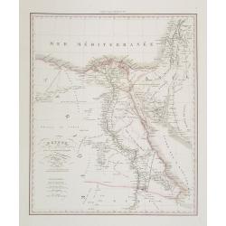
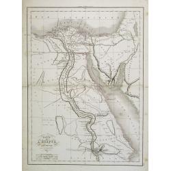
Carte Generale de L'Egypte et de L'Arabie Petree.
Fine, detailed map of Egypt and Saudi Arabia. From Atlas Universel. By Adrian Brue, the royal cartographer.
Date: Paris, 1822
Selling price: ????
Please login to see price!
Sold in 2017
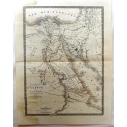
Carte generale L'Egypte Ancienne de la Palestine et de L'Arabie Petree.
A pleasing map featuring Ancient Egypt including Palestine and Arabia. It is by Brue from his "Atlas Universel", and was engraved by L'Auteur.
Date: Paris, 1822
Selling price: ????
Please login to see price!
Sold in 2017
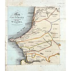
Map of the Countries Inhabited by the Wolofs
Rare map of Senegal and Gambia. The map is shows good detail of villages, regionas, and topographical features. Published in Ackermann's The World in Miniature. Africa.....
Date: London, 1822
Selling price: ????
Please login to see price!
Sold in 2022
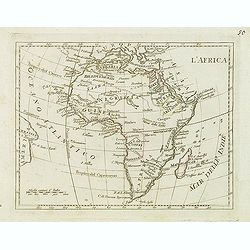
L'Africa.
Finely engraved map of Africa from the rare atlas Atlante Tascabile o sia Serie di Num. XXI Cartine Geografiche nelle quali si rappresenta in ristretto lo Stato Attuale d...
Date: Rome, 1823
Selling price: ????
Please login to see price!
Sold in 2011
Africa for the Elucification of the Abbe Gaultier's Geographical Games.
An unusual children's educational map of Africa, the various countries depicted in different colors, and with only some physical features engraved, like mountain ranges a...
Date: London, 1823
Selling price: ????
Please login to see price!
Sold in 2018
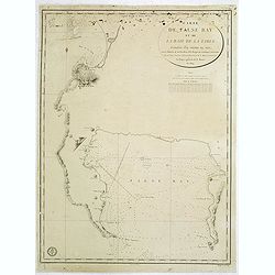
Carte de False Bay et de la Baie de la Table. . .
Very large and detailed of the South African coast from Robben Island to Cape of Good Hope, False Bay and False Cape.Upper right corner the title : CARTE DE FALSE BAY ET...
Date: Paris, Dépôt de la Marine, c.1824
Selling price: ????
Please login to see price!
Sold in 2014
Carte générale de L'Afrique divisée en ses principaux états par Fx Delamarche. . .
Uncommon map of Africa prepared by Felix Delamarche, after R.de Vaugondy. The "Zahara ou Grand désert" and Congo and Zambia "Contrée tout-a-fait Inconnue...
Date: Paris, 1825
Selling price: ????
Please login to see price!
Sold
Carte Generale de l'Afrique ou sont tracees les decouvertes recentes faites dans l'interieur de ce continent.
Interesting and uncommon map of the continent with recent discoveries, but also large blank parts (pays inconnu) shown. Regions and countries indicated by original outlin...
Date: Paris, 1826
Selling price: ????
Please login to see price!
Sold in 2015
Carte Generale de L'Afrique Meridionale. . .
An Interesting map of southern Africa by L.Vivien, with lots of map detail on the south and south east of Africa, and the Congo. Interior largely blank. Many small towns,...
Date: Paris, 1826
Selling price: ????
Please login to see price!
Sold in 2019
Karte von Afrika Nach den neuesten Entdeckungen und Ansichten mit besonderer Rücksicht auf Karl Ritter’s Erdkunde
This very rare, large map of Africa depicts the knowledge of Africa in the first quarter of the XIX century. It seems to appear very seldom on the antiquarian market.
Date: Stuttgard, 1826
Selling price: ????
Please login to see price!
Sold in 2022
Die Capstadt..
Left top numbered Zu pag. 125. date in middle top, and right top numbered Tab. XXV. Uncommon German view of Table Bay and Cape Town ca. 1828. The print interestingly is s...
Date: 1828
Selling price: ????
Please login to see price!
Sold
Survey of the Cape of Good Hope.
Large scale chart of the Cape of Good Hope. Engraved by J. & C.Walker. The survey was made by Lieut. A.T.E. Vidal of H.M.S. Leven assisted by Capt. Charles Lechmere, ...
Date: London 1828
Selling price: ????
Please login to see price!
Sold
Afrique . . .
Detailed map of Africa, prepared by A. H. Basset, rue Saint-Jacques, no. 64, Paris and published in Atlas classique et Universel de Géographie . . . .The engraver of the...
Date: Paris, A.H. Basset, 1828
Selling price: ????
Please login to see price!
Sold in 2009
Egypte . . .
Detailed map of Egypt, prepared by A. H. Basset, rue Saint-Jacques, no. 64, Paris and published in Atlas classique et Universel de Géographie . . . .The engraver of the ...
Date: Paris, A.H. Basset, 1828
Selling price: ????
Please login to see price!
Sold in 2011
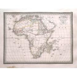
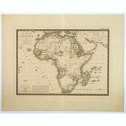
Carte Generale de L'Afrique.
This interesting map of the continent extends to include the Arabian Peninsula, Persia, and the islands in the Indian Ocean. There is a fair degree of geographical detail...
Date: Paris, 1828
Selling price: ????
Please login to see price!
Sold in 2018
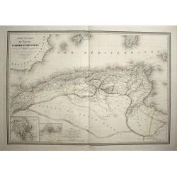
Carte comparée des régences d'Alger et de Tunis
Date: paris, 1829
Selling price: ????
Please login to see price!
Sold in 2008
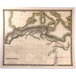
Northern Africa.
An attractive, steel engraved map of North Africa, including Morocco, Algeria, Tunisia and Libya. It was published in Sydney Hall's “A New General Atlas”. It was publ...
Date: London, 1829
Selling price: ????
Please login to see price!
Sold in 2016
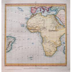
(Untitled map of Africa)
Fine map of Africa and the southern Atlantic. Includes a small part of Brazil, south Europe, and Arabia. Interesting map with large parts left blank in the interior of...
Date: London, 1831
Selling price: ????
Please login to see price!
Sold in 2014
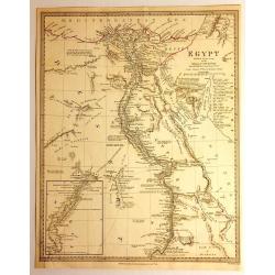
Egypt
Impressive map of Egypt by the Diffusion of Useful Knowledge, or S.D.U.K . It depicts Egypt, centered on the Nile River from the Mediterranean on the south as far as Nub...
Date: London, 1831
Selling price: ????
Please login to see price!
Sold in 2015
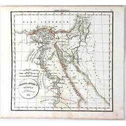
Aegypti Antique Tabula
A fine map of ancient Egypt, with the early names of the settlements along the Nile River, engraved by F. Delamarche and published in Paris in 1831.C.F. Delamarche (1740-...
Date: Paris, 1831
Selling price: ????
Please login to see price!
Sold in 2018
Africa.
A distinctive woodblock engraved map of whole continent of Africa where the printing is reversed - white on black. The map was published in London in 1832 in William Pinn...
Date: London, 1832
Selling price: ????
Please login to see price!
Sold in 2012
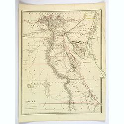
Egypt.
Quite a striking, large steel engraved map of Egypt. Following the course of the River Nile from Lower Egypt southwards to Upper Egypt, then crossing the border with Nubi...
Date: London, 1832
Selling price: ????
Please login to see price!
Sold in 2019
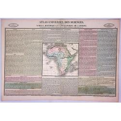
Tableau Historique et Geographique de L'Afrique.
An interesting map of Africa, surrounded by a detailed text description of the various Republics, Territorial Possessions, and other regions of Africa. Among the more fas...
Date: Paris, 1834
Selling price: ????
Please login to see price!
Sold in 2019
TABLE LAND, and distant View of Cape Town at the CAPE of GOOD HOPE.
A nice engraving of Cape Town, published by Richard Bentley, after an earlier engraving by James Forbes, from his "Oriental Memoirs". The route around the Cape ...
Date: London, 1834
Selling price: ????
Please login to see price!
Sold in 2019
Ile Bourbon.
Very attractive and unusual steel engraved map of the island of Réunion. Large scale and thus very detailed map of the island, with many cities and places named. Particu...
Date: Paris, c.1835
Selling price: ????
Please login to see price!
Sold in 2010
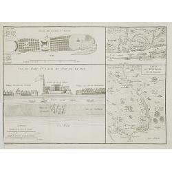
Carte du Sénégal / Plan de l\'Isle St. Louis / Vue du Fort St. Louis du côté de la mer. / Environs de l' Isle St. Louis.
Four maps on one sheet showing the position of the French stronghold of Fort St. Louis in Senegal.
Date: Paris, ca. 1835
Selling price: ????
Please login to see price!
Sold in 2009
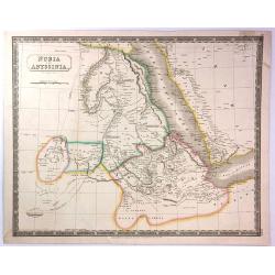
Nubia and Abyssinia
A pleasant map of Nubia and Abyssinia (Ethiopia) that covers from Darfur east to the Sea of Bab el Mandeb (Gulf of Aden) and from the Desert of Chebba south to Donga. Inc...
Date: London, 1835
Selling price: ????
Please login to see price!
Sold in 2016
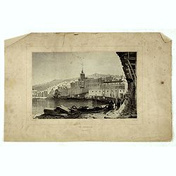
Alger, vue générale prise du port.
Decorative lithography taken from "Voyage pittoresque dans la régence d'Alger" printed in 1835 by Charles Motte. Prepared by WYLD William Wyld (1806-1889) and ...
Date: Paris, 1835
Selling price: ????
Please login to see price!
Sold in 2016
Alger, Café Maure rue du Soudan.
Decorative lithography taken from "Voyage pittoresque dans la régence d'Alger" printed in 1835 by Charles Motte. Prepared by WYLD William Wyld (1806-1889) and ...
Date: Paris, 1835
Selling price: ????
Please login to see price!
Sold in 2021
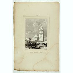
Alger, Petite mosquée à Oran.
Decorative lithography taken from "Voyage pittoresque dans la régence d'Alger" printed in 1835 by Charles Motte. Prepared by WYLD William Wyld (1806-1889) and ...
Date: Paris, 1835
Selling price: ????
Please login to see price!
Sold in 2021
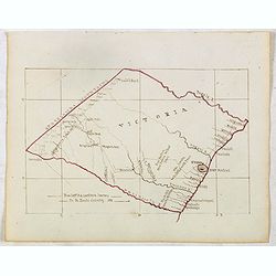
VICTORIA . . .
Finely executed pend drawing in brown ink with coast line in red color. Scale is in English miles. Underneath the title an explanation. In lower left corner "From Ca...
Date: ca. 1836
Selling price: ????
Please login to see price!
Sold in 2015
Cape of Good Hope.
According to Professor Elri Liebenberg : "This map is probably the most important map of the region prepared before the Great Trek commencing ca. 1835. This example ...
Date: London, 1834-1836
Selling price: ????
Please login to see price!
Sold in 2017
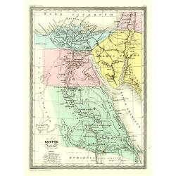
Egypte Ancienne.
Fine map of ancient Egypt.From Malte-Brun's Atlas Géographie Universelle.. ., revised by Jean Jacques Nicolas Huot.This very fine executed map has been printed by Fosset...
Date: Paris 1837
Selling price: ????
Please login to see price!
Sold
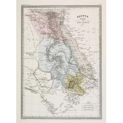
Égypte Nubie & Abyssinie.
Fine map of Egypt.From Malte-Brun's Atlas Géographie Universelle.., revised by Jean Jacques Nicolas Huot.This very fine executed map has been printed by Pierre Sarrazin ...
Date: Paris, 1837
Selling price: ????
Please login to see price!
Sold
Carte de L'Egypte Ancienne par Delamarche.
Steel engraved map of ancient Egypt.
Date: Paris, 1837
Selling price: ????
Please login to see price!
Sold in 2016
Afrique Occidentale Comprenant le Sahara, Le Soudan...
Detailed map of Western Africa including the Sahara Desert and the Soudan. Published by Aubree Armand in Paris in 1837. Engraved by I. Grenier and printed by Mangeon.Inse...
Date: Paris, 1837
Selling price: ????
Please login to see price!
Sold in 2015
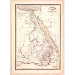
Afrique Orientale Comprenant L'Egypte, La Nubie, L'Abyssinie.
Detailed map of Western Africa including Egypt and Nubia. Published by Aubree Armand in Paris in 1837. Engraved by I. Grenier and printed by Mangeon.
Date: Paris, 1837
Selling price: ????
Please login to see price!
Sold in 2015
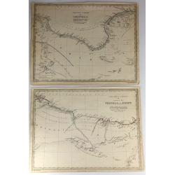
Two S.D.U.K. Maps - North Africa or Barbary IV & V
Two detailed maps of North Africa or Barbary by S.D.U.K. published in London in 1837 by Chapman & Hall. “North Africa or Barbary IV” covers TRIPOLI and “North ...
Date: London, 1837
Selling price: ????
Please login to see price!
Sold in 2016
[Manuscript] Afrique - Janvier 1839.
Fine manuscript map of Africa with relief shown pictorially. The Oceans in wash color and the borders in different colors. Dated 1839, and signed by the author in the low...
Date: Paris 1839
Selling price: ????
Please login to see price!
Sold
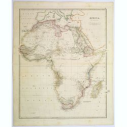
Africa.
A lovely looking steel engraved map of the mighty continent of Africa. The map highlights vividly how much exploration was carried on around the coastline, and how the va...
Date: London, 1839
Selling price: ????
Please login to see price!
Sold in 2017
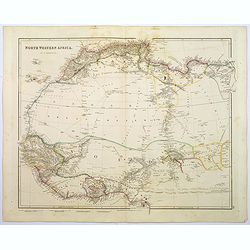
North Western Africa.
A lovely looking steel engraved map of the north western portion of Africa. The map highlights vividly how much exploration was carried on around the coastline, and how t...
Date: London, 1839
Selling price: ????
Please login to see price!
Sold in 2018
Kust Van Afrika van de Tafel Baay aan Kaap de Goede Hoop tot de Saldanha Baay.
Detailed map of the coast of South Africa from Saldanha Bay till Tafel Bay. Including the islands Robben Island and Dassen Island. Engraved by Daniel Veelwaard and publis...
Date: Haarlem c. 1840
Selling price: ????
Please login to see price!
Sold
Militair plan van de Kaapsche Landengte?
Detailed map of the Cape of Good Hope. Engraved by Daniel Veelwaard and published by F.Bohn.
Date: Haarlem c.1840
Selling price: ????
Please login to see price!
Sold





![[BATTLE PLANS]](/uploads/cache/95908-250x250.jpg)




![Plan du Port Napoleon a l'Ile de France [picture] / dresse sous la direction de Mr. L.F. par Mr. Hubert Brue, d'apres plusieurs plans inedits et les observations de l'Abbe de la Caille.](/uploads/cache/46809-250x250.jpg)













![[Manuscript] Afrique - Janvier 1839.](/uploads/cache/23282-250x250.jpg)
