Search Listings matching "figured-border" in Europe
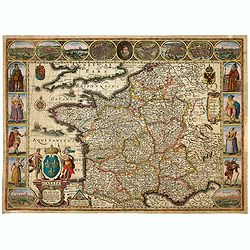
Gallia. Nova Galliae descriptio . . .
Very rare and early map of France with figures on three sides with views of cities, portraits (Henri IV and Marie de Medicis) and costumes. The map was directly influence...
Date: Amsterdam, 1616
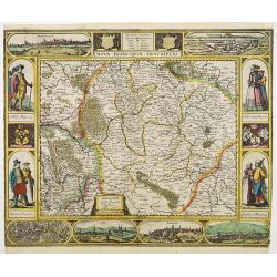
Nova Franconiae Descriptio.
In 1626 Abraham Goos engraved a single-sheet "carte à figures"- map of Franconia with decorative borders for Joannes Janssonius. In the center part of the top ...
- $2000 / ≈ €1723
Date: Amsterdam, 1626
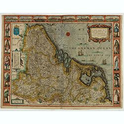
A new mape of Ye XVII Provinces of Low Germanie.
Showing all 17 Provinces of the Netherlands before the split between Spain and the Protestant Provinces under the House of Orange. The map was published while the war of ...
- $2300 / ≈ €1981
Date: London, George Humble, 1626 [1627
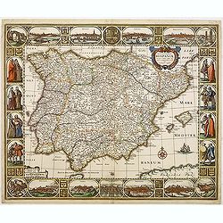
Nova et accurata Tabula Hispaniae. . .
Second state. This "carte à figures"- map of Spain and Portugal shows the geographical image introduced by Hessel Gerritsz's 1612 wall map of Spain. The map is...
Date: Amsterdam, 1633
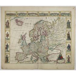
Nova Europae descriptio.
A fine "carte à figures"- map with four panels in columns on each side show portraits of Kings and Queens of European countries. The top border contains panora...
Date: Amsterdam, 1660
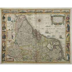
A new mape of Ye XVII Provinces of Low Germanie.
Showing all 17 Provinces of the Netherlands before the split between Spain and the Protestant Provinces under the House of Orange.The map was first published. At the same...
Date: London, 1676
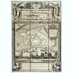
Plan de la ville de Roses avec les attaques.
Very rare and beautiful plan engraved by Pierre Lepautre, of the city of Roses in Catalonia, and celebrating the victory and capture of the city by Louis XIV in June 1693...
- $1500 / ≈ €1292
Date: Paris, 1700
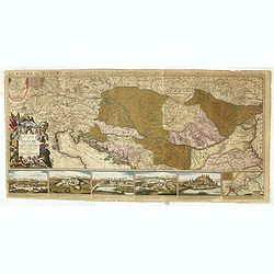
Le Cours du Danube depuis sa Source jusqu'a ses Embouchures Dresse sur les Memoires les plus Nouveaux du P. Coronelli et Autres.
Prepared by Nicolas Sanson after V.Coronelli. Large title cartouche lower left with dedication to M.Dauphin.Covers the length of the Danube from its source -west of Ulm t...
- $1300 / ≈ €1120
Date: Amsterdam, 1710
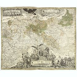
Generale Carte der gesamten Koniglichen Preussischen Lander. . .
Beautiful and rare two sheet map of Prussia. The title cartouche is hold by a crowned eagle. In lower part a large baroque cartouche with allegorical figures and a portra...
- $1200 / ≈ €1034
Date: Berlin, 1760
