Search Listings matching "sea-chart" in Australia & Oceania > Oceania
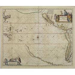
Mar del Zur, Hispanis Mare Pacificum.
Janssonius' fine chart of the Pacific including the west coast of America with California shown as an island, Japan and a small Australian coastline. This is the earliest...
Date: Amsterdam, 1650
Carte générale de l'océan pacifique. . .
depicting the Pacific Ocean, with nice detail of Hawaii. With a complete outline for Australia and Tasmania. Shows the south east Asian region and South America.Mapping ...
Date: Paris, 1833
[2 Sheets] Carte Générale de l'Océan Pacifique Dressée Par Mr. C. A. Vincendon-Dumoulin. . . Pl. 1. N° 1092. / Ocean Pacifique Feuille 2. . . Pl. 2. N° 1093.
Two sea charts depicting the Pacific Ocean, with nice detail of Hawaii. Sheet 1 shows the south east Asian region. The second North America and part of South America. Pre...
- $900 / ≈ €775
Date: Paris, 1845, updated for 1884
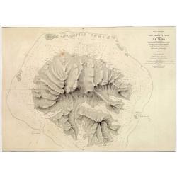
Océan Pacifique. Archipel de la Société. Iles Raiatea et Tahaa. 1ère Feuille. Ile Tahaa..
Large scale chart focused on the island Tahaa, in French Polynesia.Showing a few details of the village of Tahaa, banks, isles and soundings made in meters. Relief is sho...
- $200 / ≈ €172
Date: Paris, 1885
Carte de la Mer comprise entre l'Australie, la Nelle. Zélande et la Nelle.
Sea chart of the Pacific Ocean between Australia, New Zealand and New Caledonia. Including the towns of Sydney, Brisbane. The northern tip of New Zealand in lower right c...
- $350 / ≈ €301
Date: Paris, 1872 updated for 1888


![[2 Sheets] Carte Générale de l'Océan Pacifique Dressée Par Mr. C. A. Vincendon-Dumoulin. . . Pl. 1. N° 1092. / Ocean Pacifique Feuille 2. . . Pl. 2. N° 1093.](/uploads/cache/26731-250x250.jpg)

