Search Listings matching "arrowsmith"
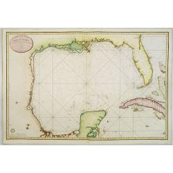
Carte des côtes du Golfe du Mexique compris entre la pointe sud de la presqu'Ile de la Floride et la pointe nord de la presqu'Ile d'Yucatan:...
Detailed and important early chart of the Gulf Coast and Florida and dated 1800. First French edition of "the first printed [map] to show and name Galveston Bay&qu...
Place & Date: Paris, 1800
United States of North America. Carte des Etats-Unis de l'Amerique Septentrionale / copiée et gravée sur celle d'Arrowsmith, corrigée et considérablement augmentée... par P. F. Tardieu...
FIRST EDITION. An impressive wall map here in 4 unjoined sheets and large margins. RARE in these untouched, full sheets. Recorded examples are usually offered as folding ...
Place & Date: Paris: An XI - 1802
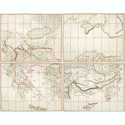
A Map of the Environs of Constantinople Drawn from a great number of accurate astronomical & geographical manuscripts and printed documents, by A. Arrowsmith 1801 and 1804.
Arrowsmith’s large and detailed map of the Ottoman Empire and the Black Sea, with Cyprus, Crete and the Greek Islands in the Mediterranean Sea, Albania, Bosnia and Herz...
Place & Date: London, No.10 Soho Square, 4th September 1804
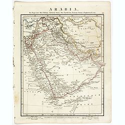
Arabia. Sive Regio inter Mare Medium, Arabicum Sinum, . . .
Very detailed map of the Arabian Peninsular, covering the Caspian Sea in the upper right corner and Syria to the Indian Ocean, Somalia and parts of Persia, Syria and Kurd...
Place & Date: London, 1841
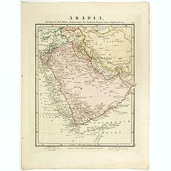
Arabia.
Steel engraved map of the Arabian Peninsular. It shows Arabia and Parts of Persia, Syria and Kurdistan. The regional boundaries are colored and relief shown by hachures. ...
Place & Date: London, 1841


