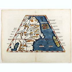
[India and China]
Wood block printed map and one of earliest printed representation of India and China prepared Martin Waldseemüller. Based on the slightly larger map from 1513 published ...
$2000 / ≈ €1871
Place & Date: Vienna, 1525 -1541
Tabula Superioris Indiae & Tartariae maioris. (Modern Map of China, Japan, etc.)
Important map extending from Tartary in the north, to "Prov. Bocat" (Cambodia) in the south. "Tebet" is shown prominently, as is "Zinpangri"...
$5000 / ≈ €4679
Place & Date: Vienne, 1541
![[India and China]](/uploads/cache/33875-250x250.jpg)
