

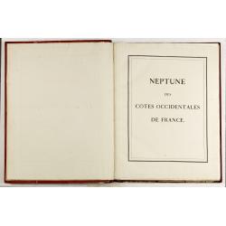


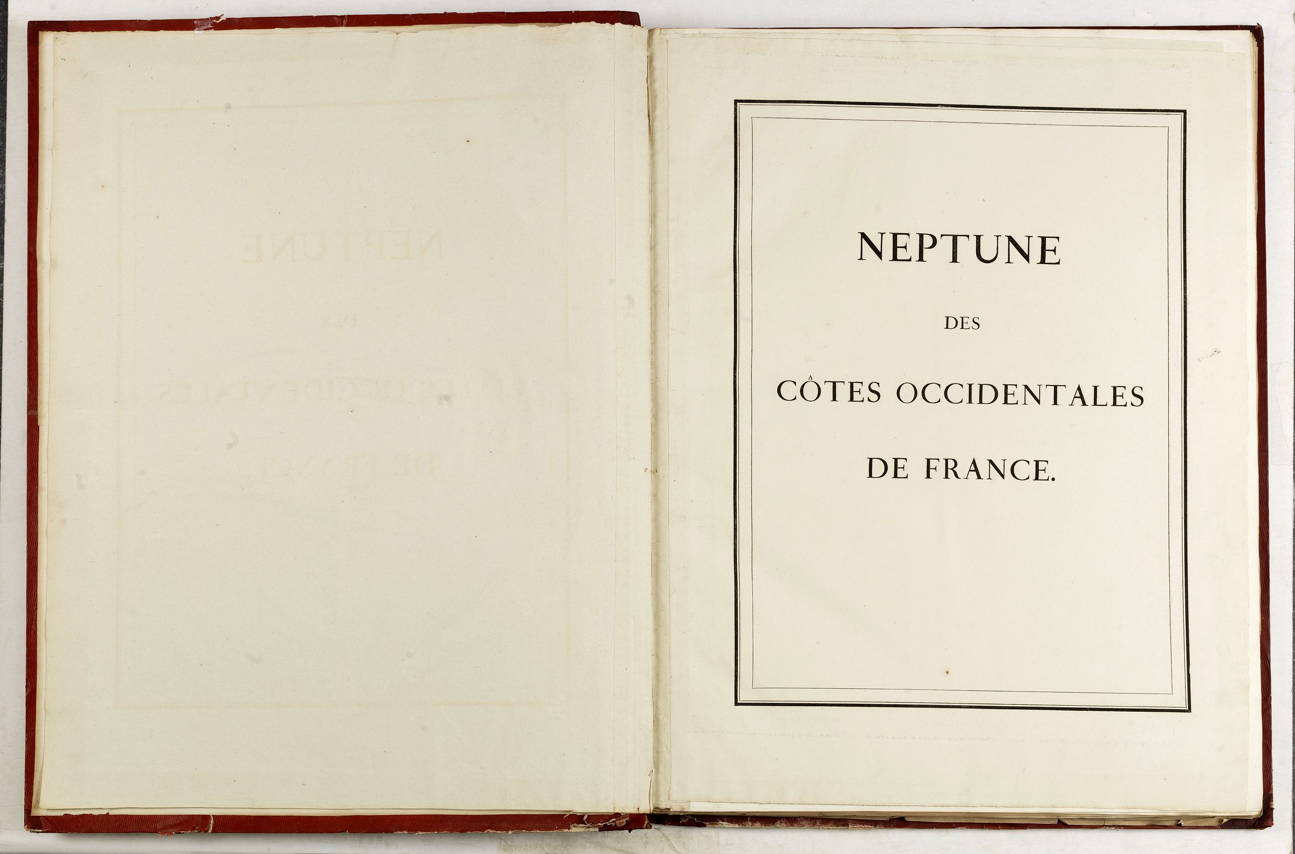
Neptune des Côtes Occidentales de France. |
||||||||||||||||||||
|
||||||||||||||||||||
|
|
||||||||||||||||||||
This item is available for immediate sale
12000.00
|
My Collection +
Add this or any of your favorite items in one place. If you want to save the items permanently, you have to sign in or create an account first. |
|||||||||||||||||||
Description
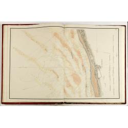
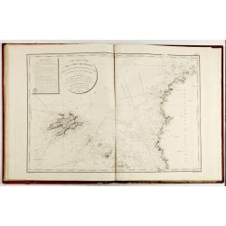
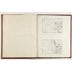
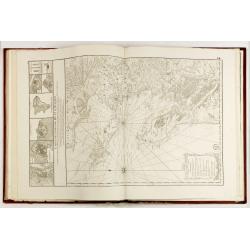
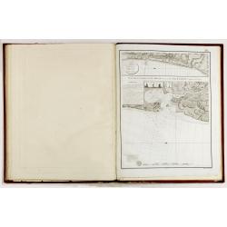
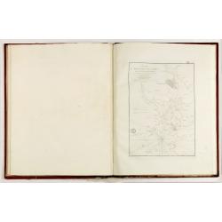
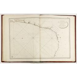
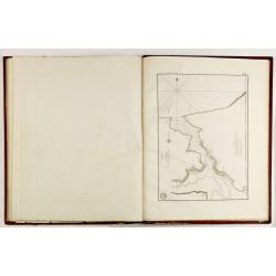
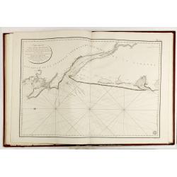
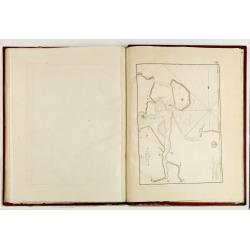
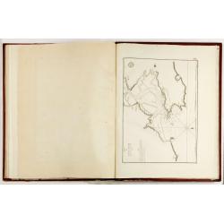
Large maritime atlas illustrated with a handwritten title, a table, and 47 single or double-page charts. The charts show the western coasts of France as well as the Spanish Basque Country and the Santander region.
The maps contained in the atlas do not completely correspond to the map table; some are missing, others have been added. Some are colored.
List of the charts :
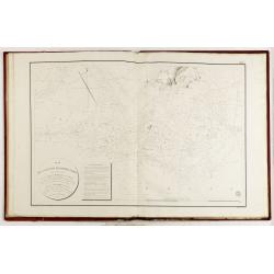
(No N°) Mappemonde ou carte réduite des parties connues du globe pour servir au voyage de la Pérouse (hors tables et plans).
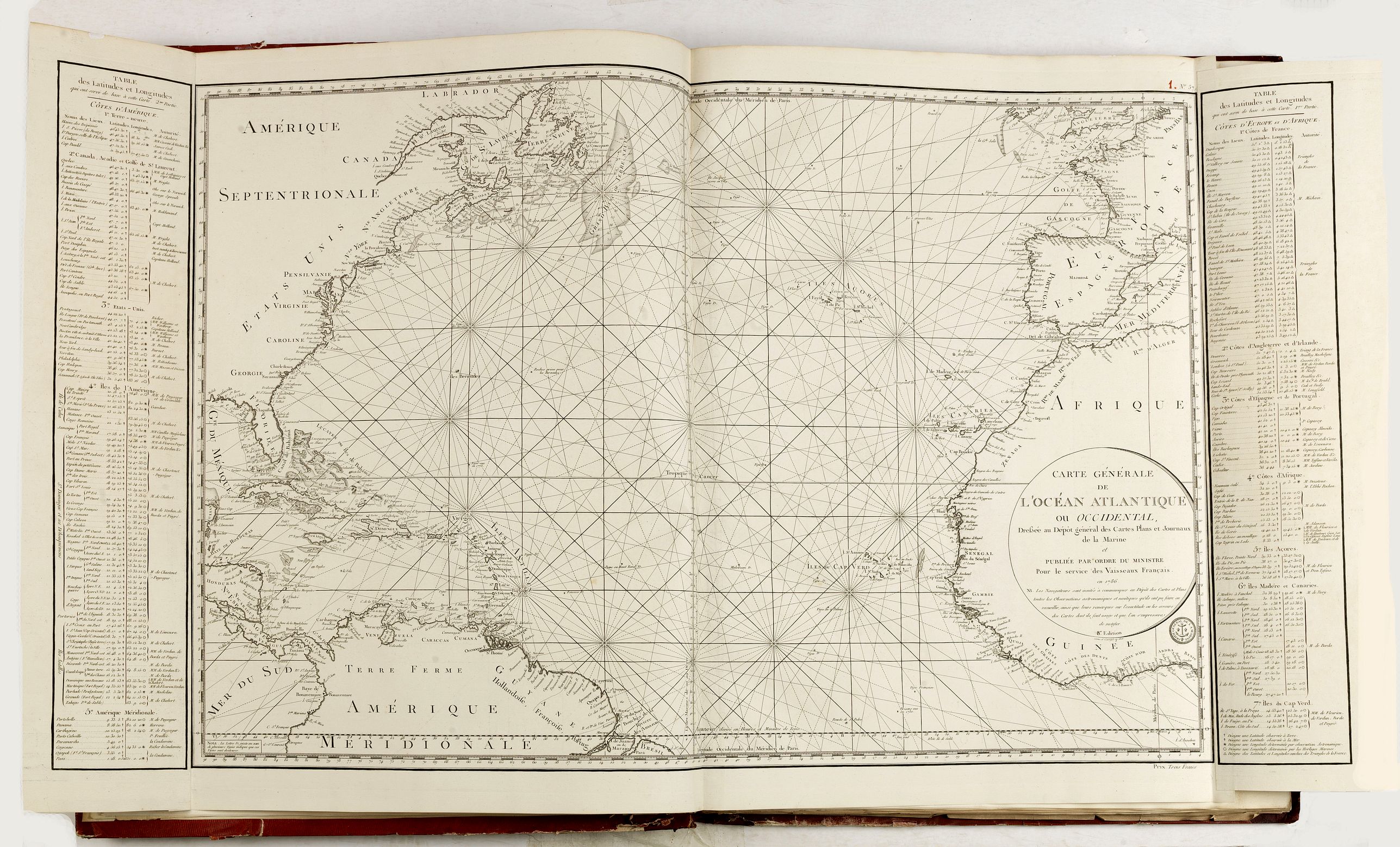
1 (57) Carte générale de l'Océan atlantique ou occidental… Publié par ordre du Ministre pour le service des vaisseaux français en 1786. 8e édition.
2 (42) Carte réduite de la Manche… 1798. Nouvelle Edition de l'An 1802.
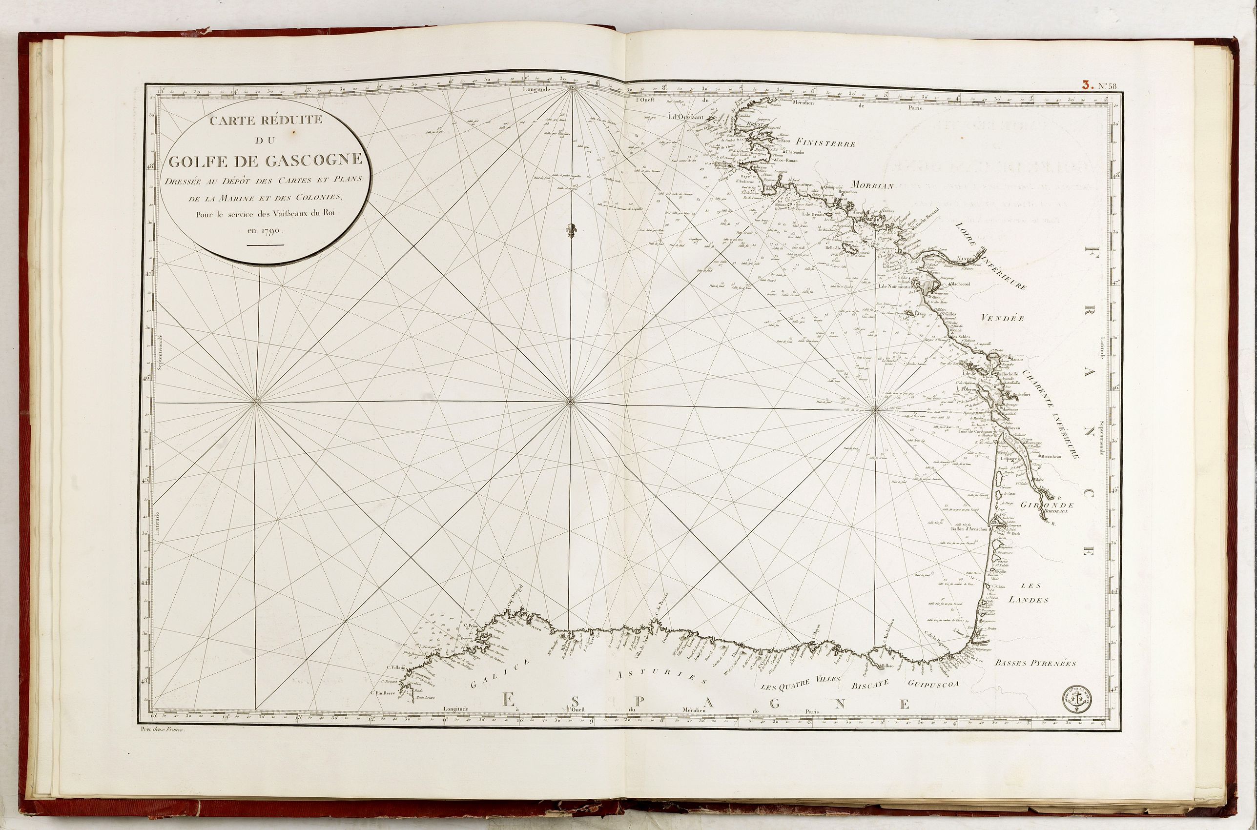
3 (58) Carte réduite du Golfe de Gascogne… 1790.
4 (59) Reconnoissance hydrographique de la Côte Nord de France… En vendémiaire An XI. Coloriée.
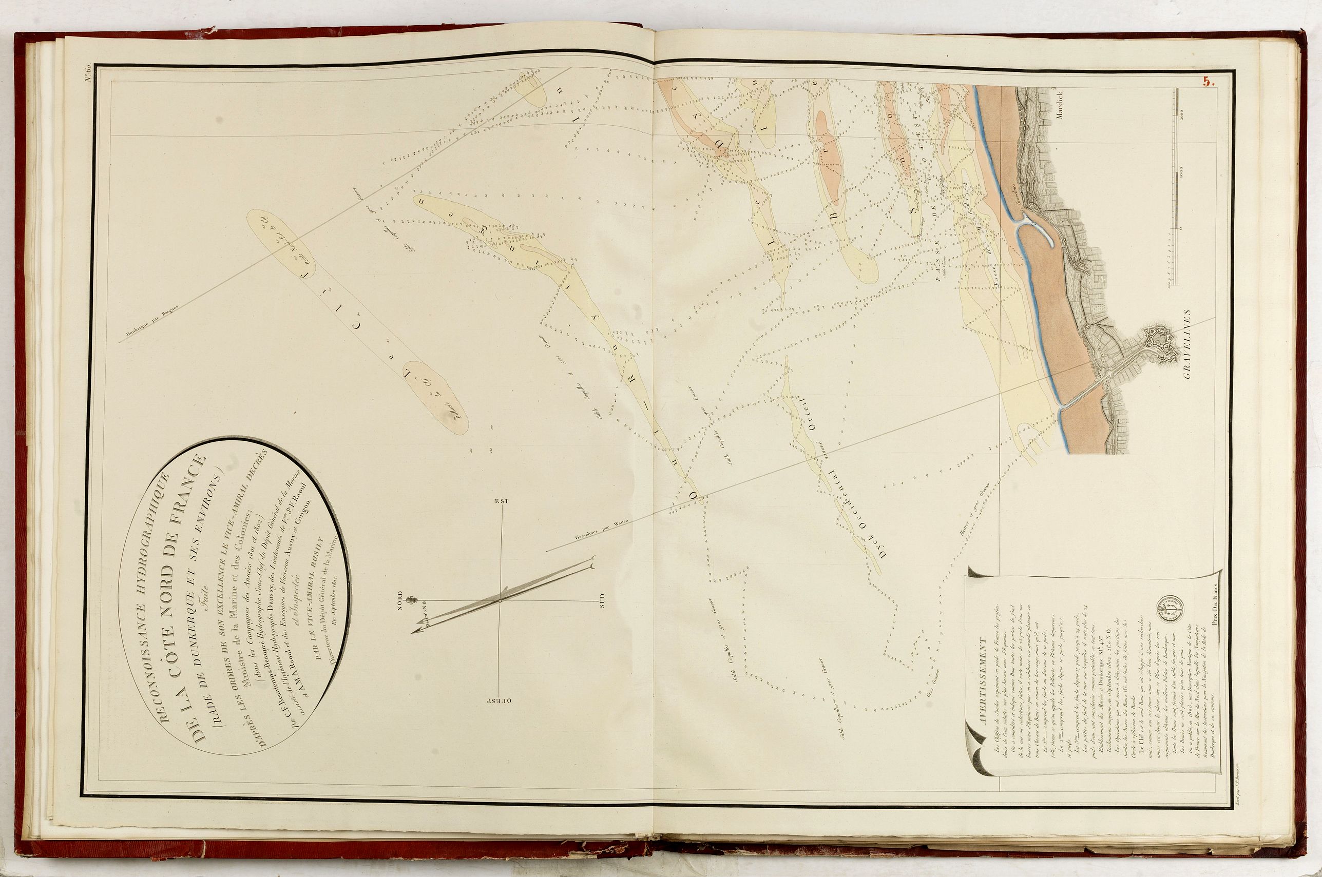
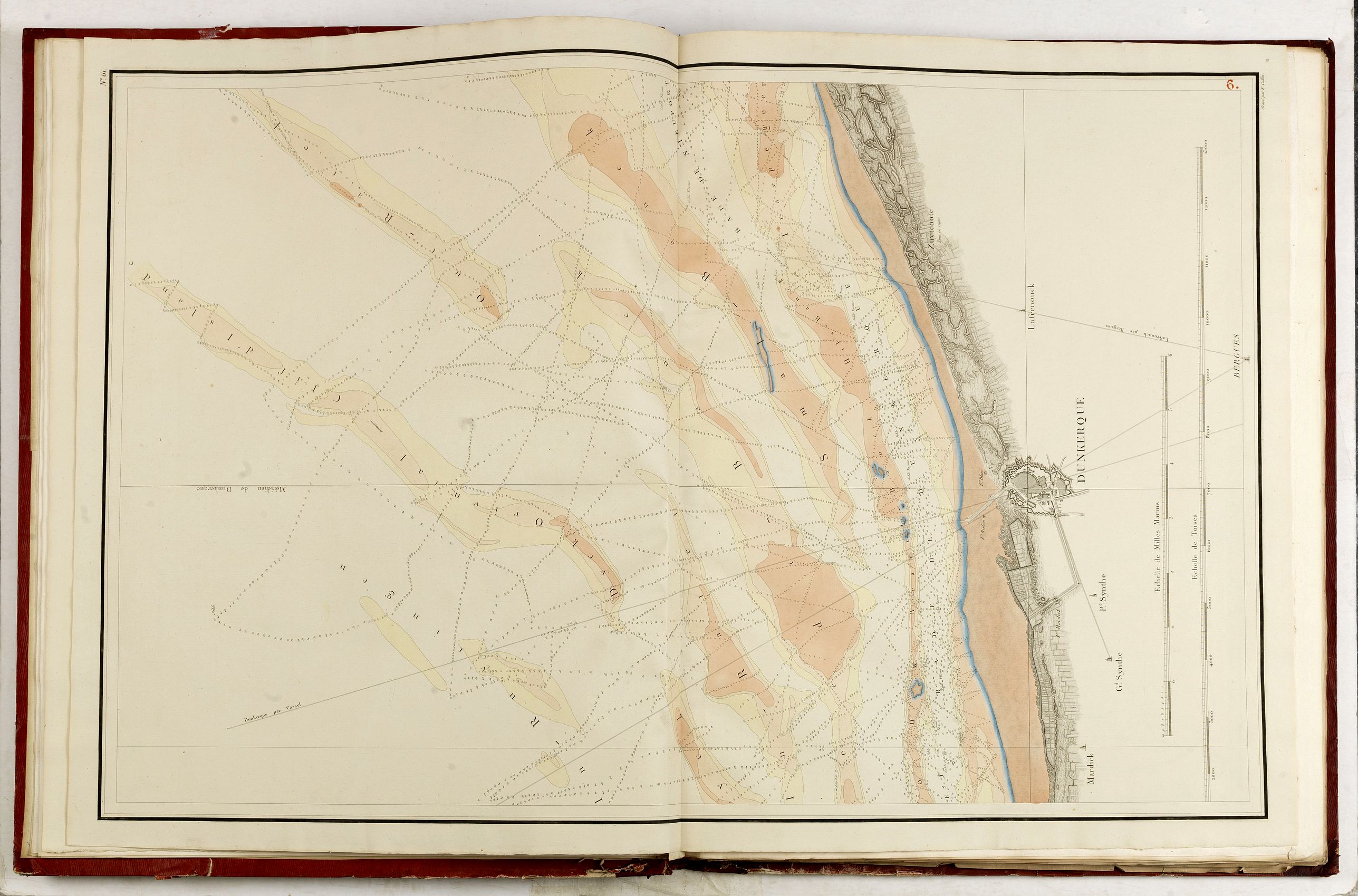
5 Reconnoissance hydrographique de la Côte Nord de France, Rade de Dunkerque. Septembre 1802. Coloriée.
6 Dunkerque. S.L.N.D. Coloriée.
7 Côtes de France : département du Pas-de-Calais. Dépôt des Cartes et Plans, An Ier.
8 Côtes de France : départements du Pas de Calais et de la Somme… 1776 par La Couldre-La Bretonnière-Mechain. Service des Vaisseaux. 1792.
9 (64) Côtes de France : Départements de la Somme et de la Seine Inférieure. 1797.
10 (65) Côtes de France : Département de la Seine Inférieure. 1792.
11 (66) Côtes de France : Département du Calvados. 1792.
12 (76) Côtes de France : Département de la Manche. 1792.
13 Côtes de France : Départemens de la Manche et d'Île et Vilaine. 1792.
14 Carte générale des Costes de Bretagne. Observations des marées.
15 Carte particulière des Costes de Bretagne depuis Granville jusques au Cap de Frehel.
16 Carte particulière des Costes de Bretagne depuis le Cap de Frehel jusques à Perros.
17 (23) Carte particulière des Costes de Bretagne qui comprend Morlaix, sept Isles.
18 Carte particulière des Costes de Bretagne, Morlaix : manquante.
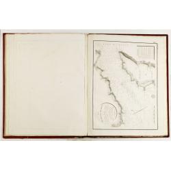
19 Carte particulière des Costes de Bretagne depuis l'Anse Goulven jusqu'à l'Isle d Ouessant.
20 Carte particulière des Costes de Bretagne contenant les environs de la rade de Brest.
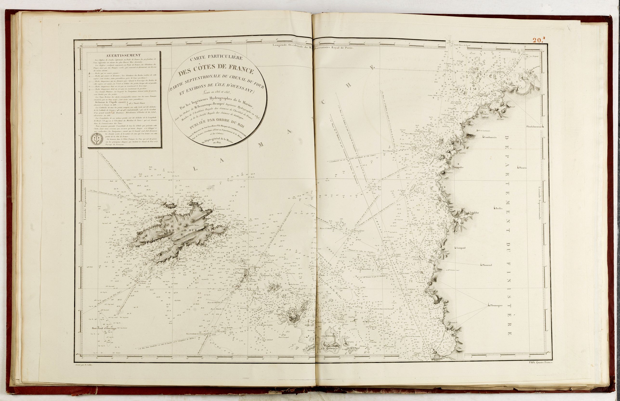
20-2 Carte particulière des Côtes de France (partie septentrionale du chenal du Four). 1822.
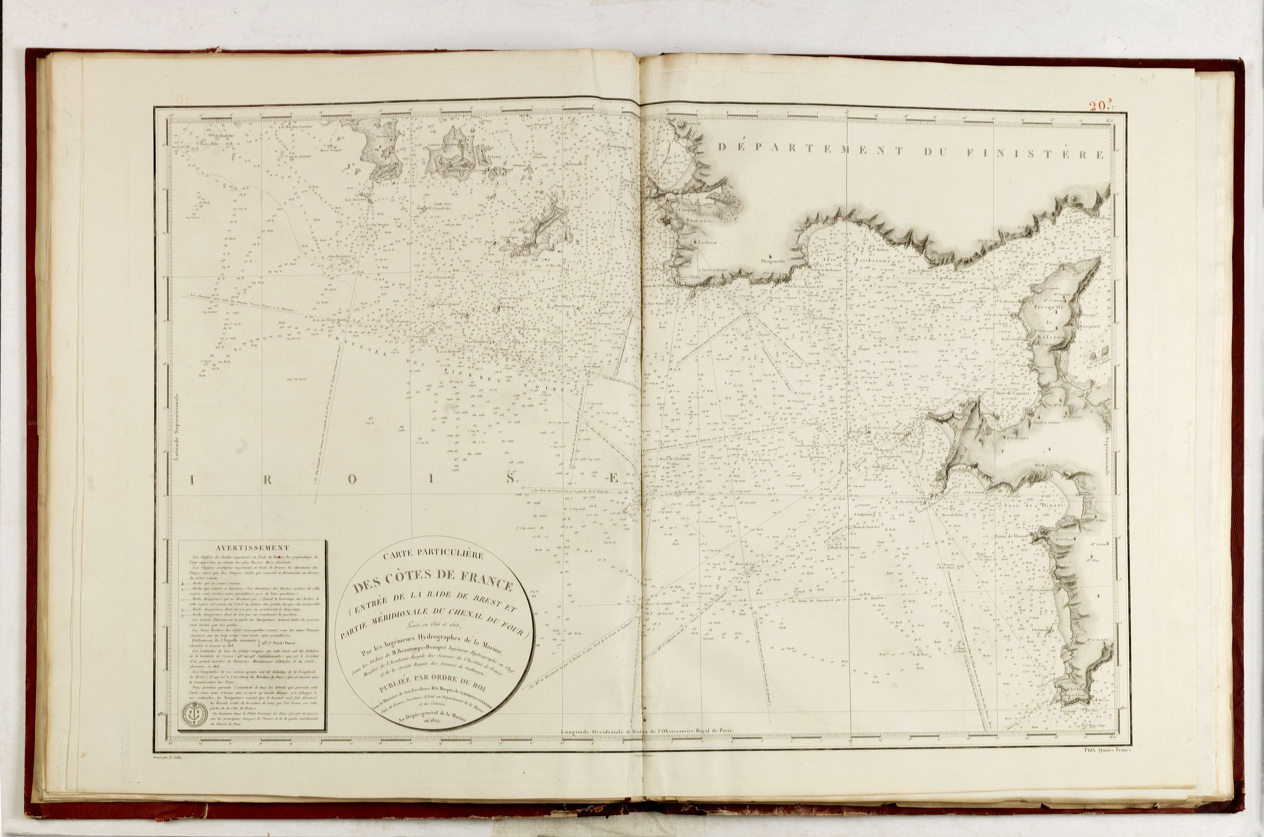
20-3 Carte particulière des Côtes de France (entrée de la Rade de Brest). 1822.
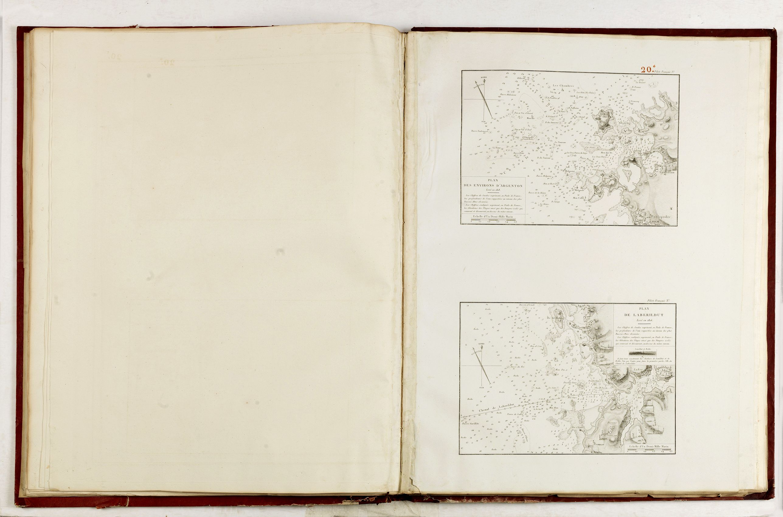
20-4 Plans des environs d'Argenton et de Laberildut, 1818 et 1816.
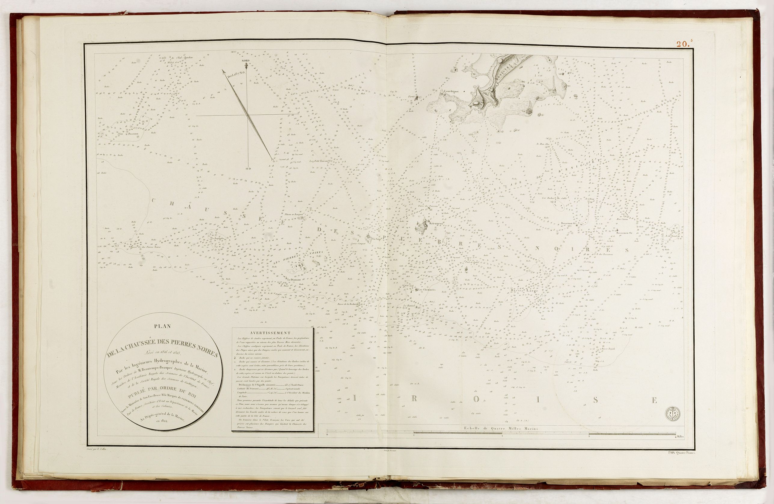
20-5 Plan de la Chaussée des Pierres Noires… 1816 et 1818… M. Beautemps-Beaupré. 1822.
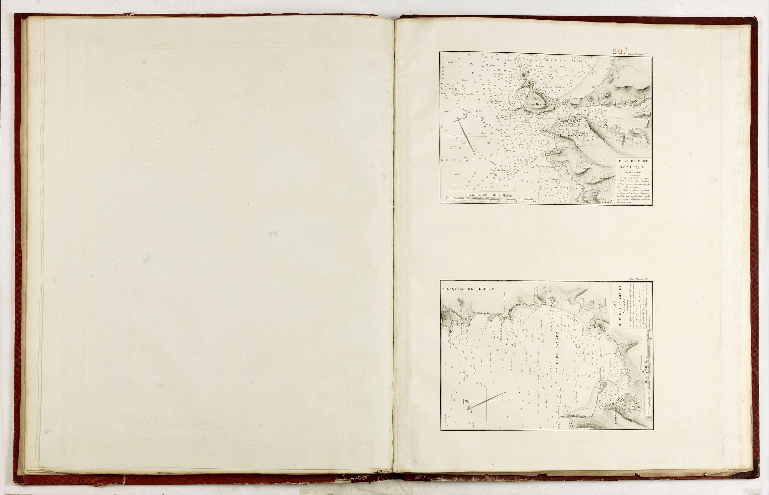
20-6 Plans des Ports du Conquet et de Camaret, 1816.
20-7 Plan du Goulet de Brest. 1822.
20-9 Plan des Passages du Toulinguet… 1816 et des environs du Cap de la Chèvre. 1816. (hors table des Cartes et Plans)
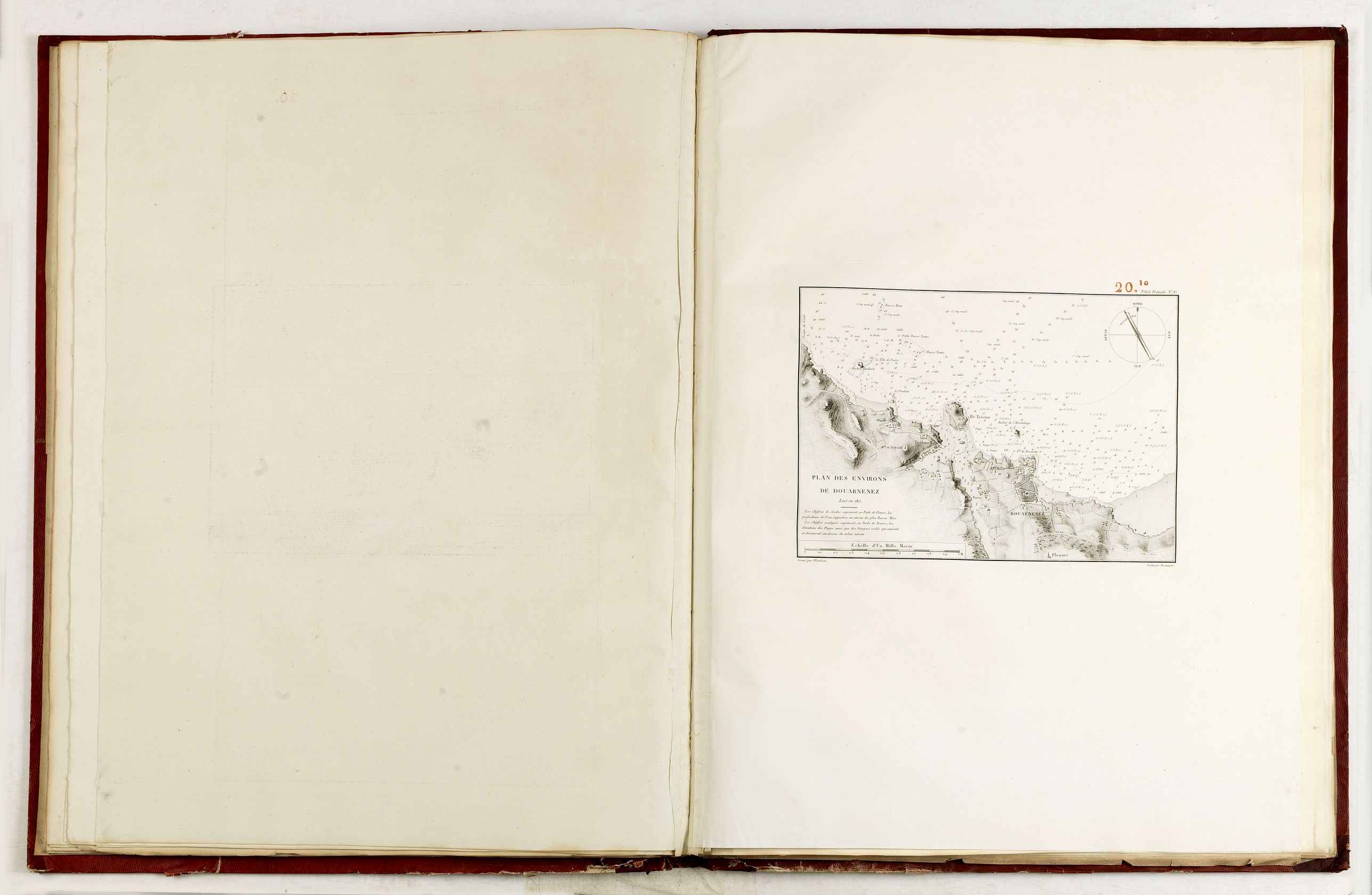
20-10 Plan des environs de Douarnenez. 1817. (hors table des Cartes et Plans)
21 Carte particulière des Costes de Bretagne depuis la Baye d Hodierne jusqu'à l'Isle de Groa.
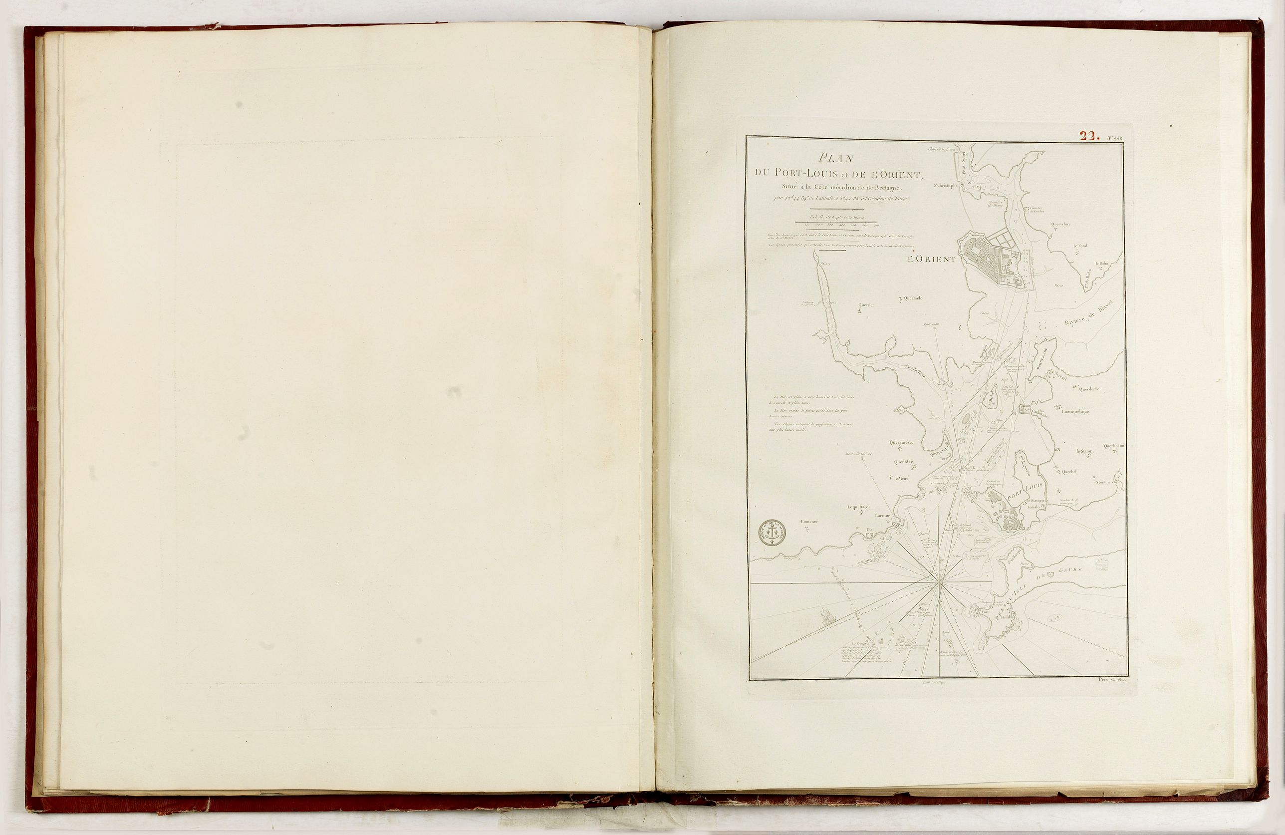
22 Plan du Port Louis et le L'Orient.
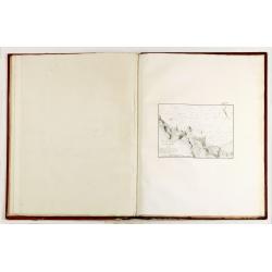
23 Carte particulière des Costes de Bretagne depuis l Isle de Groa jusqu'au Croisic.
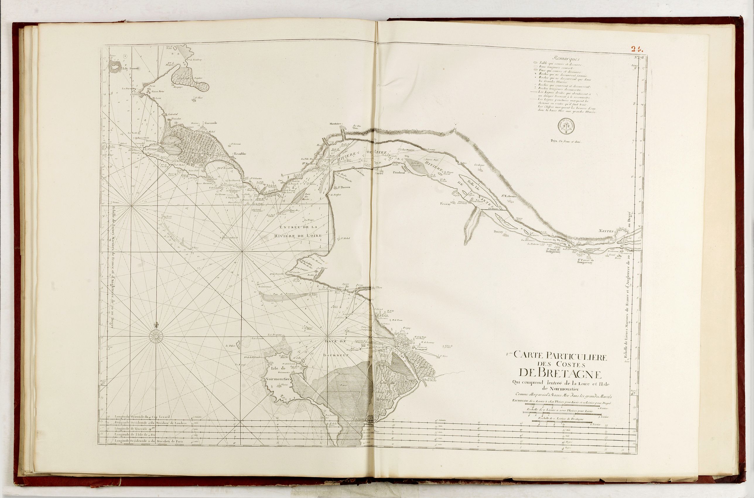
24 Carte particulière des Costes de Bretagne qui comprend Lentrée de la Loire et l'Isle de Noirmoustier.
25 Carte des Costes de Poitou, d'Aunis et Saintonge.
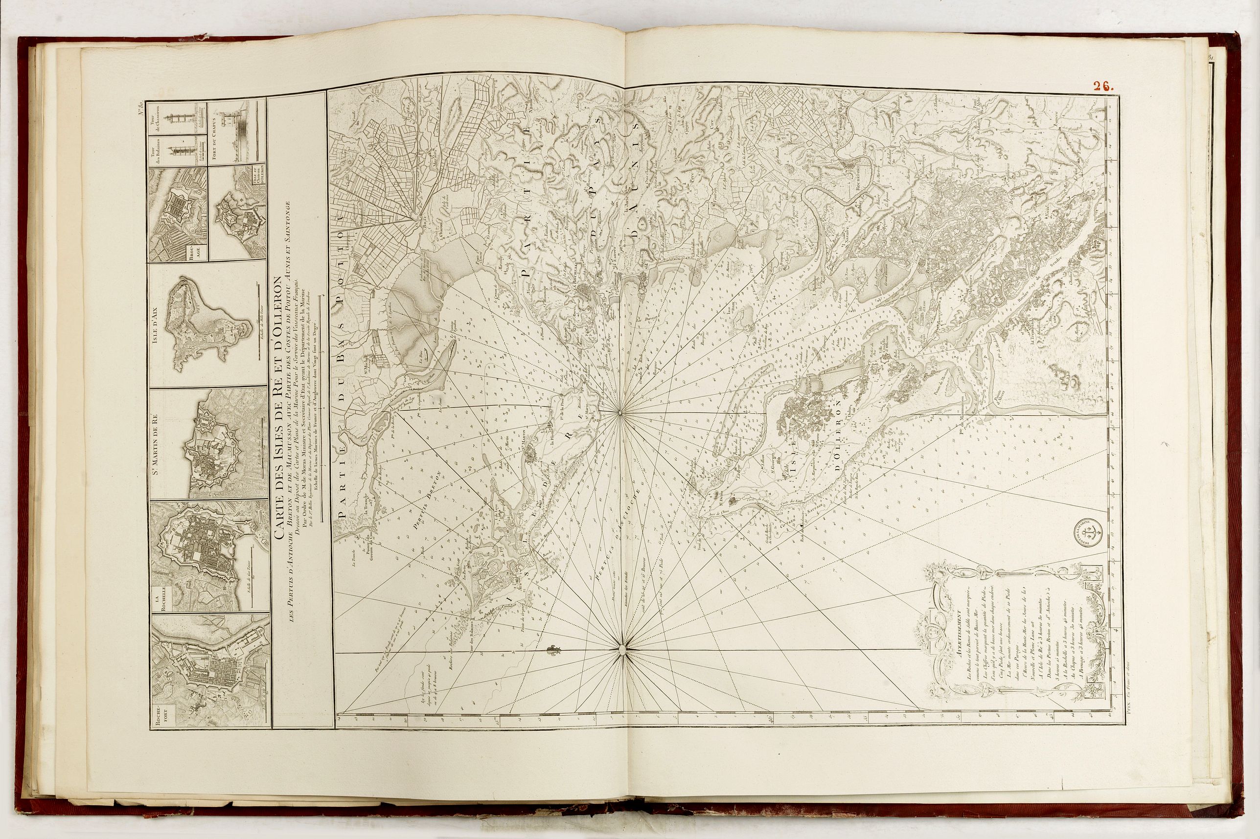
26 Carte des Isles de Ré et d Olléron… Sr Bellin.
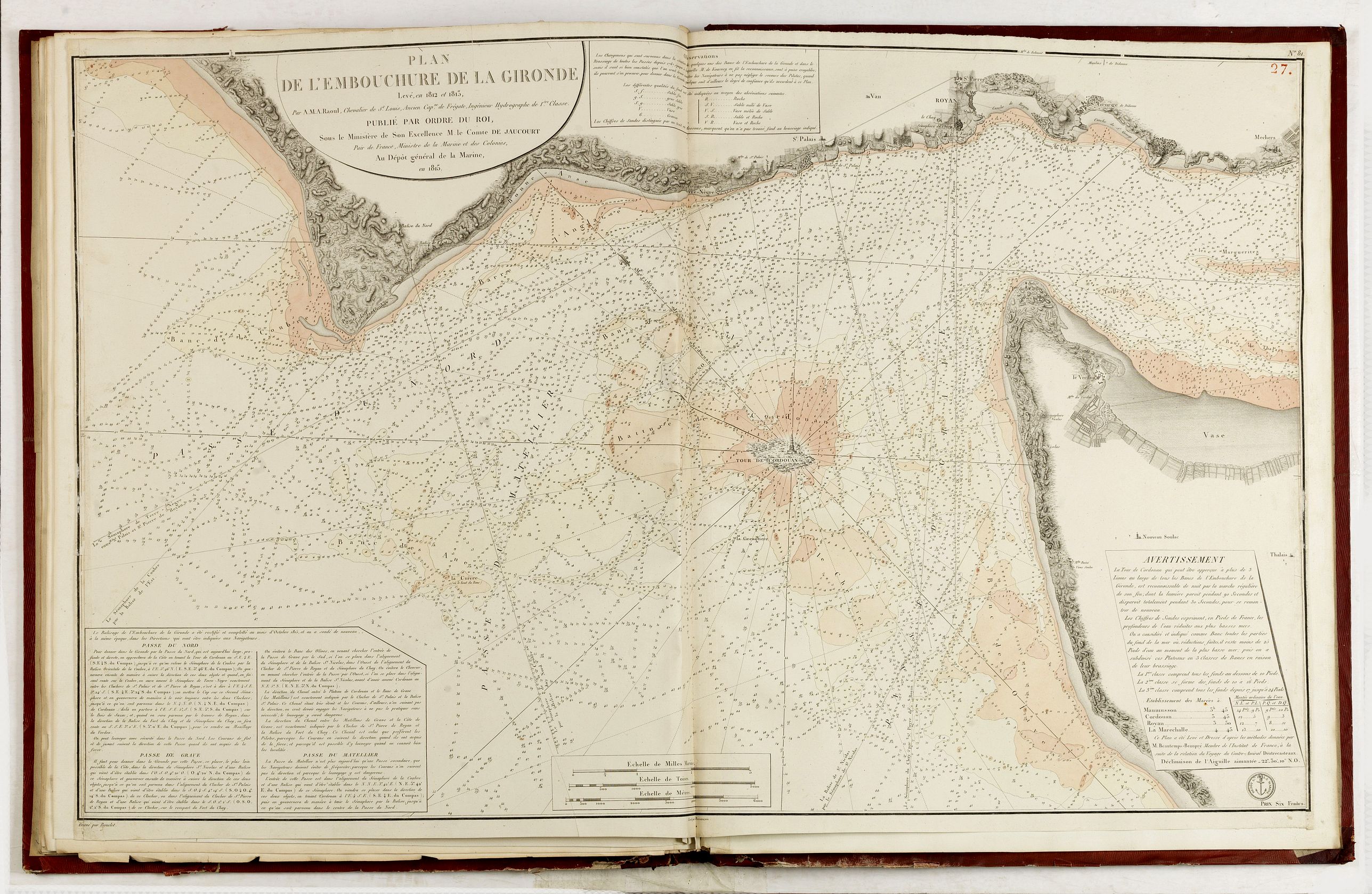
27 Plan de l'embouchure de la Gironde… 1812 et 1813 par A. M. A. Raoul, Neptune de la Méditerranée.Coloriée.
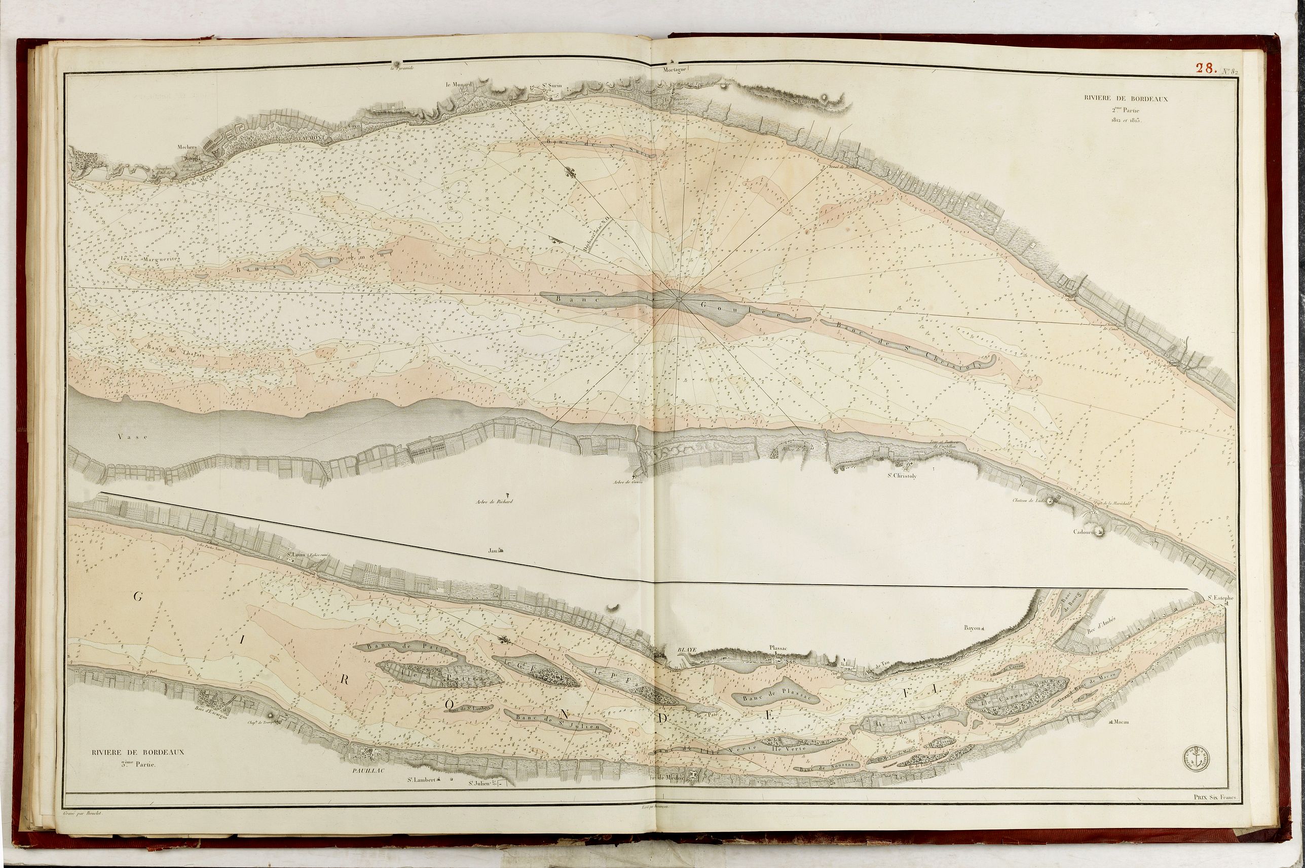
28 Rivière de Bordeaux. 1812 et 1813. Coloriée.
29 Plan du Bassin d'Arcachon. 1817.
30 Plan de la Fosse de Cap-Breton, levé en 1815 par M. Depoge Capitaine de Frégate.
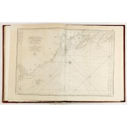
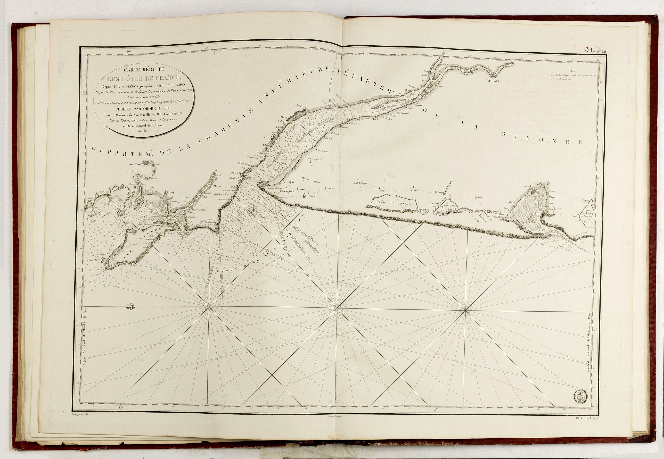
31 (85) Carte réduite des Côtes de France depuis l Île d Oléron jusqu au Bassin d'Arcachon. 1818.
32 Carte réduite des Côtes de France depuis le Bassin d'Arcachon et d'Espagne. 1818.
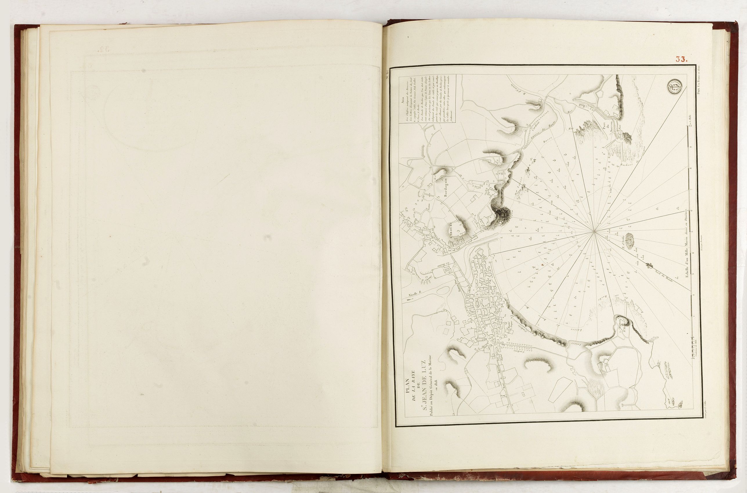
33 Plan de la Baye de St Jean de Luz. 1818.
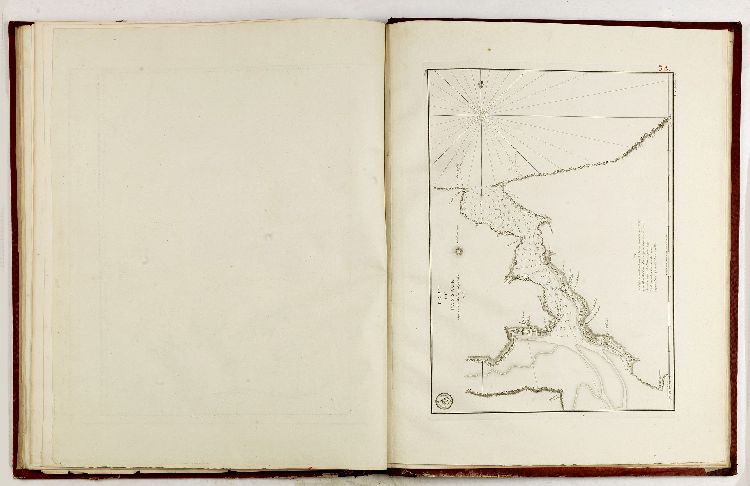
34 Port du Passage. 1793.
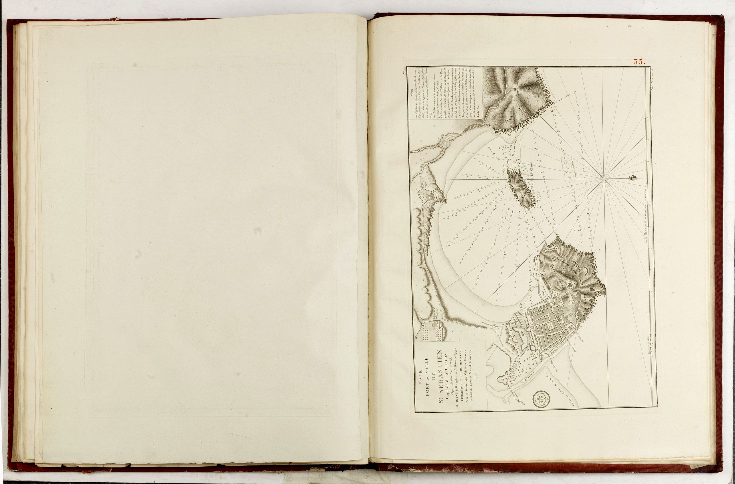
35 Baie Port et Ville de St Sébastien. 1793.
36 (110) Côtes d'Espagne : Guipuzcoa, Biscaye et pays des Quatre Villes. 1793.
37 Anse et Barre de Bilbao. 1795.
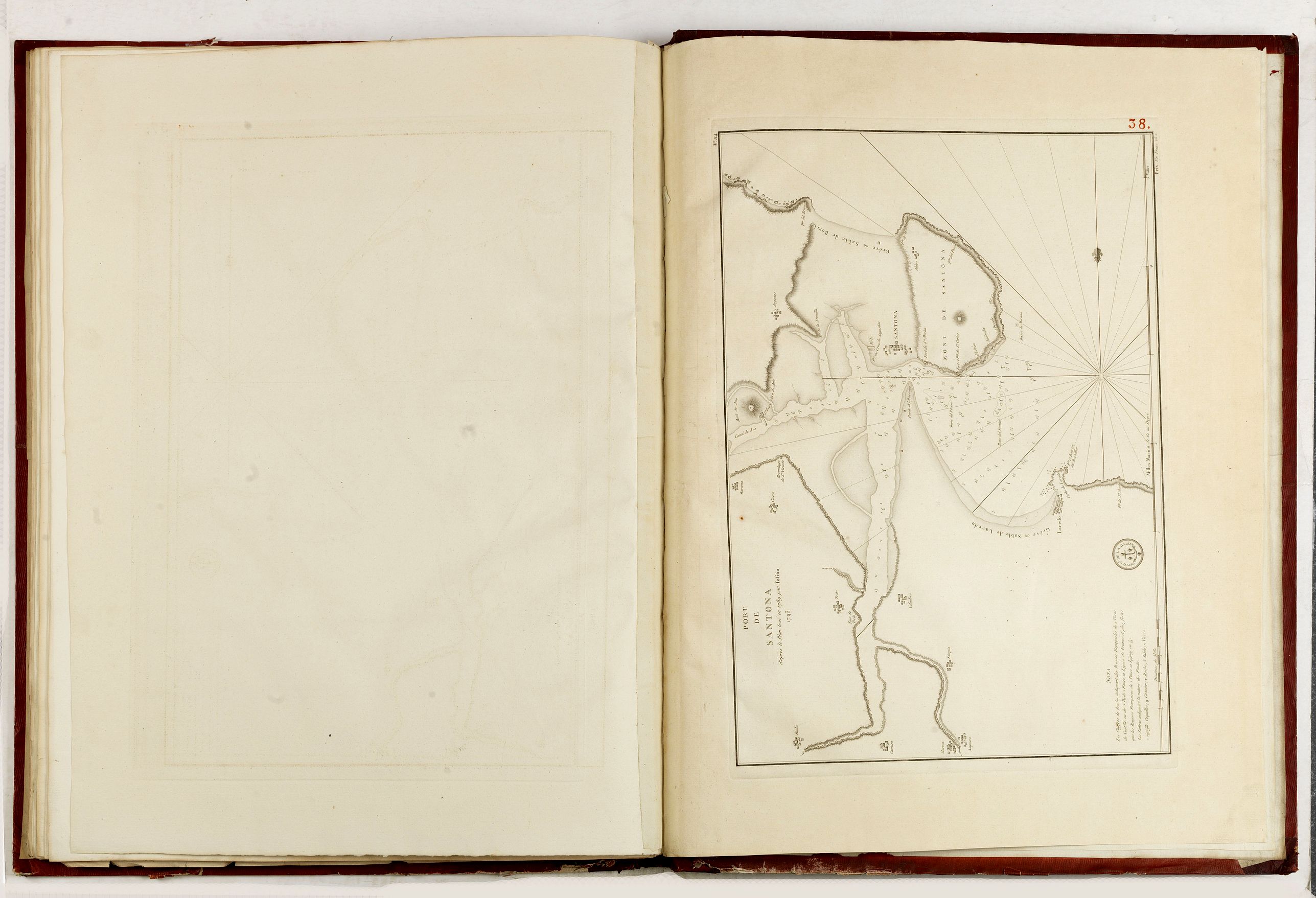
38 Port de Santona. 1793.
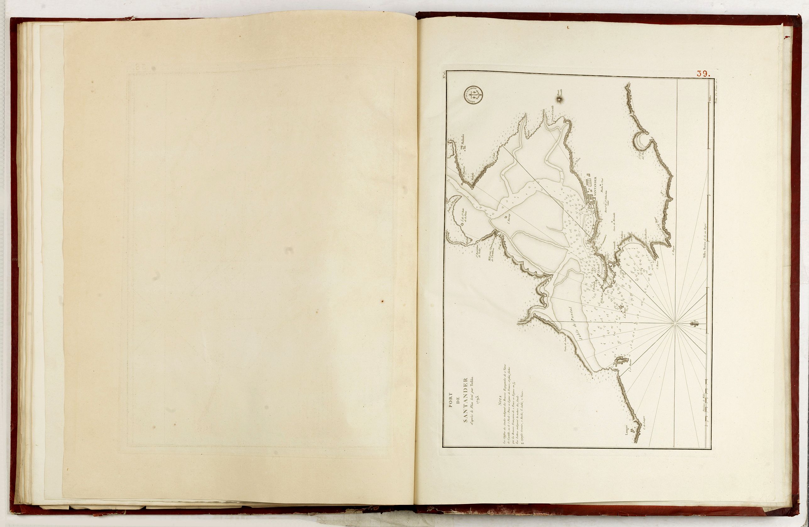
39 Port de Santander. 1793
FAQ - Guarantee - Shipping
994 BuyBidBuying in the BuyNow Gallery
This item is available for immediate purchase when a "Add to Cart" or "Inquire Now" button is shown.
Payments are accepted in Euros or US Dollars. We accept most major credit cards, PayPal and bank transfer.
Authenticity Guarantee
 We provide professional descriptions, condition report and HiBCoR rating (based on 45 years experience in the map business)
We fully guarantee the authenticity of items we sell. We provide a certificate of authenticity for each purchased item.
Condition / Coloring
We indicate the condition of each item and use our unnique HiBCoR grading system in which four key items determine a map's value: Historical Importance, Beauty, Condition/Coloring and Rarity.
We offer many maps in their original black and white condition. We do not systematically color-up maps to make them more sellable to the general public or buyer.
Copper engraved or wood block maps are always hand colored. Maps were initially colored for aesthetic reasons and to improve readability. Nowadays, it is becoming a challenge to find maps in their original colors and are therefor more valuable.
We use the following color keys in our catalog:
Original colors; mean that the colors have been applied around the time the map was issued.
Colored; If the colors are applied recently or at the end of the 20th century, then "colored", or "attractive colors" will be used.
Original o/l colors; means the map has only the borders colored at the time of publication.
Read more about coloring of maps [+]
FAQ
Please have a look for more information about buying in the BuyNow gallery.
Many answers are likely to find in the general help section.
My Collection+
![]()
With My Collection+ you can collect all your favorite items in one place. It is free, and anyone can create his or her virtual map collection.
Unless you are logged in, the item is only saved for this session. You have to be registed and logged-in if you want to save this item permanently to My Collection+.
Read More [+]
If you want to save the items permanently, please sign in
or create account first. ![]()
Registering Here, it is and you do not need a credit card.
Add this item to
My Collection+
or click the following link to see My Collection+.
Invoice
The invoice and certificates of authenticity are available in the client center >Invoices
| Digital Image Download | |
|
Paulus Swaen maintains an archive of most of our high-resolution rare maps, prints, posters and medieval manuscript scans. We make them freely available for download and study. Read more about free image download |
Click the image for a free small image download. |


In accordance with the EU Consumer Rights Directive and habitually reside in the European Union you have the right to cancel the contract for the purchase of a lot, without giving any reason.
The cancellation period will expire 14 calendar days from the day after the date on which you or a third party (other than the carrier and indicated by you) acquires, physical possession of the lot. To exercise the right to cancel you must inform Paulus Swaen Inc, of your decision to cancel this contract by a clear statement (e.g. a letter sent by post, or e-mail.
To meet the cancellation deadline, it is sufficient for you to send your communication concerning your exercise of the right to cancel before the cancellation period has expired.
